Shopping for Collectibles? You’ve come to the right place.
With nearly 3 million items in our catalog, Bonanza is your destination for Art & Collectibles. Discover rare, unique, and vintage goods you won’t find anywhere else.


| Category: | |
|---|---|
| Quantity Available: |
Only one in stock, order soon |
| Condition: |
Used |
| Country/Region of Manufacture: |
United States |
| Modified Item: |
No |
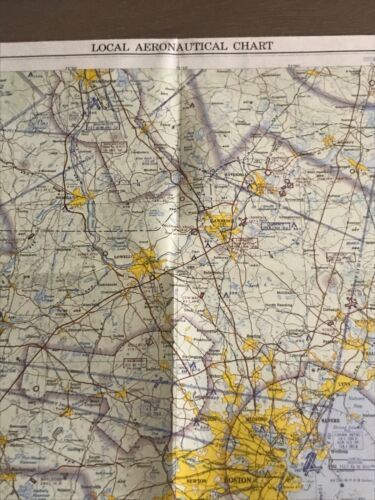
| Type: |
Maps |
| Shipping discount: |
No combined shipping offered |
|---|---|
| Posted for sale: |
More than a week ago |
| Item number: |
1737969546 |
We'll email you a link to your item now and follow up with a single reminder (if you'd like one). That's it! No spam, no hassle.