Rendered at 20:29:41 08/20/25

Shipping options
Seller handling time is 10 business days Details
FREE in United States
Return policy
Replacement product available within 30 days
Details
Purchase protection
Payment options
PayPal accepted
PayPal Credit accepted
Venmo accepted
PayPal, MasterCard, Visa, Discover, and American Express accepted
Maestro accepted
Amazon Pay accepted
Nuvei accepted
Item traits
| Category: | |
|---|---|
| Quantity Available: |
Only one in stock, order soon |
| Condition: |
Unspecified by seller, may be new. |
Listing details
| Seller policies: | |
|---|---|
| Posted for sale: |
More than a week ago |
| Item number: |
1424860320 |
Item description
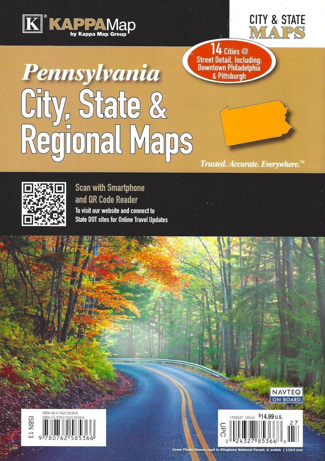
Pennsylvania City, State, Regional Maps is a full-color City-State Street atlas, including the city insets of: Allentown, Altoona, Bethlehem, Erie, Harrisburg, Lancaster, Levittown, Philadelphia, Pittsburgh, Reading, Scranton, State College, Wilkes-Barre, York; and features: Allegheny National Forest, Downtown Philadelphia, Downtown Pittsburgh, Interstate Exit Numbers, Parks Recreational Areas, Pennsylvania Regional Maps, Places of Interest, Susquehannock State Forest
Added to your wish list!

- Pennsylvania City, State, & Regional Maps Street Atlas (K)
- 1 in stock
- Handling time 10 days.
- Returns/refunds accepted
Get an item reminder
We'll email you a link to your item now and follow up with a single reminder (if you'd like one). That's it! No spam, no hassle.
Already have an account?
Log in and add this item to your wish list.