Rendered at 09:10:39 08/21/25


Shipping options
Estimated to arrive by Wed, Sep 10th.
Details
FREE via UPS Ground (1 to 5 business days) to United States
Return policy
Replacement product available within 30 days
Details
Purchase protection
Payment options
PayPal accepted
PayPal Credit accepted
Venmo accepted
PayPal, MasterCard, Visa, Discover, and American Express accepted
Maestro accepted
Amazon Pay accepted
Nuvei accepted
Item traits
| Category: | |
|---|---|
| Quantity Available: |
Only one in stock, order soon |
| Condition: |
New |
| Country/Region of Manufacture: |
United States |
Listing details
| Seller policies: | |
|---|---|
| Posted for sale: |
More than a week ago |
| Item number: |
1744962974 |
Item description
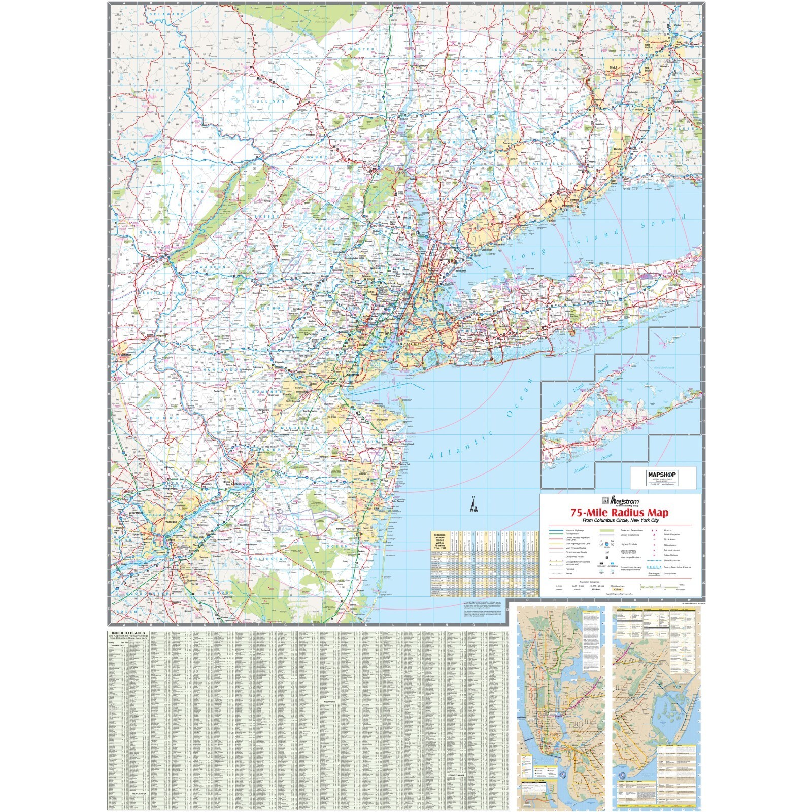
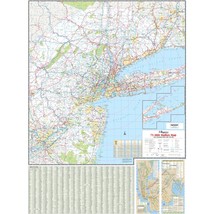
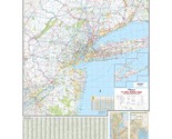
New York City 75-Mile Radius Wall Map
The New York City 75-Mile Radius Tri-State Area Regional Wall Map is an expansive map that provides a detailed view of the New York City metropolitan area and surrounding regions, extending into New Jersey, Connecticut, and Pennsylvania. It highlights an extensive road network, featuring major highways, toll roads, and other significant routes, facilitating travel planning and navigation within one of the most densely populated areas in the United States. The area of coverage includes the following:
Nassau, Orange, Putnam, Rockland, Suffolk, and Westchester Counties, and portions of Duchess and Ulster Counties, in New York
Airfield, Litchfield, and New Haven Counties, and portions of Hartford and Middlesex Counties, in Connecticut
Bergen, Essex, Hudson, Hunterdon, Mercer, Middlesex, Monmouth, Morris, Passaic, Somerset, Sussex, and Warren Counties, and portions of Burlington and Ocean Counties, in New Jersey
The map covers an area with the following boundaries:
North to Waterbury, CT; Poughkeepsie, NY; and Hartford, CT
South to Philadelphia, PA; and Stafford, NJ
East to Montauk Point, NY; and New Haven and Hartford, CT
West to Allentown and Bethlehem, PA
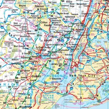
The map includes a comprehensive index of towns and cities, which is detailed along the bottom edge, aiding users in locating specific areas. Insets of the map focus on high-density regions, providing a more granular look at the intricate urban roadways. A 75-mile radius circle centered on New York City is clearly marked, giving context to the map?s scope. Additional information such as a mileage chart for estimating distances between key locations is included, and a legend defines the symbols and color codes used to denote various types of infrastructure and points of interest. This map is a resourceful guide for residents, businesses, and visitors, offering detailed geographic information for a significant portion of the Tri-State area.
Added to your wish list!
- New York City 75-Mile Radius Wall Map
- 1 in stock
- Handling time 10 days. Estimated delivery: Wed, Sep 10th
- Returns/refunds accepted
Get an item reminder
We'll email you a link to your item now and follow up with a single reminder (if you'd like one). That's it! No spam, no hassle.
Already have an account?
Log in and add this item to your wish list.