Rendered at 14:47:09 07/24/25


Free Shipping
28 recent views
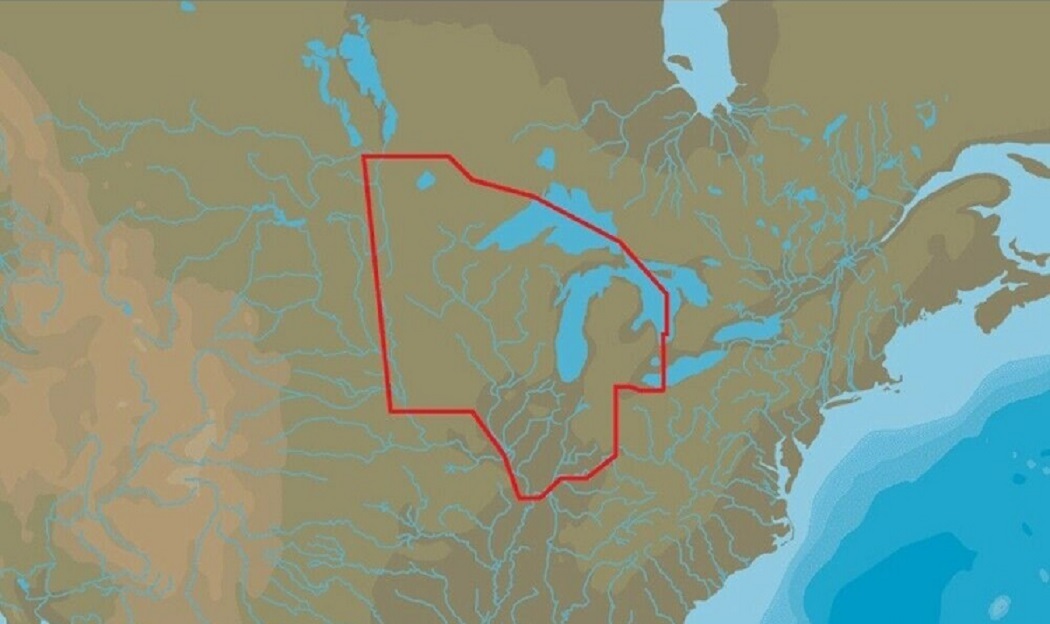
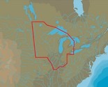
LOWRANCE US LAKES: NORTH CENTRAL MAX-N+ With Marina Info & Port Services
$169.90

Shipping options
Seller handling time is 1 business day Details
FREE via Unspecified shipping type to United States
Return policy
Full refund available within 30 days
Purchase protection
Payment options
PayPal accepted
PayPal Credit accepted
Venmo accepted
PayPal, MasterCard, Visa, Discover, and American Express accepted
Maestro accepted
Amazon Pay accepted
Nuvei accepted
Item traits
| Category: | |
|---|---|
| Quantity Available: |
Only one in stock, order soon |
| Condition: |
New |
| Features: |
Sport Fishing data |
| UPC: |
9420064103560 |
Listing details
| Seller policies: | |
|---|---|
| Shipping discount: |
Seller pays shipping for this item. |
| Posted for sale: |
More than a week ago |
| Item number: |
893556124 |
Item description
GVO Marine Electronics:
We provide reliable, safe online shopping 24 hours a day, 7 days a week throughout the U.S. and the world. We are strongly committed to providing our customers with top quality merchandise and world class service.
Model 84300
M-NA-Y072-MS
When you choose C-MAP you can count on accurate, up-to-date charts from official sources worldwide, advanced features, and C-MAP's commitment to safe navigation. C-MAP MAX-N+ cartography brings the majority of the C-MAP 4D content and many of its features and functions to selected navigation systems, combining accurate, up-to-date global chart data with features designed specifically for avid anglers, cruisers and sailors.
Features:
High-Resolution Bathymetric (HRB) bottom contour/fishing charts to help anglers target fish-holding coastal and offshore structure more effectively
Dynamic Tides Currents predictions that help anglers determine the best times to hit productive rips, shoals, rocks and channels
Aerial photos and worldwide database of Marina Info/Port Services great for cruisers, sailors, and traveling fishermen
Sport Fishing Data for valuable information on wrecks/reefs, including composition, depth, orientation and other details anglers can use to fish more effectively
High-resolution satellite imagery to enhance situational awareness and improve safety
Dynamic Raster Charts for a traditional "paper chart" look with the ability to "pull up" information on important chart objects
Shaded relief vector chart presentation highlights specific depth contours, valuable when cruising or fishing
GVO Marine Electronics: .
Get the item you ordered or get your money back.
Covers your purchase price and original shipping.
Added to your wish list!
- LOWRANCE US LAKES: NORTH CENTRAL MAX-N+ With Marina Info & Port Services
- 1 in stock
- Handling time 1 day.
- Returns/refunds accepted
Get an item reminder
We'll email you a link to your item now and follow up with a single reminder (if you'd like one). That's it! No spam, no hassle.
Already have an account?
Log in and add this item to your wish list.