HISTORIX Vintage 1914 Lincoln Highway Map Poster - Vintage Map Print of The Linc
Shipping options
Seller handling time is 2 business days Details
This reflects the seller's handling time and may not include time spent in transit.
If you have questions about shipping, please contact the seller.
FREE via to United States
Return policy
Full refund available for DOAs
Details
- We guarantee our products and offer full refunds or exchange for defective items or items not as-described.
- Buyer must contact us within 30 days after receipt of shipment.
- The item must be received in the same condition as shipped.
- Items must be returned with all original packaging and accessories.
- Items must not be abused, modified or damaged by accident.
- A 20% restocking fee will be charged for returns
- Buyer is responsible for all return shipping and handling fees.
- Restocking and return shipping fees do not apply when item is returned as defective or because incorrect product was delivered.
Payment options
PayPal accepted
PayPal Credit accepted
Venmo accepted
PayPal, MasterCard, Visa, Discover, and American Express accepted
Maestro accepted
Amazon Pay accepted
Nuvei accepted
Item traits
| Category: |
Laminating Machines
|
| Quantity Available: |
16 in stock
|
| Condition: |
New
|
| ASIN: |
B0CV5VN7FH
|
| color: |
Natural
|
| manufacturer: |
HISTORIX
|
| Bullet Point: |
View details
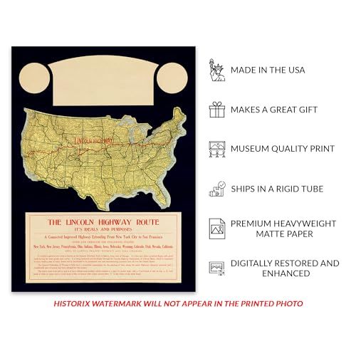
VINTAGE MAP REPRODUCTION: You’ll love this high quality historic reproduction of 1914 Lincoln Highway Map Poster. Our museum quality prints are archival grade, which means it will look great and last without fading for over 100 years. Our print to...
|
| Product Description: |
View details
One of the first transcontinental American highways and also designed expressly for automobile travel, the Lincoln Highway was first developed as a concept in 1912 by Indiana-based entrepreneur Carl G. Fisher, who envisioned a route that allowe...
|
| Brand: |
HISTORIX
|
| Item Name: |
View details
HISTORIX Vintage 1914 Lincoln Highway Map Poster - Vintage Map Print of The Lincoln Highway Route from New York City to San Francisco
|
| Item Type Keyword: |
prints
|
| Product Site Launch Date: |
2024-09-03T09:49:03.802Z
|
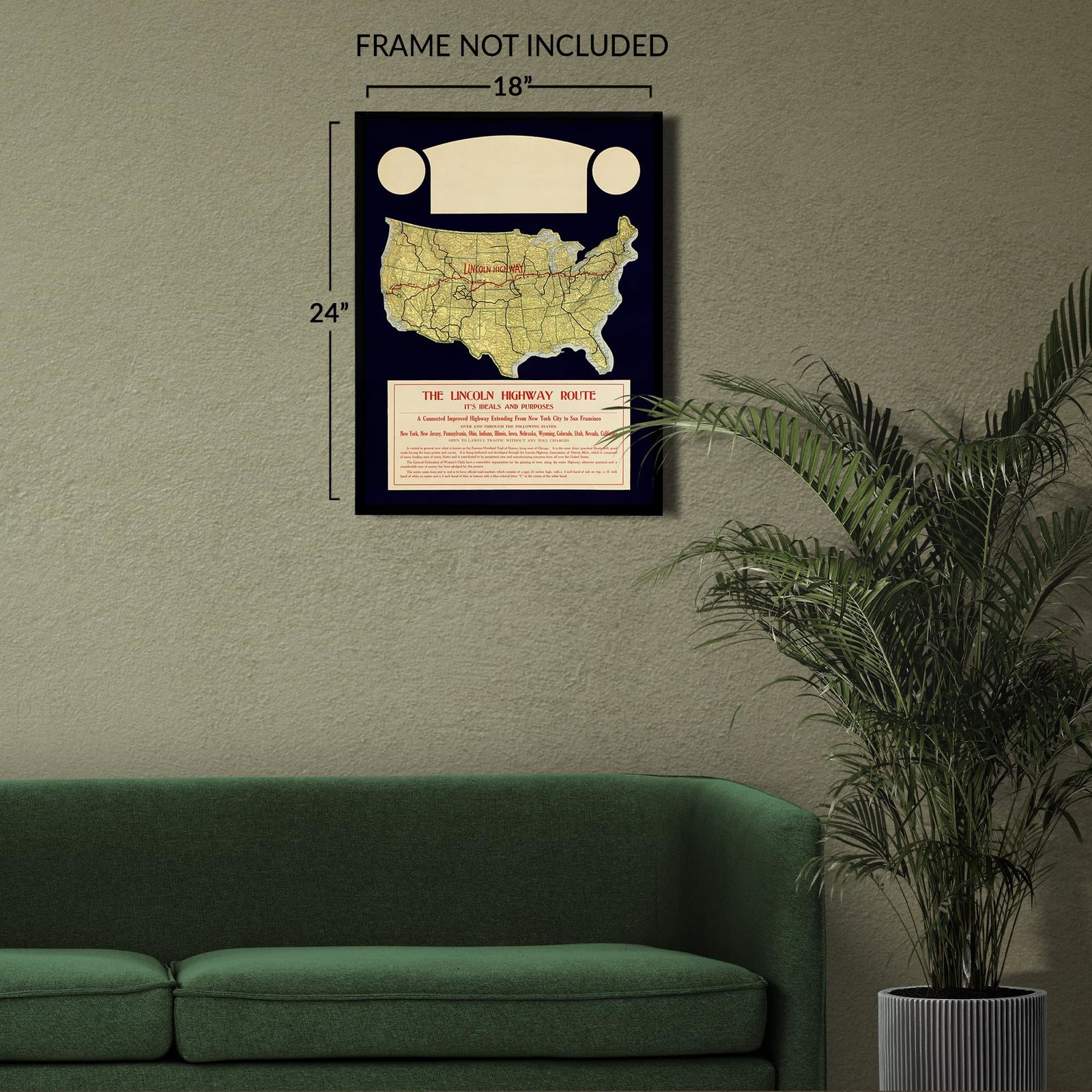
| sizes: |
View details
18x24 Inch (8 in stock)
24x30 Inch (8 in stock)
|
Listing details
|
Seller policies:
|
View seller policies
|
|
Shipping discount:
|
Seller pays shipping for this item.
|
|
Posted for sale:
|
July 8
|
|
Item number:
|
1758348635
|
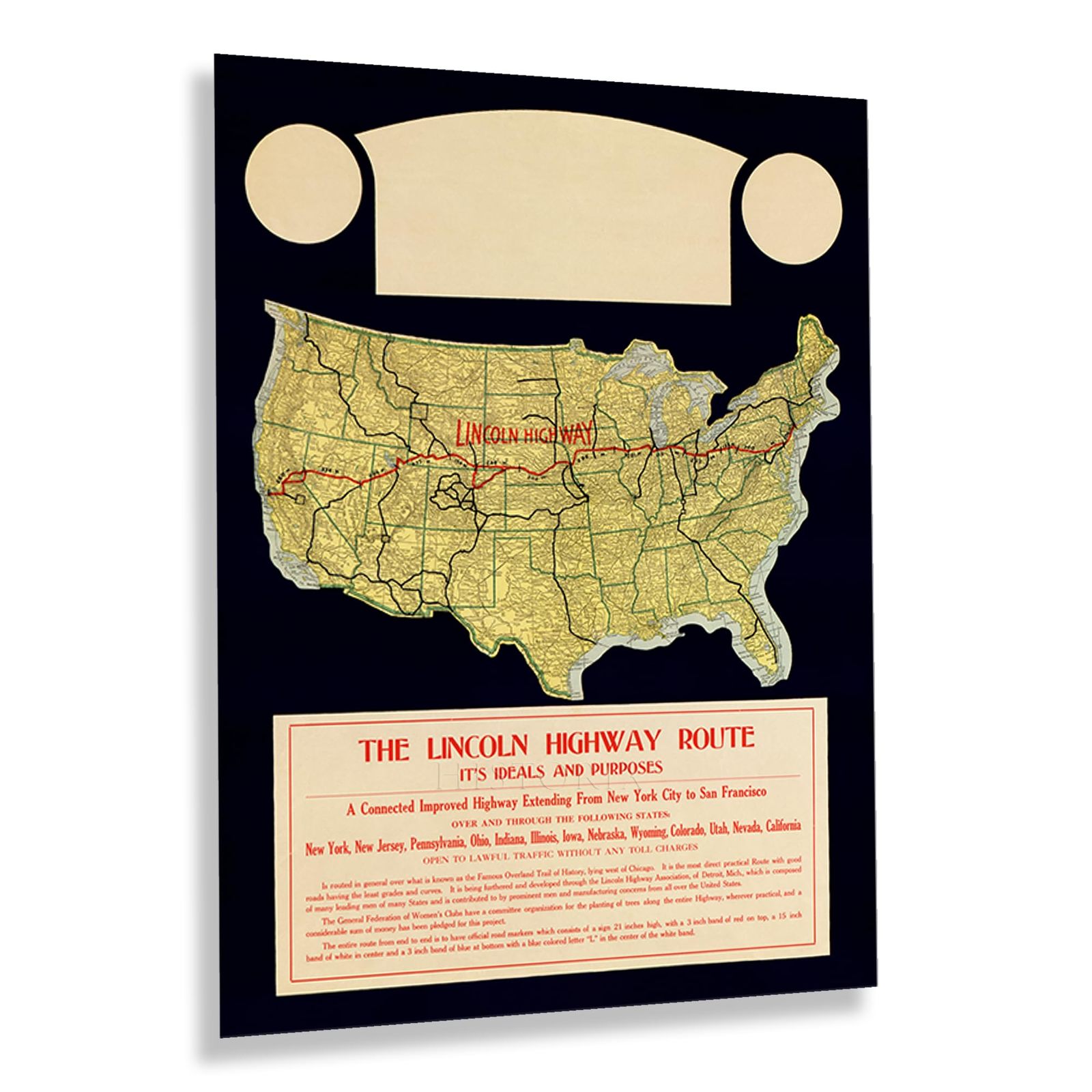
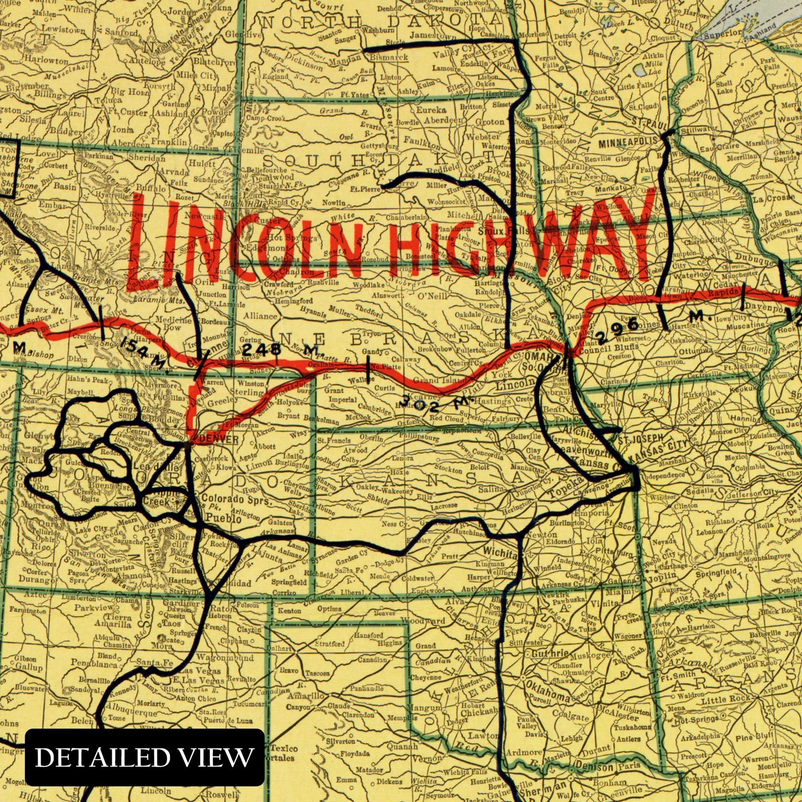
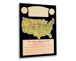
One of the first transcontinental American highways and also designed expressly for automobile travel, the Lincoln Highway was first developed as a concept in 1912 by Indiana-based entrepreneur Carl G. Fisher, who envisioned a route that allowed travelers to go from Times Square in New York to Lincoln Park in San Francisco. The original course traveled across thirteen states, though the Colorado Loop was removed in 1915, and in 1928 the Lincoln Highway was rerouted through Northern West Virginia, making the total states traversed fourteen. Fisher's inspiration for the project came from his interests in automobile construction, and he understood the need for federal infrastructure to support the burgeoning industry during the early portions of the twentieth century.
The Lincoln Highway starts at the intersection of 42nd Street and Broadway in Times Square before crossing the United States and terminating in front of the fountain of the California Palace of the Legion of Honor. The highway was the first memorial to American President Abraham Lincoln and predated the Lincoln Memorial in Washington, DC, by nine years. The Lincoln Highway allowed numerous towns and cities to prosper as travelers sought lodging in motor inns, restaurants, and fueling stations along the route which became known as the "The Main Street Across America."
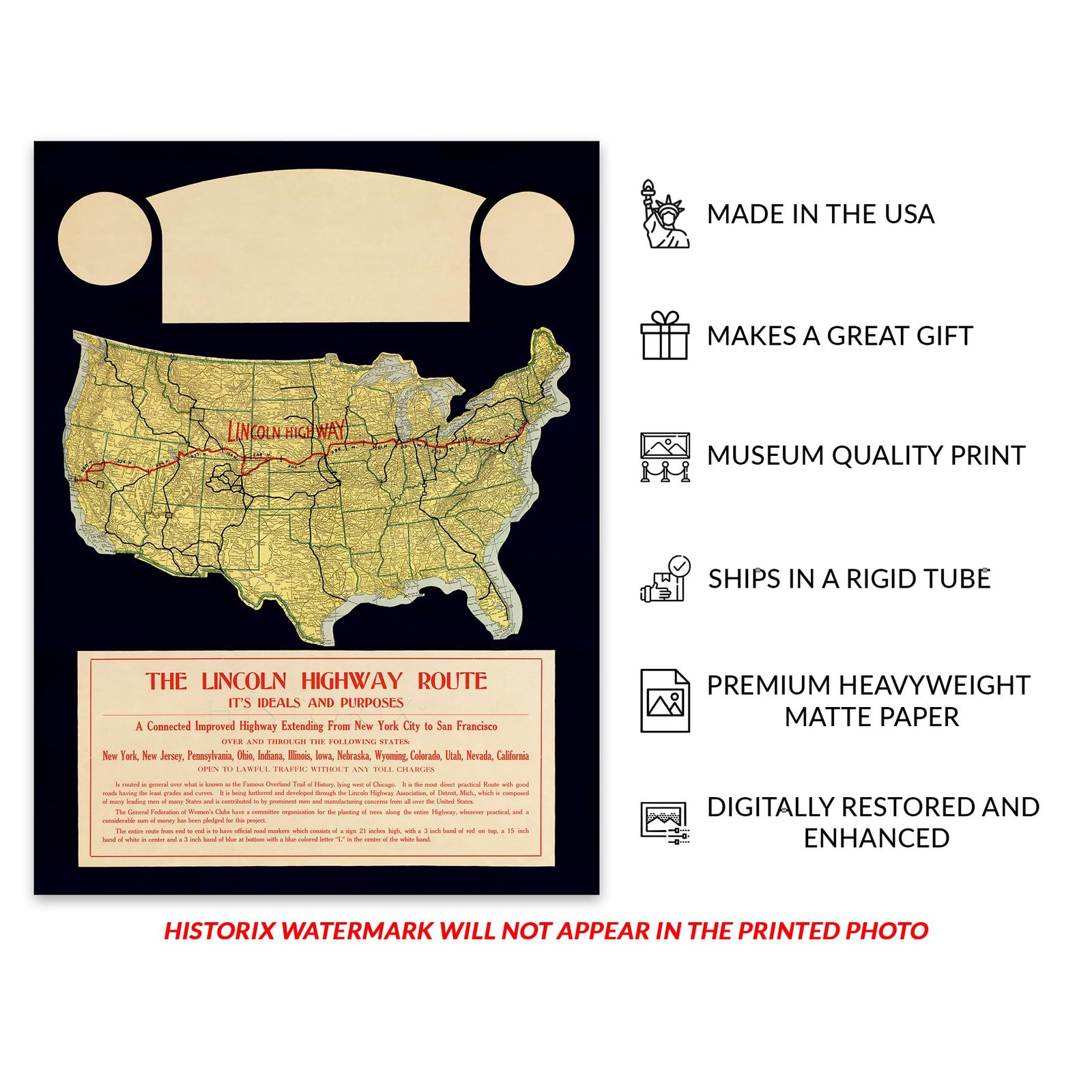
This map's distinctive aesthetic and classic style are immediately recognizable and transport the viewer back in time, creating an indelible link to the past and present. This is an authentic piece of early twentieth-century American travel and cartographical history.
Additional Details
------------------------------
Bullet point: VINTAGE MAP REPRODUCTION: You?ll love this high quality historic reproduction of 1914 Lincoln Highway Map Poster. Our museum quality prints are archival grade, which means it will look great and last without fading for over 100 years. Our print to order maps are made in the USA and each map is inspected for quality. This beautiful artwork is a perfect addition to your themed decor. Vintage maps look great in the home, study or office. They make a perfect gift as well.
Product description:
One of the first transcontinental American highways and also designed expressly for automobile travel, the Lincoln Highway was first developed as a concept in 1912 by Indiana-based entrepreneur Carl G. Fisher, who envisioned a route that allowed travelers to go from Times Square in New York to Lincoln Park in San Francisco. The original course traveled across thirteen states, though the Colorado Loop was removed in 1915, and in 1928 the Lincoln Highway was rerouted through Northern West Virginia, making the total states traversed fourteen. Fisher's inspiration for the project came from his interests in automobile construction, and he understood the need for federal infrastructure to support the burgeoning industry during the early portions of the twentieth century.
The Lincoln Highway starts at the intersection of 42nd Street and Broadway in Times Square before crossing the United States and terminating in front of the fountain of the California Palace of the Legion of Honor. The highway was the first memorial to American President Abraham Lincoln and predated the Lincoln Memorial in Washington, DC, by nine years. The Lincoln Highway allowed numerous towns and cities to prosper as travelers sought lodging in motor inns, restaurants, and fueling stations along the route which became known as the "The Main Street Across America."
This map's distinctive aesthetic and classic style are immediately recognizable and transport the viewer back in time, creating an indelible link to the past and present. This is an authentic piece of early twentieth-century American travel and cartographical history.