HISTORIX Vintage 1776 Plan of New York City Map Print - 18x24 Inch NYC Vintage M
Shipping options
Seller handling time is 2 business days Details
This reflects the seller's handling time and may not include time spent in transit.
If you have questions about shipping, please contact the seller.
FREE via to United States
Return policy
Full refund available for DOAs
Details
- We guarantee our products and offer full refunds or exchange for defective items or items not as-described.
- Buyer must contact us within 30 days after receipt of shipment.
- The item must be received in the same condition as shipped.
- Items must be returned with all original packaging and accessories.
- Items must not be abused, modified or damaged by accident.
- A 20% restocking fee will be charged for returns
- Buyer is responsible for all return shipping and handling fees.
- Restocking and return shipping fees do not apply when item is returned as defective or because incorrect product was delivered.
Payment options
PayPal accepted
PayPal Credit accepted
Venmo accepted
PayPal, MasterCard, Visa, Discover, and American Express accepted
Maestro accepted
Amazon Pay accepted
Nuvei accepted
Item traits
| Category: |
Posters & Prints
|
| Quantity Available: |
16 in stock
|
| Condition: |
New with tags
|
| ASIN: |
B08739X9QQ
|
| Item Name: |
HISTORIX 1776 A plan of the city and environs of New York
|
| manufacturer: |
Historix
|
| Item Type Keyword: |
prints
|
| Brand: |
HISTORIX
|
| sizes: |
View details
18L" x 24W" (8 in stock)
32L" x 24W" (8 in stock)
|
Listing details
|
Seller policies:
|
View seller policies
|
|
Shipping discount:
|
Seller pays shipping for this item.
|
|
Posted for sale:
|
July 8
|
|
Item number:
|
1758347535
|
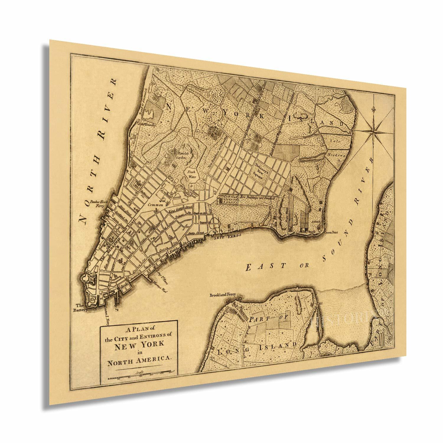
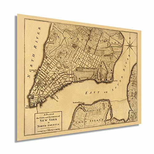
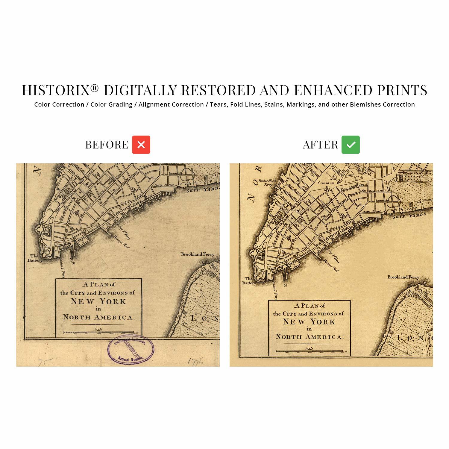
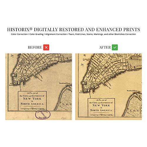
Published in 1776, this depiction of the iconic New York City was created at a time of great upheaval in the colonies. These years marked the New York and New Jersey Campaigns where skirmishes between colonials fed up with British rule and taxation had taken up arms and were fighting troops throughout the eastern seaboard. The Continental Army under General George Washington had been pushed out of New York City. It was posted in New Jersey, where they successfully contained British General Sir William Howe back into New York. This success, however, did not keep the British from maintaining control of New York’s port until their eventual defeat in 1873.
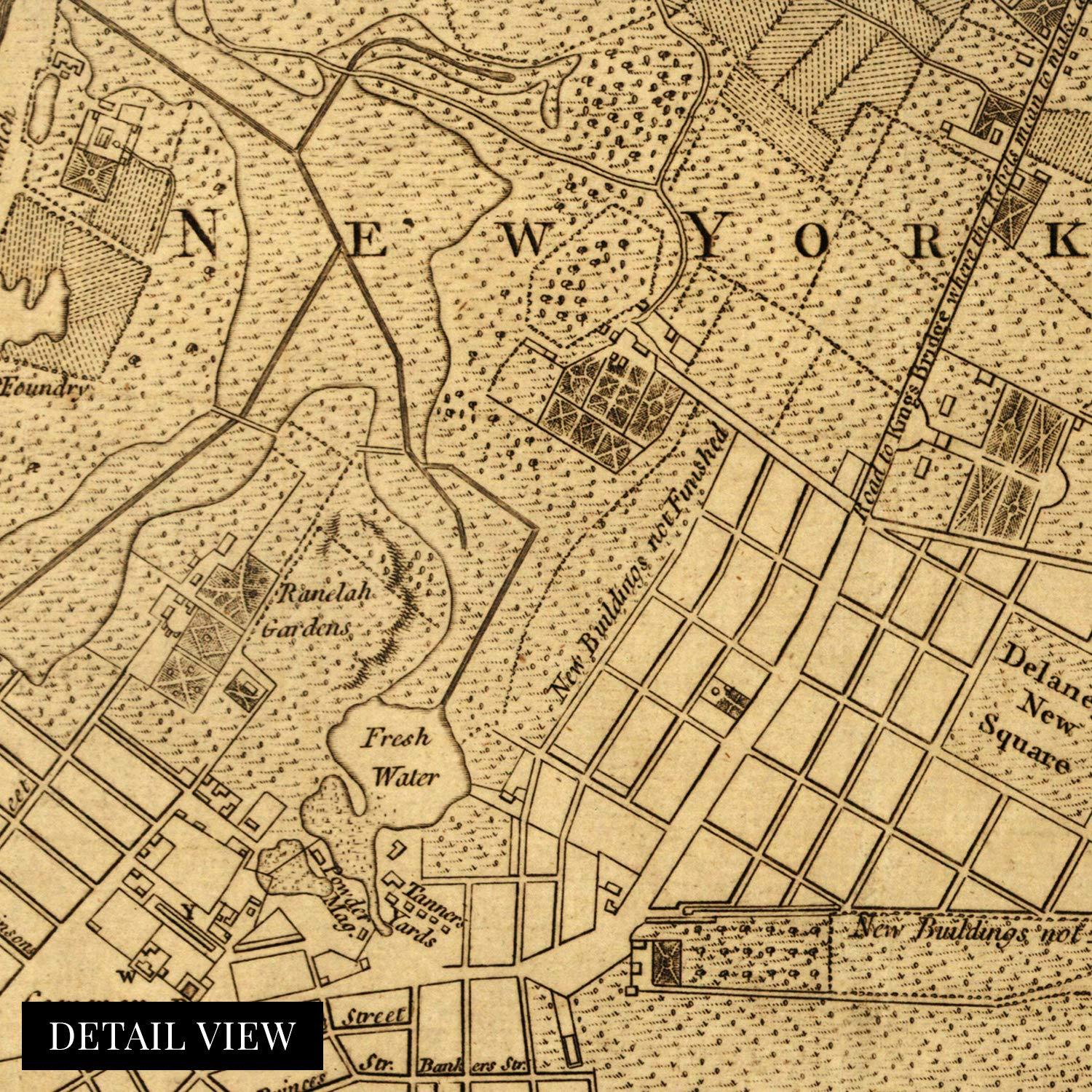
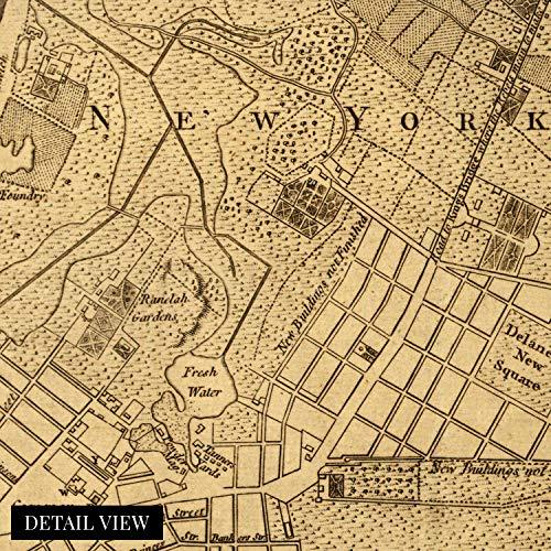
This map shows the Road to Kings Bridge, where the Rebels mean to make a stand and is a truly authentic piece of cartographical history. This map was published in the same year, but before, The Great Fire of New York ravaged the city, destroying some twenty-five percent of the city. This destruction was blamed on residents by the British troops, with civilians blaming the soldiers themselves. The fire had a significant effect on the British occupation as they seized private property and churches to create makeshift barracks and prisons. Crime and poor sanitation would mar the city until the eventual defeat of the British in 1873.
New York City has always been tolerant of immigrants, and the port remained the busiest in the world until 1984, its importance as the cultural and financial capital of the United States cannot be underestimated.
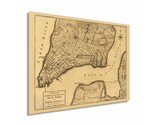
Our museum quality giclee print comes printed with archival ink on premium heavyweight matte paper. Shipped in a sturdy cardboard tube your print will arrive ready to be framed. This eye-catching vintage map print makes the perfect gift for anyone that loves history and imagery.