HISTORIX Vintage 1770 Poland Map Poster - 25x31 Inch Nordic Oak (Natural) Framed
Shipping options
Seller handling time is 2 business days Details
This reflects the seller's handling time and may not include time spent in transit.
If you have questions about shipping, please contact the seller.
FREE via to United States
Return policy
Full refund available for DOAs
Details
- We guarantee our products and offer full refunds or exchange for defective items or items not as-described.
- Buyer must contact us within 30 days after receipt of shipment.
- The item must be received in the same condition as shipped.
- Items must be returned with all original packaging and accessories.
- Items must not be abused, modified or damaged by accident.
- A 20% restocking fee will be charged for returns
- Buyer is responsible for all return shipping and handling fees.
- Restocking and return shipping fees do not apply when item is returned as defective or because incorrect product was delivered.
Payment options
PayPal accepted
PayPal Credit accepted
Venmo accepted
PayPal, MasterCard, Visa, Discover, and American Express accepted
Maestro accepted
Amazon Pay accepted
Nuvei accepted
Item traits
| Category: |
Books
|
| Quantity Available: |
8 in stock
|
| Condition: |
Brand New
|
| ASIN: |
B09LJSJJS3
|
| EAN: |
0737214976943
|
| UPC: |
737214976943
|
| color: |
Nordic Oak (Natural) Frame
|
| Externally Assigned Product Identifier: |
0737214976943
|
| Item Shape: |
Rectangular
|
| Bullet Point: |
View details
VINTAGE MAP FRAMED: You’ll love this high-quality nordic oak (natural) framed historic reproduction of 1770 Poland Wall Map Poster. Our ready-to-hang maps are printed and framed in the USA by professional art framers using the highest quality mate...
|
| Product Description: |
View details
Published in the latter part of the nineteenth century, this distinct and ornate depiction of Poland and Lithuania shows the nations in a period of massive internal reform and increased political power from progressive urban social classes. The...
|
| brand: |
HISTORIX
|
| Unspsc Code: |
55101500
|
| Paper Finish: |
matte
|
| Item Name: |
View details
HISTORIX Vintage 1770 Poland Map Poster - 25x31 Inch Nordic Oak (Natural) Framed Vintage Poland Wall Art - Old Map of Lithuania - History Map of the Kingdom of Poland and the Grand Dutchy of Lithuania
|
| Item Type Keyword: |
prints
|
| Product Site Launch Date: |
2021-11-10T19:59:15.577Z
|
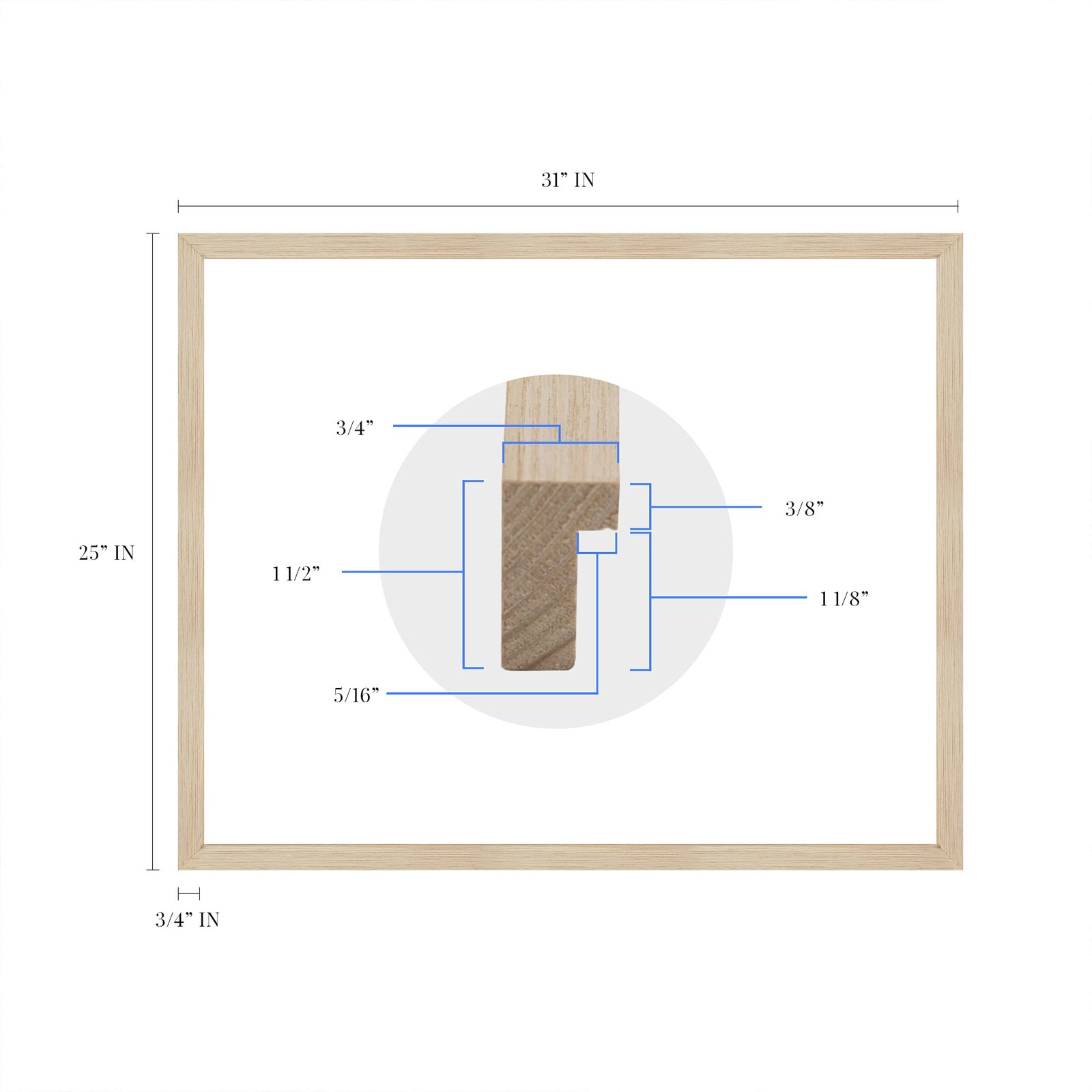
| size: |
25x31 Inch
|
| material: |
Paper
|
| style: |
Retro
|
Listing details
|
Seller policies:
|
View seller policies
|
|
Shipping discount:
|
Seller pays shipping for this item.
|
|
Posted for sale:
|
More than a week ago
|
|
Item number:
|
1735774985
|
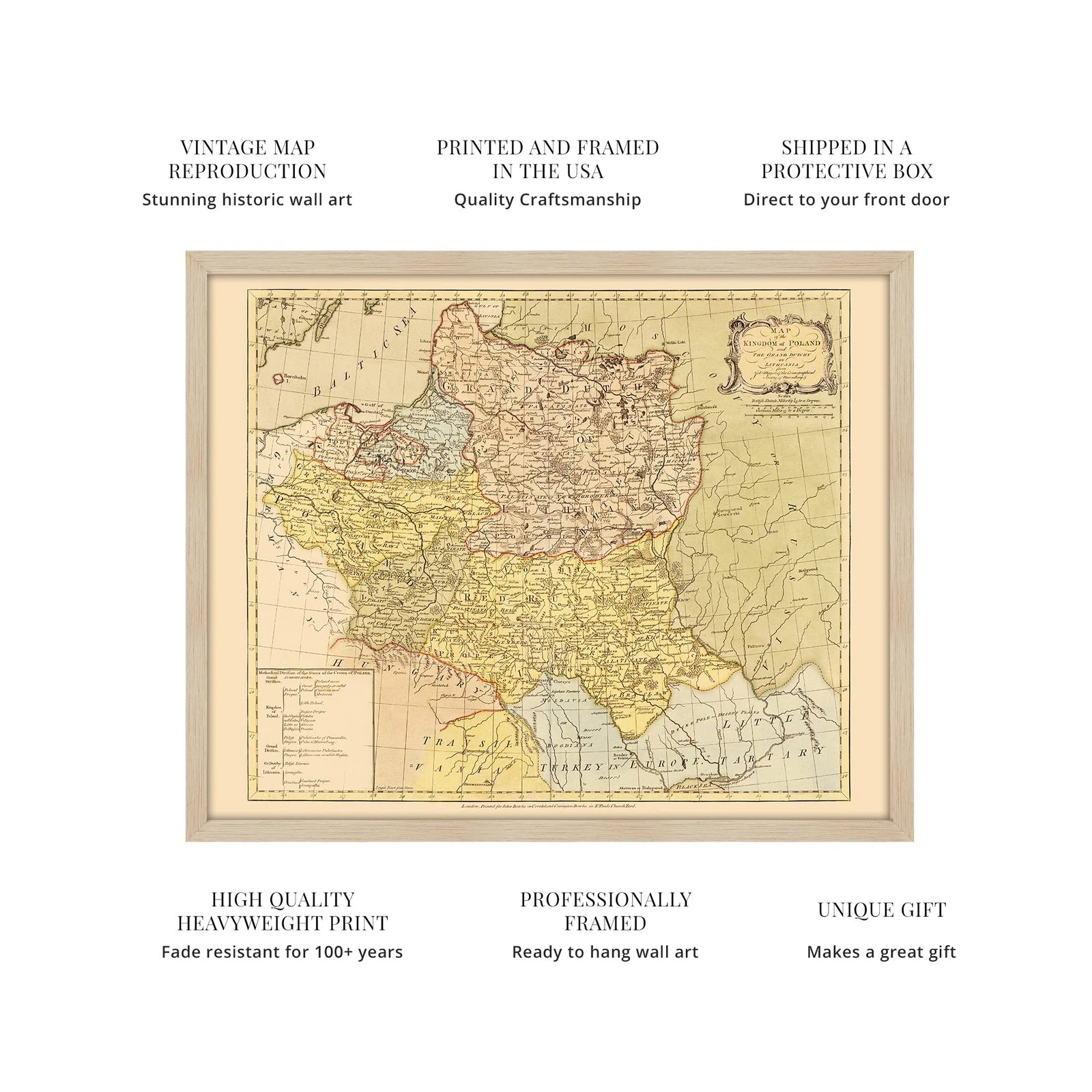
Published in the latter part of the nineteenth century, this distinct and ornate depiction of Poland and Lithuania shows the nations in a period of massive internal reform and increased political power from progressive urban social classes. These conditions created a more robust economy for the country, and the most populous city Warsaw became the leading center for trade.
Produced by German cartographer Job Mayer and published by London Barrister John Bowles, this stunning representation immediately transports the viewer back in time. The Bar Confederation from 1768 to 1782 was a rebellion by the nobility who sought to retain independence for the nation as well as the traditional establishment of noble culture. After the suppression of the Bar Confederation, the commonwealth of Poland was divided into Prussia, Russia, and Austria, which became known as the First Partition of Poland. This is considered by historians to have happened due to Poland’s loss of significant influence in Northeastern Europe in the second half of the eighteenth century. Another contributing factor was the shifting powers of Russia and Europe during this period.
English interest in Eastern European politics was peaked in the eighteenth century as civil unrest in English colonies in America were influencing geopolitical sentiment across Western Europe as well as England. As boundaries shift and new nations are formed, these historical maps provide a rare glimpse of the past and give the viewer a real sense of history. This is a genuine piece of Eastern European cartographical history.
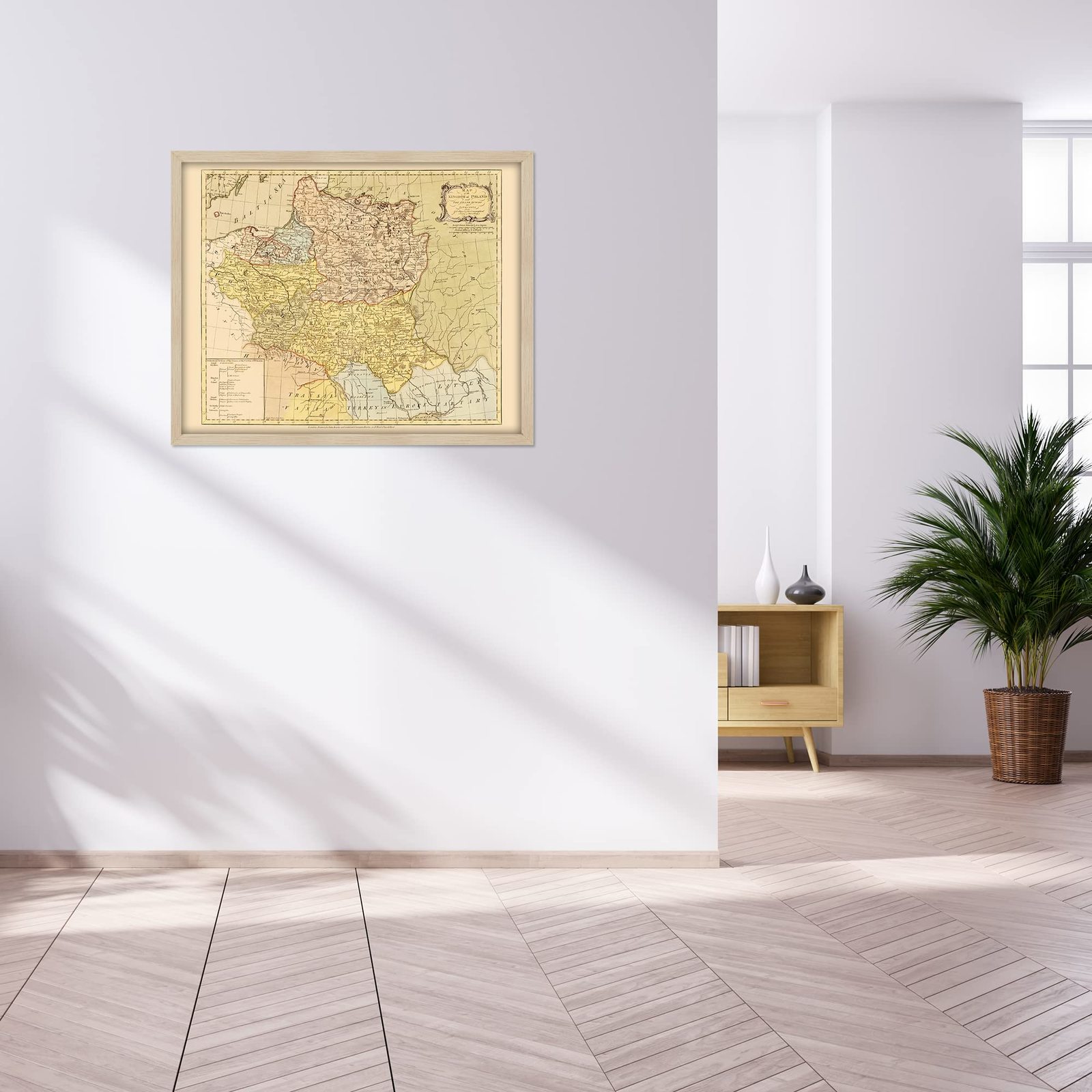
Our ready-to-hang wall art are printed and framed in the USA using the highest quality materials with professional craftsmanship. This beautiful artwork is a perfect addition to your themed decor. Historic prints look great in the home, study or office. They also make an unforgettable gift.
Additional Details
------------------------------
Bullet point: VINTAGE MAP FRAMED: You?ll love this high-quality nordic oak (natural) framed historic reproduction of 1770 Poland Wall Map Poster. Our ready-to-hang maps are printed and framed in the USA by professional art framers using the highest quality materials. Each order is inspected for quality. This beautiful artwork is a perfect addition to your themed decor. Vintage maps look great in the home, study or office. They also make an unforgettable gift.
Product description:
Published in the latter part of the nineteenth century, this distinct and ornate depiction of Poland and Lithuania shows the nations in a period of massive internal reform and increased political power from progressive urban social classes. These conditions created a more robust economy for the country, and the most populous city Warsaw became the leading center for trade.
Produced by German cartographer Job Mayer and published by London Barrister John Bowles, this stunning representation immediately transports the viewer back in time. The Bar Confederation from 1768 to 1782 was a rebellion by the nobility who sought to retain independence for the nation as well as the traditional establishment of noble culture. After the suppression of the Bar Confederation, the commonwealth of Poland was divided into Prussia, Russia, and Austria, which became known as the First Partition of Poland. This is considered by historians to have happened due to Poland’s loss of significant influence in Northeastern Europe in the second half of the eighteenth century. Another contributing factor was the shifting powers of Russia and Europe during this period.
English interest in Eastern European politics was peaked in the eighteenth century as civil unrest in English colonies in America were influencing geopolitical sentiment across Western Europe as well as England. As boundaries shift and new nations are formed, these historical maps provide a rare glimpse of the past and give the viewer a real sense of history. This is a genuine piece of Eastern European cartographical history.
Our ready-to-hang wall art are printed and framed in the USA using the highest quality materials with professional craftsmanship. This beautiful artwork is a perfect addition to your themed decor. Historic prints look great in the home, study or office. They also make an unforgettable gift.