HISTORIX 1998 Mediterranean Basin Map - 12x24 Inch Map of the Mediterranean Regi
Shipping options
Seller handling time is 2 business days Details
This reflects the seller's handling time and may not include time spent in transit.
If you have questions about shipping, please contact the seller.
FREE via to United States
Return policy
Full refund available for DOAs
Details
- We guarantee our products and offer full refunds or exchange for defective items or items not as-described.
- Buyer must contact us within 30 days after receipt of shipment.
- The item must be received in the same condition as shipped.
- Items must be returned with all original packaging and accessories.
- Items must not be abused, modified or damaged by accident.
- A 20% restocking fee will be charged for returns
- Buyer is responsible for all return shipping and handling fees.
- Restocking and return shipping fees do not apply when item is returned as defective or because incorrect product was delivered.
Payment options
PayPal accepted
PayPal Credit accepted
Venmo accepted
PayPal, MasterCard, Visa, Discover, and American Express accepted
Maestro accepted
Amazon Pay accepted
Nuvei accepted
Item traits
| Category: |
Kitchen Scales
|
| Quantity Available: |
8 in stock
|
| Condition: |
New
|
| ASIN: |
B08BKWZJQC
|
| Map Type: |
Historical
|
| Bullet Point: |
View details
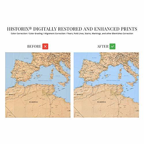
VINTAGE MAP REPRODUCTION: You’ll love this high quality historic reproduction of 1998 Mediterranean Basin Map. Our museum quality maps are archival grade, which means it will look great and last without fading for over 100 years. Our print to orde...
|
| Product Description: |
View details
Published in 1998, this CIA produced map of the Mediterranean Basin bears the distinct aesthetic of intelligence maps and illustrates the geophysical and geopolitical features of one of history’s most storied regions. With Southern Europe...
|
| Brand: |
HISTORIX
|
| Unspsc Code: |
55101500
|
| Item Type Keyword: |
prints
|
| size: |
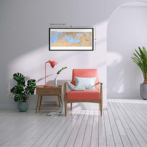
12x24 Inch
|
| manufacturer: |
Historix
|
| Item Shape: |
Rectangular
|
| Paper Finish: |
matte
|
| Item Name: |
View details
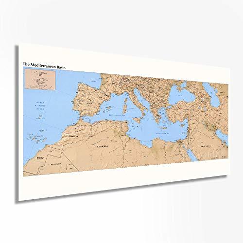
HISTORIX 1998 Mediterranean Basin Map - 12x24 Inch Map of the Mediterranean Region - Mediterranean Sea Map - Mediterranean Map Poster Print
|
| Product Site Launch Date: |
2020-06-21T18:15:39.389Z
|
| Material: |
paper
|
Listing details
|
Seller policies:
|
View seller policies
|
|
Shipping discount:
|
Seller pays shipping for this item.
|
|
Posted for sale:
|
More than a week ago
|
|
Item number:
|
1735817806
|
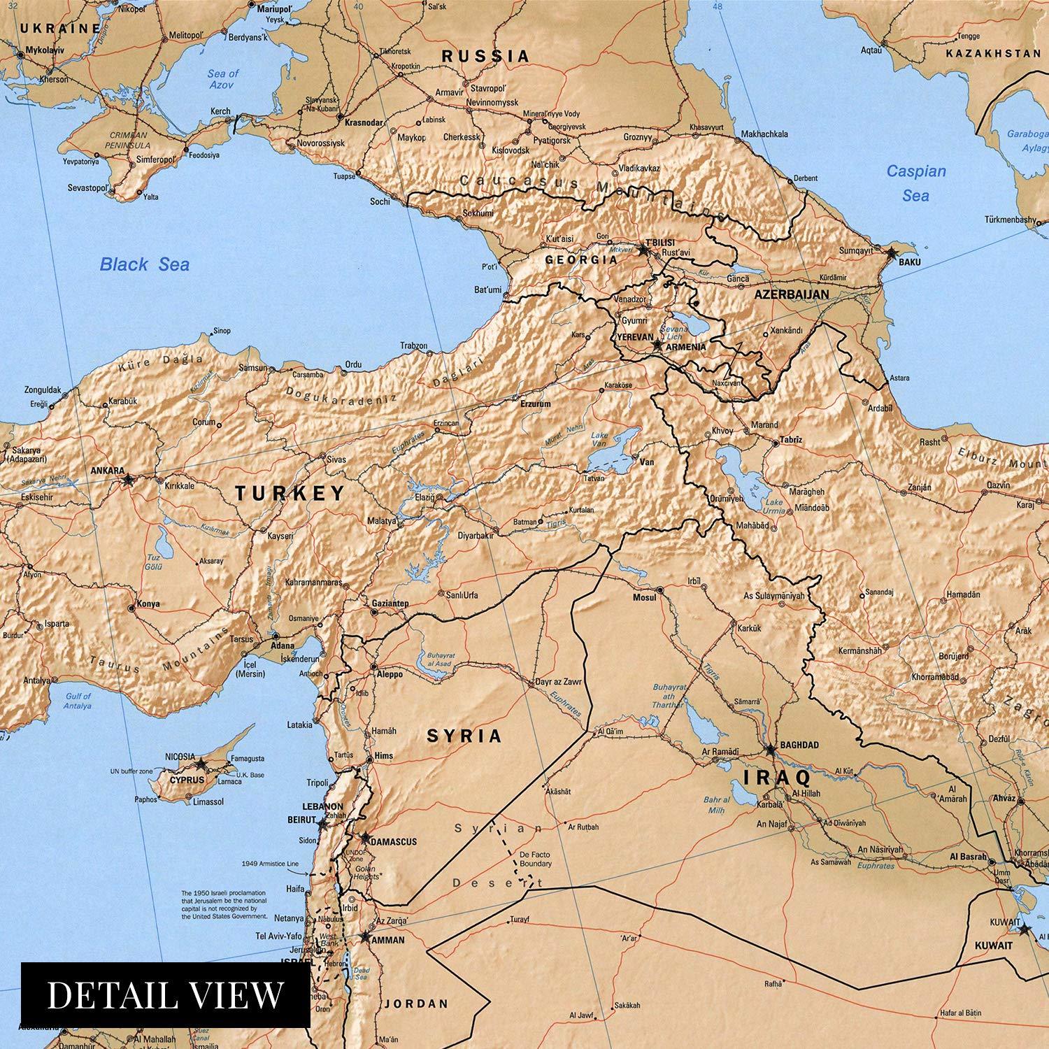
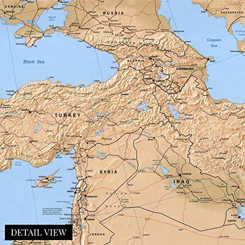
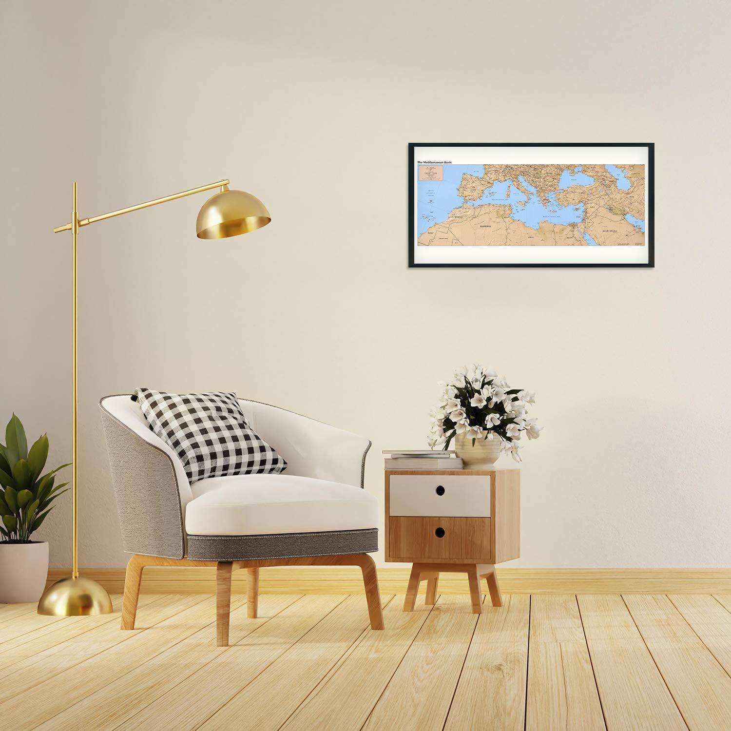
Published in 1998, this CIA produced map of the Mediterranean Basin bears the distinct aesthetic of intelligence maps and illustrates the geophysical and geopolitical features of one of history’s most storied regions. With Southern Europe as its northern boundary, Africa to the South, and the Middle East bordering as well, the diversity and wide range of cultures in the region mark its unique blend of cultures and history.
United States intelligence agencies use these publications, and their signature style has been one of the chief tools of American intelligence for over seventy-five years. While some CIA produced maps have remained top secret, the agency has de-classified others making these rare publications authentic pieces of American cartographical history.
Cartographic support has been crucial in planning war efforts, and productions of this nature allow leaders and military figures critical information regarding different regions and their geopolitical differences. The Mediterranean, due to the vast diversity of the region and numerous cultures that live in the area, presents a remarkable set of challenges for policy decisions.
The Mediterranean Sea itself provided crucial trade routes since ancient times and is responsible for the exchange of culture and information that developed into the modern era. The Sea connects to the Atlantic Ocean at the Straits of Gibraltar, and the relatively short distance allowed for various groups and civilizations throughout history. This critical region and the cultures and nations it is comprised of have been influential in nearly every aspect of western history.
Our museum quality giclee print comes printed with archival ink on premium heavyweight matte paper. Shipped in a sturdy cardboard tube your print will arrive ready to be framed. This eye-catching vintage map reproduction print makes the perfect gift for anyone that loves history and imagery.
Additional Details
------------------------------
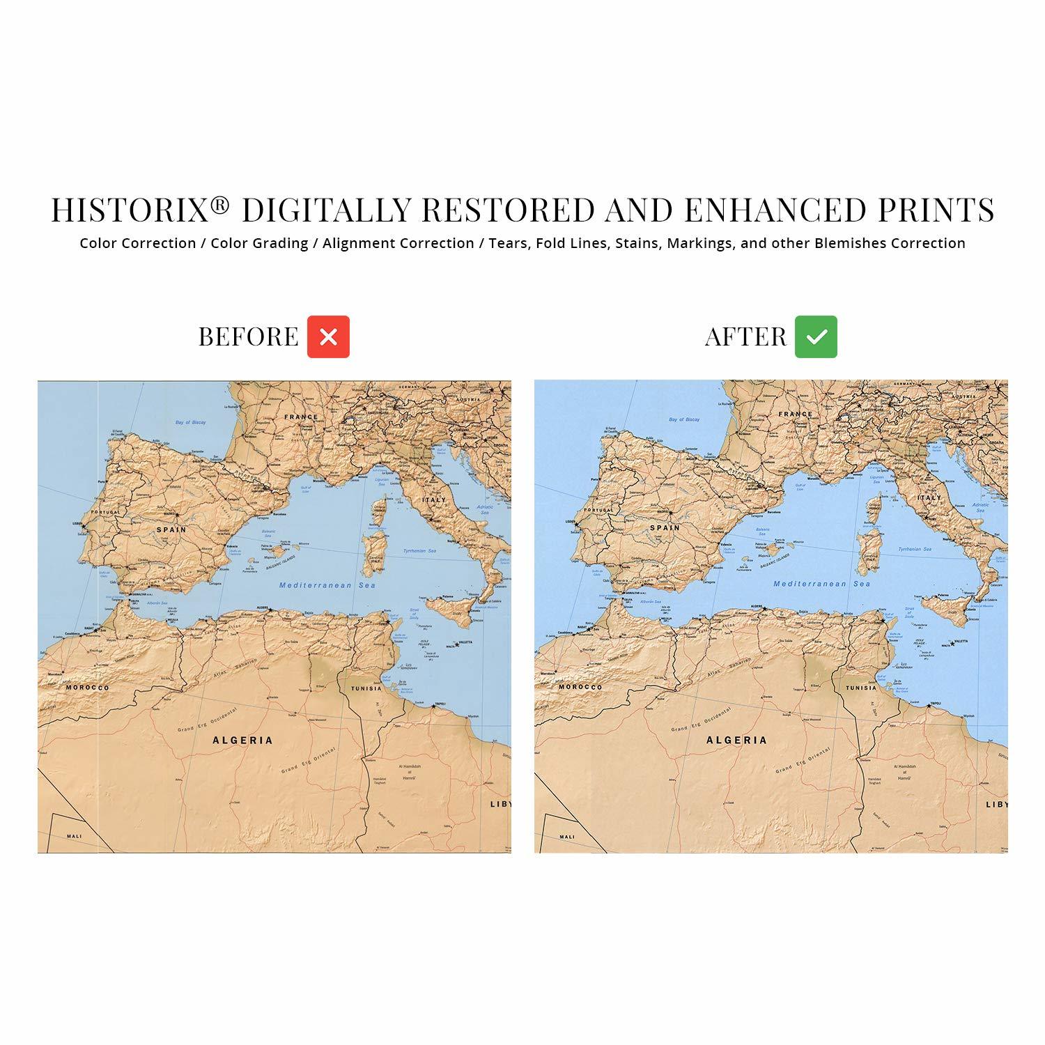
Bullet point: VINTAGE MAP REPRODUCTION: You?ll love this high quality historic reproduction of 1998 Mediterranean Basin Map. Our museum quality maps are archival grade, which means it will look great and last without fading for over 100 years. Our print to order maps are made in the USA and each map is inspected for quality. This beautiful artwork is a perfect addition to your themed decor. Vintage maps look great in the home, study or office. They make a perfect gift as well.
Product description:
Published in 1998, this CIA produced map of the Mediterranean Basin bears the distinct aesthetic of intelligence maps and illustrates the geophysical and geopolitical features of one of history’s most storied regions. With Southern Europe as its northern boundary, Africa to the South, and the Middle East bordering as well, the diversity and wide range of cultures in the region mark its unique blend of cultures and history.
United States intelligence agencies use these publications, and their signature style has been one of the chief tools of American intelligence for over seventy-five years. While some CIA produced maps have remained top secret, the agency has de-classified others making these rare publications authentic pieces of American cartographical history.
Cartographic support has been crucial in planning war efforts, and productions of this nature allow leaders and military figures critical information regarding different regions and their geopolitical differences. The Mediterranean, due to the vast diversity of the region and numerous cultures that live in the area, presents a remarkable set of challenges for policy decisions.
The Mediterranean Sea itself provided crucial trade routes since ancient times and is responsible for the exchange of culture and information that developed into the modern era. The Sea connects to the Atlantic Ocean at the Straits of Gibraltar, and the relatively short distance allowed for various groups and civilizations throughout history. This critical region and the cultures and nations it is comprised of have been influential in nearly every aspect of western history.
Our museum quality giclee print comes printed with archival ink on premium heavyweight matte paper. Shipped in a sturdy cardboard tube your print will arrive ready to be framed. This eye-catching vintage map reproduction print makes the perfect gift for anyone that loves history and imagery.