1897 The Century Atlas Chinese Empire Map of China Print Poster Wall Art
Shipping options
Seller handling time is 2 business days Details
This reflects the seller's handling time and may not include time spent in transit.
If you have questions about shipping, please contact the seller.
FREE in United States
Return policy
Full refund available for DOAs
Details
- We guarantee our products and offer full refunds or exchange for defective items or items not as-described.
- Buyer must contact us within 30 days after receipt of shipment.
- The item must be received in the same condition as shipped.
- Items must be returned with all original packaging and accessories.
- Items must not be abused, modified or damaged by accident.
- A 20% restocking fee will be charged for returns
- Buyer is responsible for all return shipping and handling fees.
- Restocking and return shipping fees do not apply when item is returned as defective or because incorrect product was delivered.
Payment options
PayPal accepted
PayPal Credit accepted
Venmo accepted
PayPal, MasterCard, Visa, Discover, and American Express accepted
Maestro accepted
Amazon Pay accepted
Nuvei accepted
Item traits
| Category: |
Posters & Prints
|
| Quantity Available: |
16 in stock
|
| Condition: |
New other (see details)
|
| Type: |
Giclee & Iris Print
|
| Brand: |
HISTORIX
|
| Sizes: |
View details
18x24 Inch (8 in stock)
24x36 Inch (8 in stock)
|
Listing details
|
Seller policies:
|
View seller policies
|
|
Shipping discount:
|
Seller pays shipping for this item.
|
|
Posted for sale:
|
More than a week ago
|
|
Item number:
|
1738792291
|
Feature Points
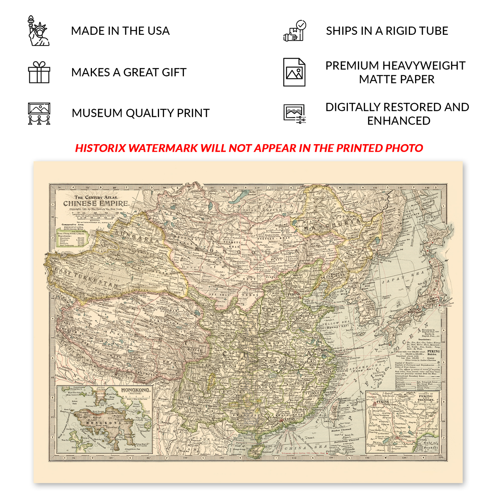
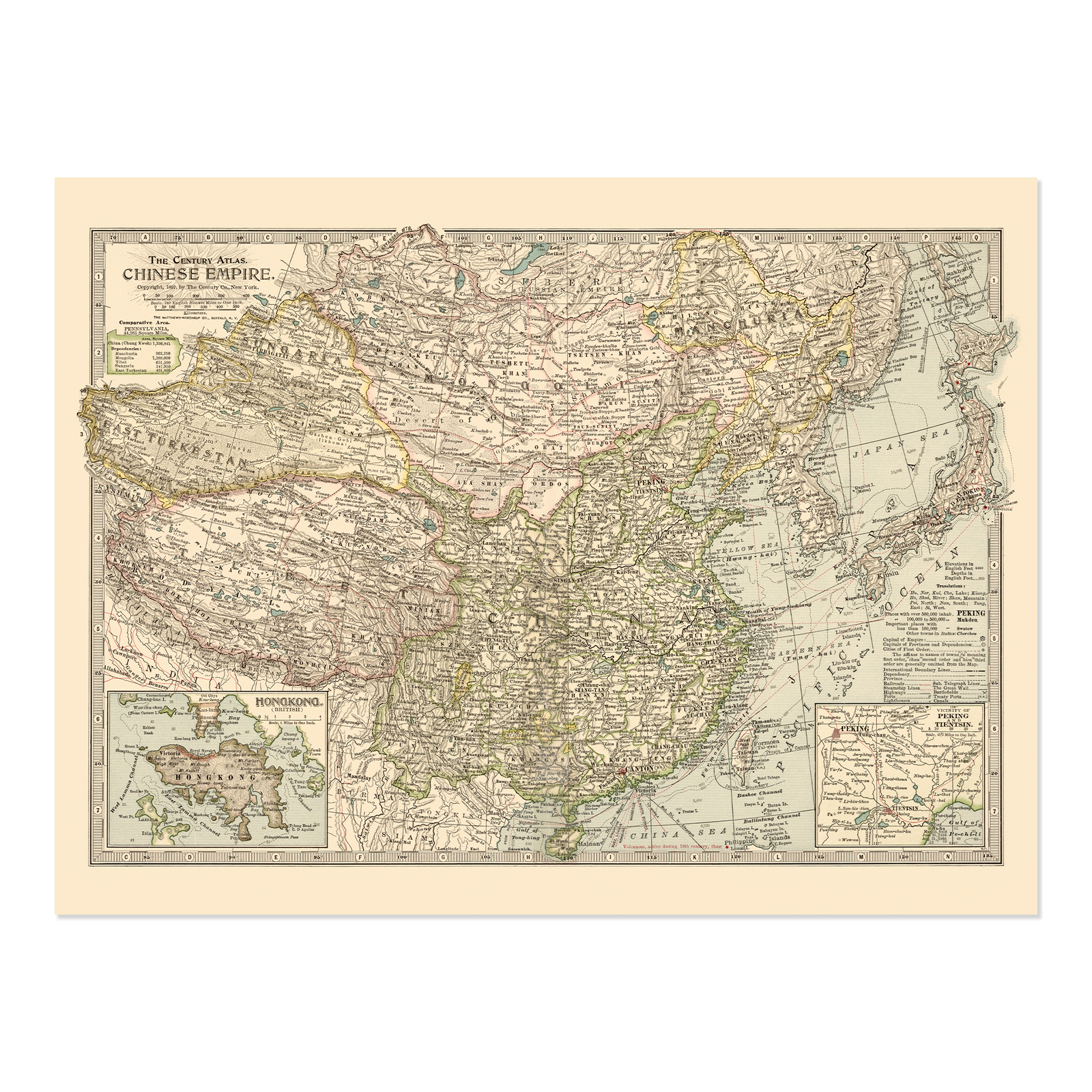
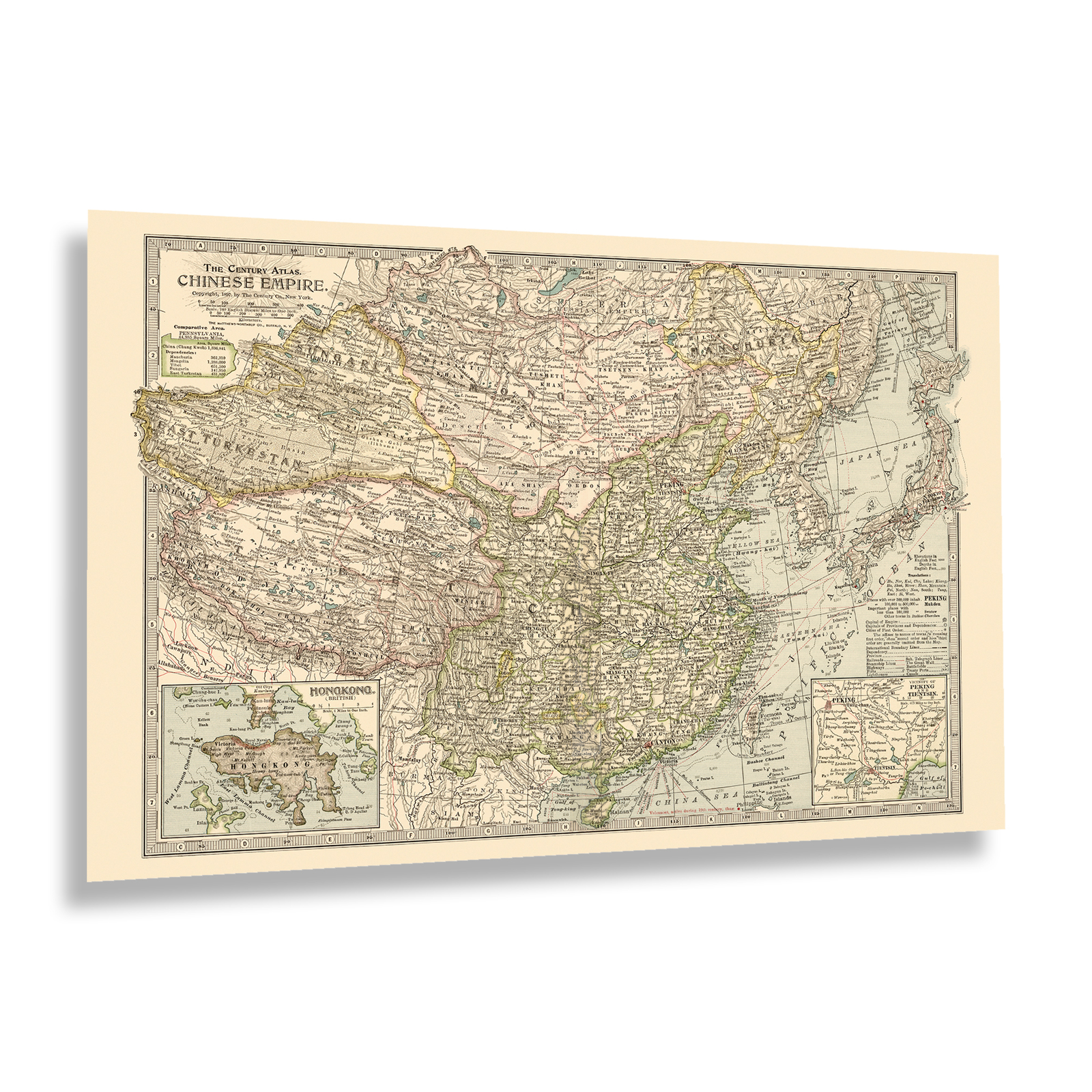
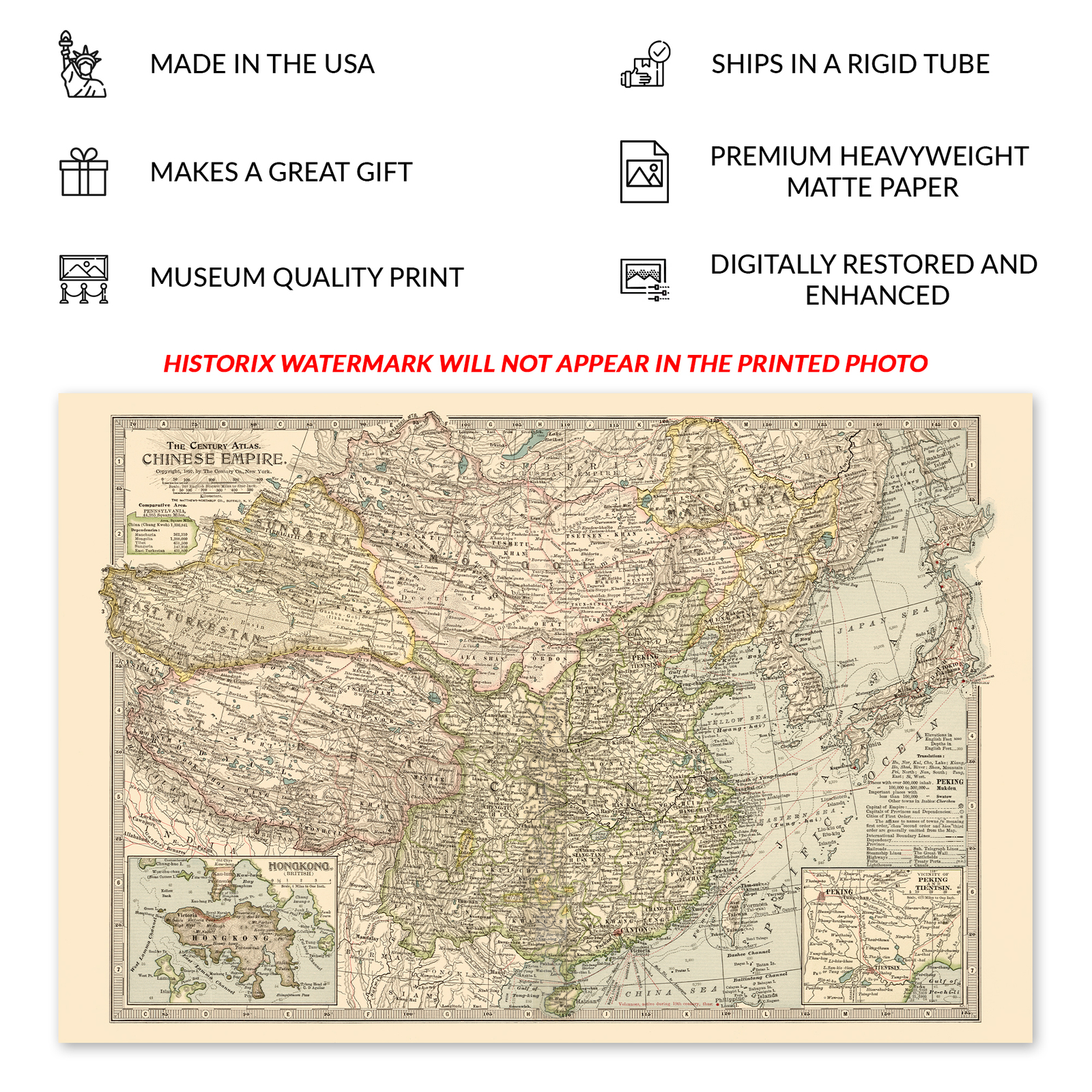
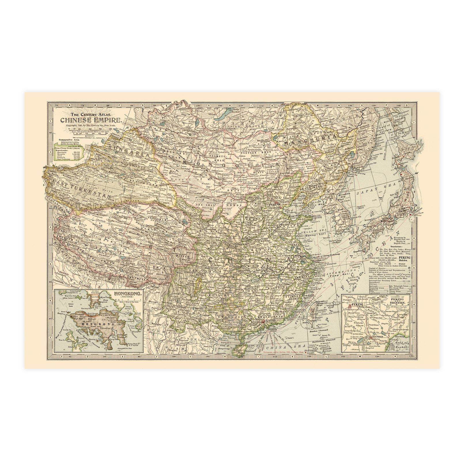
* VINTAGE MAP REPRODUCTION: You'll love this high quality historic reproduction of 1897 The Century Atlas Chinese Empire Map Print. Our museum quality prints are archival grade, which means it will look great and last without fading for over 100 years. Our print to order maps are made in the USA and each map is inspected for quality. This beautiful artwork is a perfect addition to your themed decor. Vintage maps look great in the home, study or office. They make a perfect gift as well.
* MUSEUM QUALITY: This high quality map print will be a great addition to your vintage-themed wall. Don't waste money on cheap-looking, thin paper posters. We use thick, fine art print quality matte paper. Our professional's choice matte paper displays artwork in high detail without glare. The color is vibrant and text is easy to read. When framed, this map looks absolutely stunning.
* A LOOK BACK AT HISTORY: This is an impressive, historic reproduction of 1897 Chinese Empire History Map A true piece of history. See our product description section for more fascinating information about this historic map and its significance.
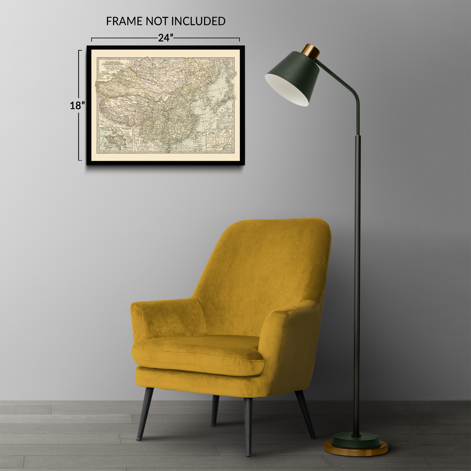
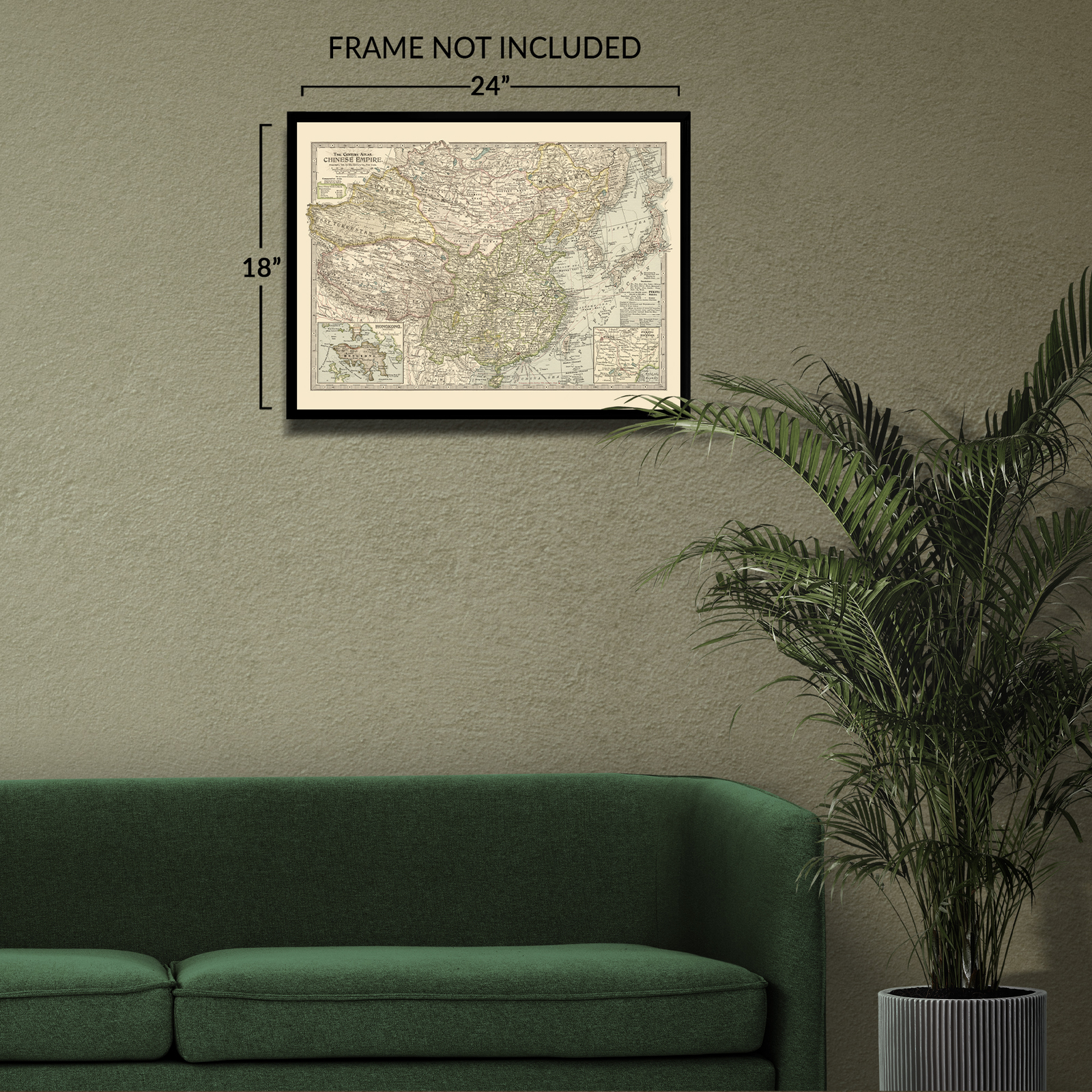
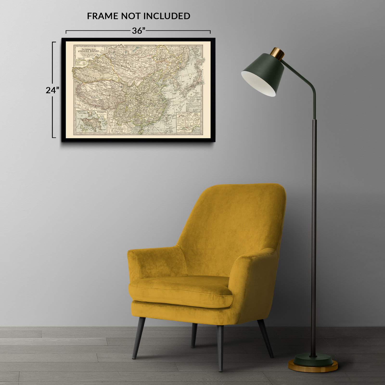
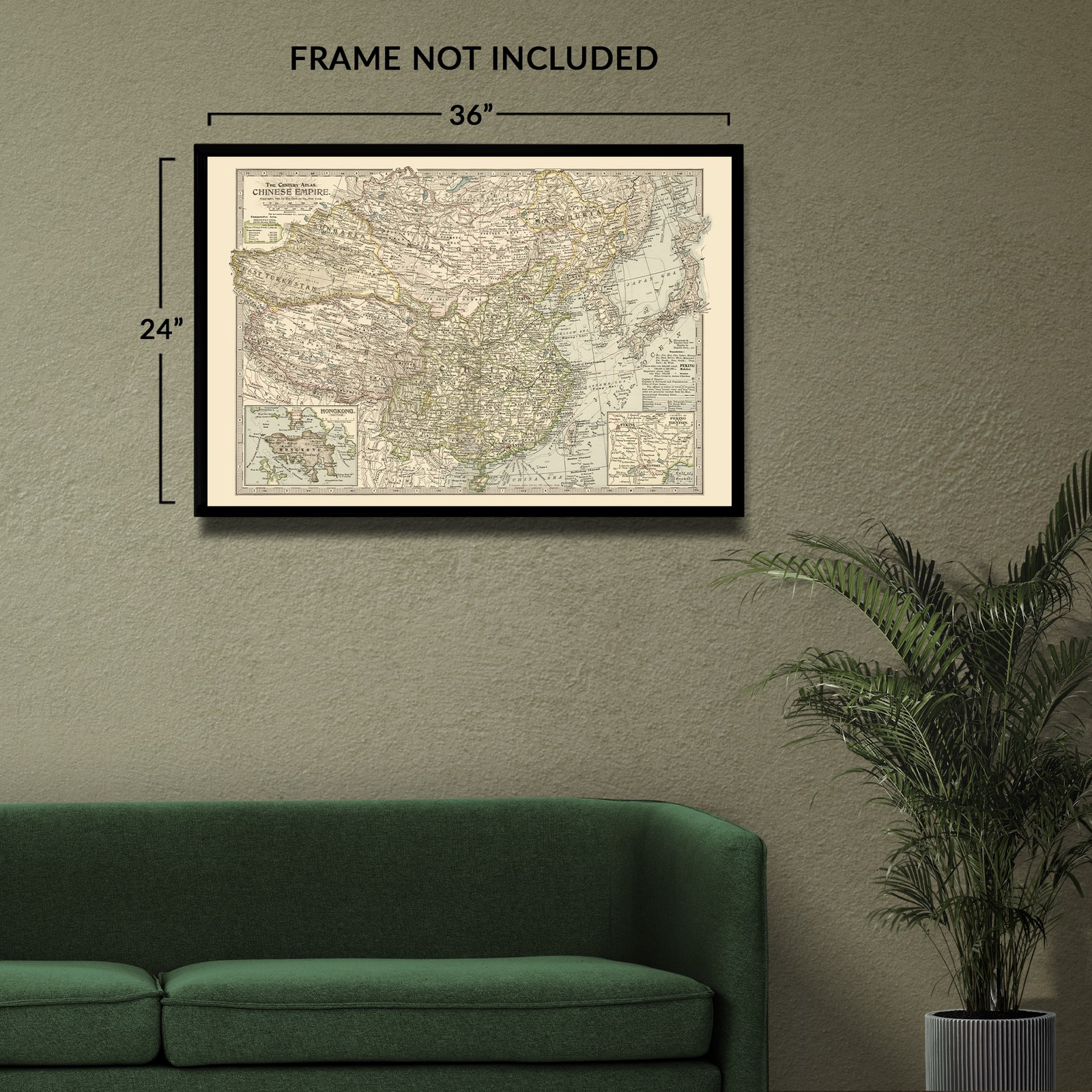
* READY TO FRAME: This print includes a 0.2 inch border for a perfect frame fit and look. Our maps are designed to fit easy-to-find standard frame sizes, saving you money from having to pay for a custom frame. Each map is inspected for quality and shipped in a rigid tube.
* HISTORIX: We love history and art. Sometimes old maps have tears, folds, separations and other blemishes. We digitally restore and enhance maps while keeping its historical character. All our maps are proudly made in the USA. Customers all over the world love our vintage maps and we know you will too.
Additional Information
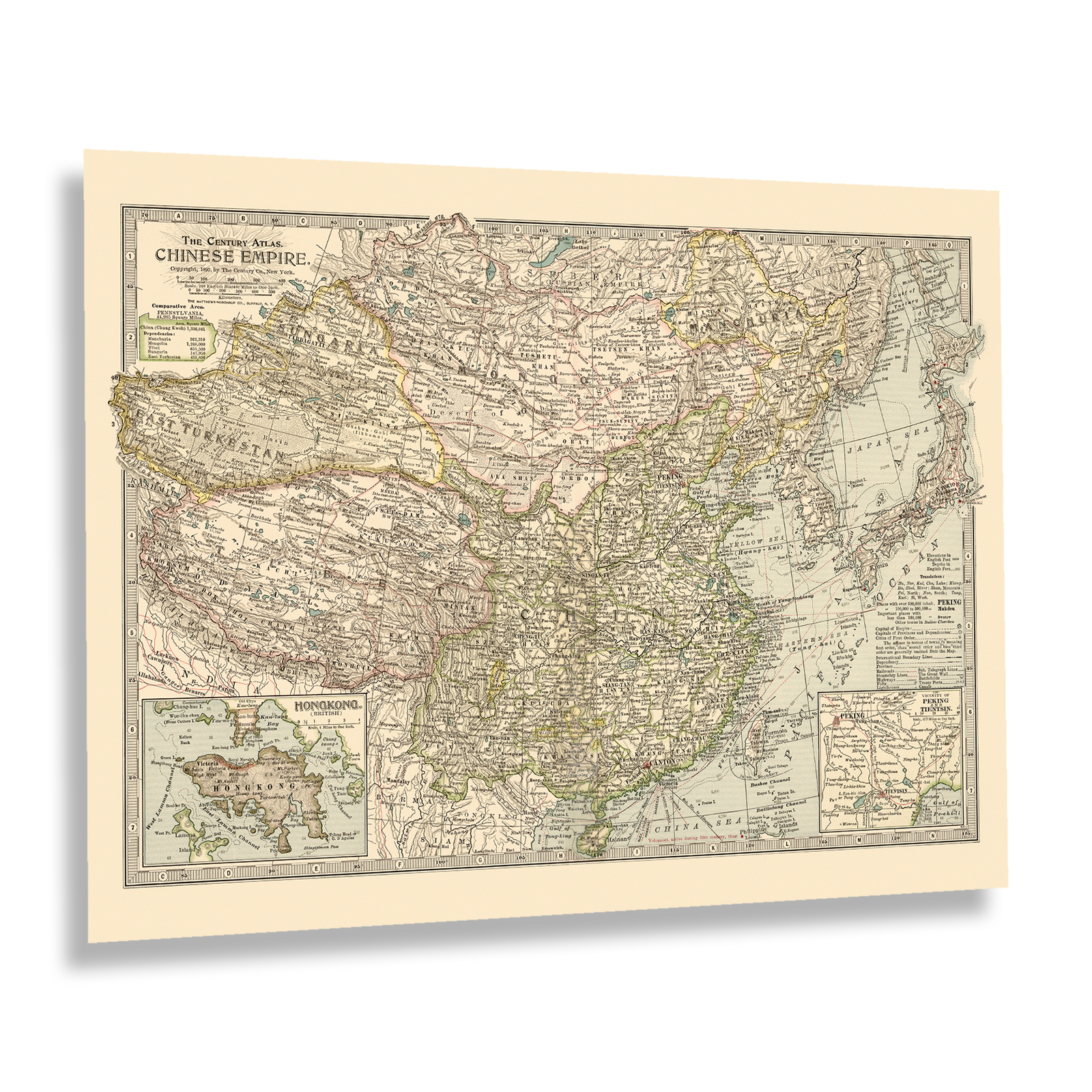
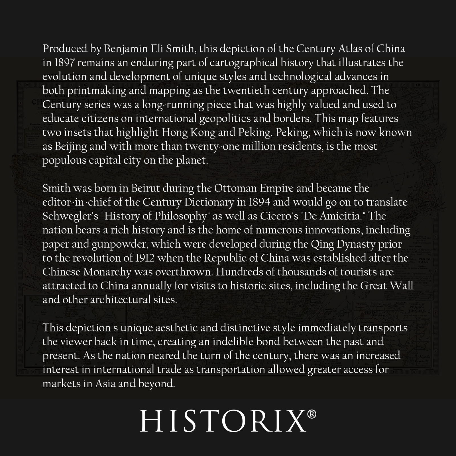
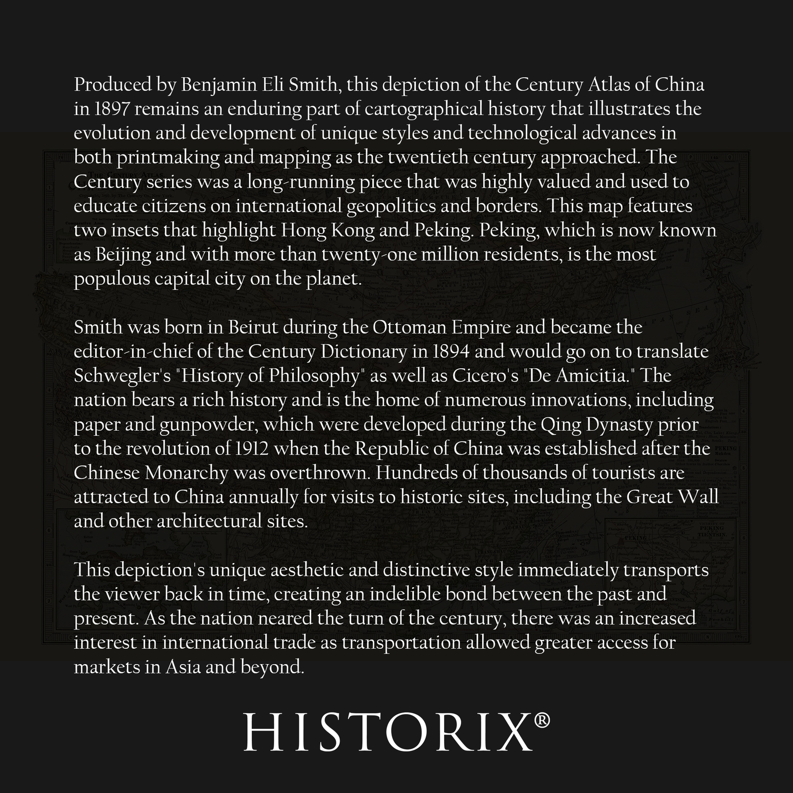
Produced by Benjamin Eli Smith, this depiction of the Century Atlas of China in 1897 remains an enduring part of cartographical history that illustrates the evolution and development of unique styles and technological advances in both printmaking and mapping as the twentieth century approached. The Century series was a long-running piece that was highly valued and used to educate citizens on international geopolitics and borders. This map features two insets that highlight Hong Kong and Peking. Peking, which is now known as Beijing and with more than twenty-one million residents, is the most populous capital city on the planet.
Smith was born in Beirut during the Ottoman Empire and became the editor-in-chief of the Century Dictionary in 1894 and would go on to translate Schwegler's "History of Philosophy" as well as Cicero's "De Amicitia." The nation bears a rich history and is the home of numerous innovations, including paper and gunpowder, which were developed during the Qing Dynasty prior to the revolution of 1912 when the Republic of China was established after the Chinese Monarchy was overthrown. Hundreds of thousands of tourists are attracted to China annually for visits to historic sites, including the Great Wall and other architectural sites.
This depiction's unique aesthetic and distinctive style immediately transports the viewer back in time, creating an indelible bond between the past and present. As the nation neared the turn of the century, there was an increased interest in international trade as transportation allowed greater access for markets in Asia and beyond.