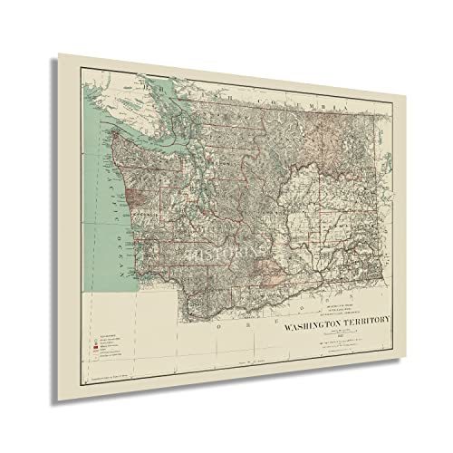
1887 Washington Territory Map - History Map of Washington Territory Wall Art
Shipping options
Seller handling time is 2 business days Details
This reflects the seller's handling time and may not include time spent in transit.
If you have questions about shipping, please contact the seller.
FREE in United States
Return policy
Full refund available for DOAs
Details
- We guarantee our products and offer full refunds or exchange for defective items or items not as-described.
- Buyer must contact us within 30 days after receipt of shipment.
- The item must be received in the same condition as shipped.
- Items must be returned with all original packaging and accessories.
- Items must not be abused, modified or damaged by accident.
- A 20% restocking fee will be charged for returns
- Buyer is responsible for all return shipping and handling fees.
- Restocking and return shipping fees do not apply when item is returned as defective or because incorrect product was delivered.
Payment options
PayPal accepted
PayPal Credit accepted
Venmo accepted
PayPal, MasterCard, Visa, Discover, and American Express accepted
Maestro accepted
Amazon Pay accepted
Nuvei accepted
Item traits
| Category: |
Art Prints
|
| Quantity Available: |
16 in stock
|
| Condition: |
New
|
| Subject: |
Maps
|
| Style: |
Vintage
|
| Type: |
Wall Art
|
| Features: |
Museum Quality
|
| Theme: |
Vintage
|
| Artist: |
Various
|
| Region of Origin: |
Made in the USA
|
| Brand: |
HISTORIX
|
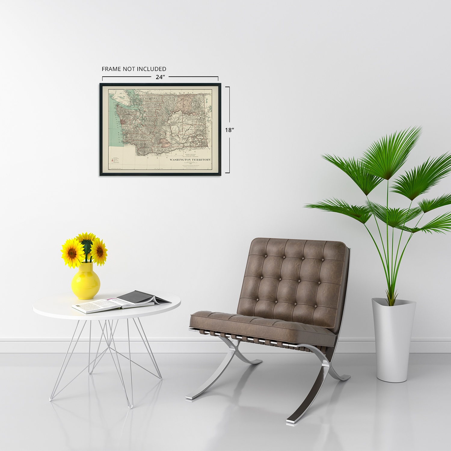
| Sizes: |
View details
18x24 Inch (8 in stock)
24x36 Inch (8 in stock)
|
Listing details
|
Seller policies:
|
View seller policies
|
|
Shipping discount:
|
Seller pays shipping for this item.
|
|
Posted for sale:
|
More than a week ago
|
|
Item number:
|
1738795326
|
Feature Points
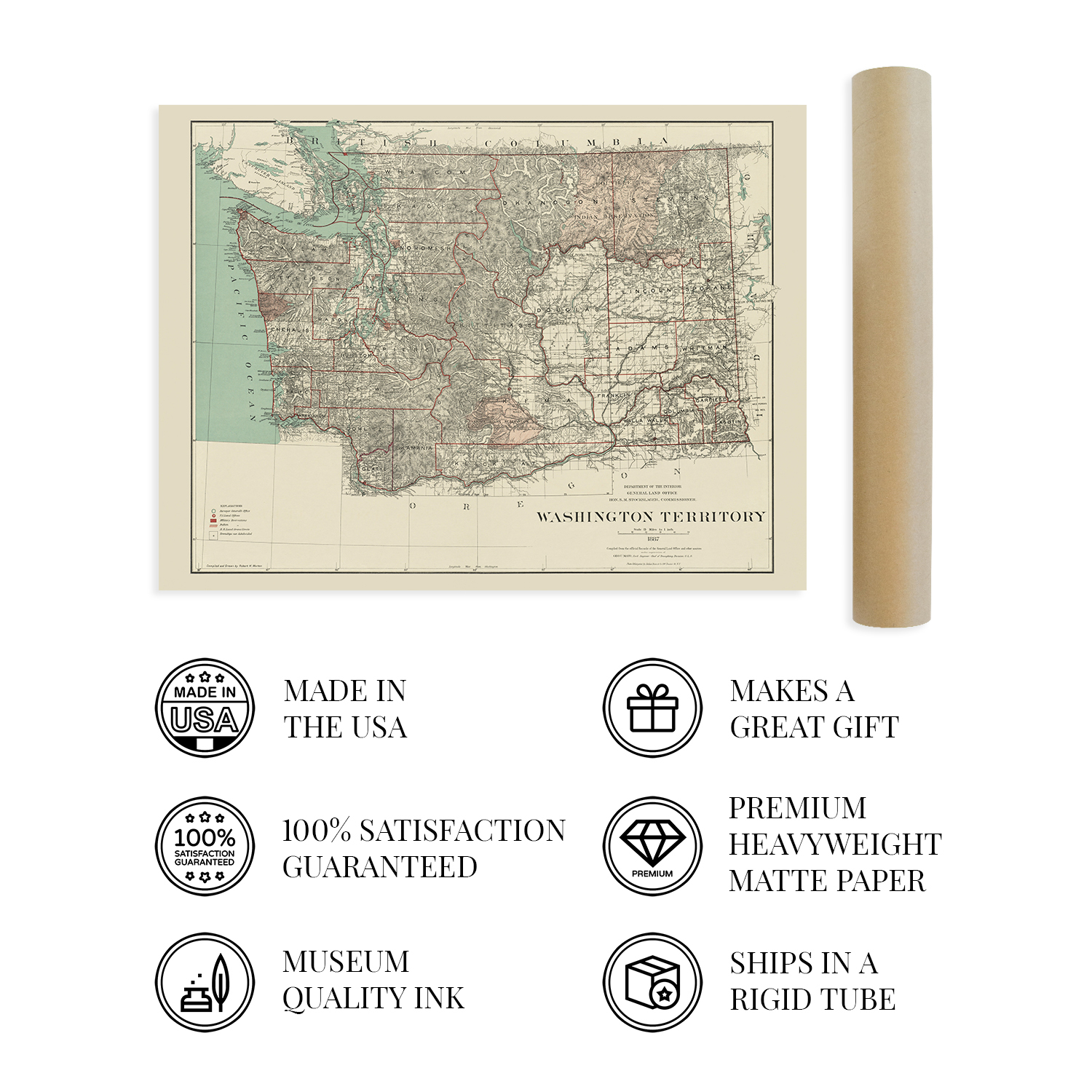
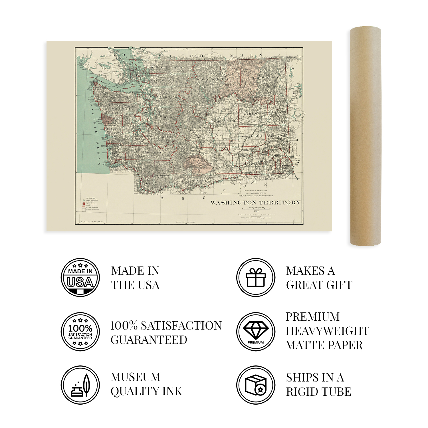
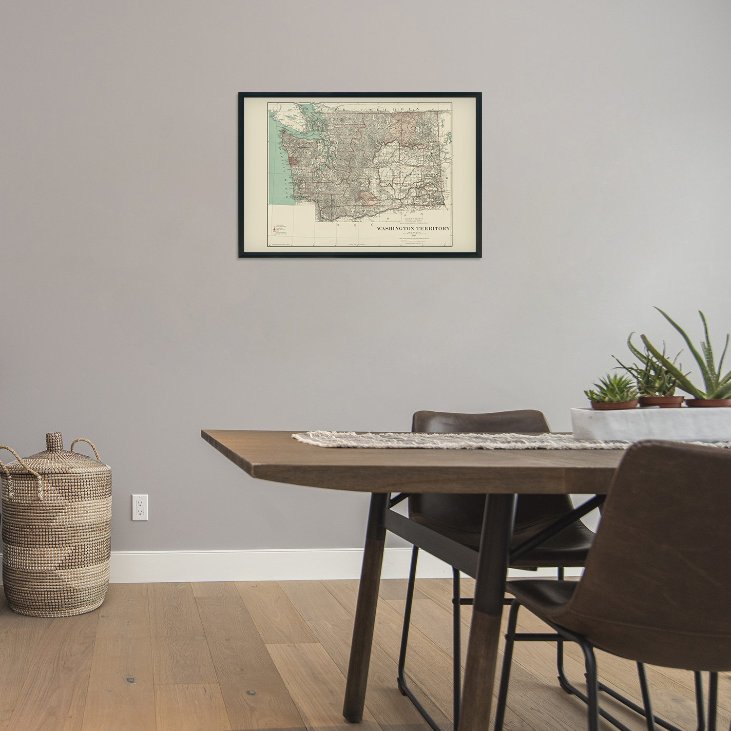
VINTAGE MAP REPRODUCTION: You?ll love this high quality historic reproduction of 1887 Washington Territory Map. Our museum quality prints are archival grade, which means it will look great and last without fading for over 100 years. Our print to order maps are made in the USA and each map is inspected for quality. This beautiful artwork is a perfect addition to your themed decor. Vintage maps look great in the home, study or office. They make a perfect gift as well.
MUSEUM QUALITY: This high quality map print will be a great addition to your vintage-themed wall. Don't waste money on cheap-looking, thin paper posters. We use thick, fine art print quality matte paper. Our professional?s choice matte paper displays artwork in high detail without glare. The color is vibrant and text is easy to read. When framed, this map looks absolutely stunning.
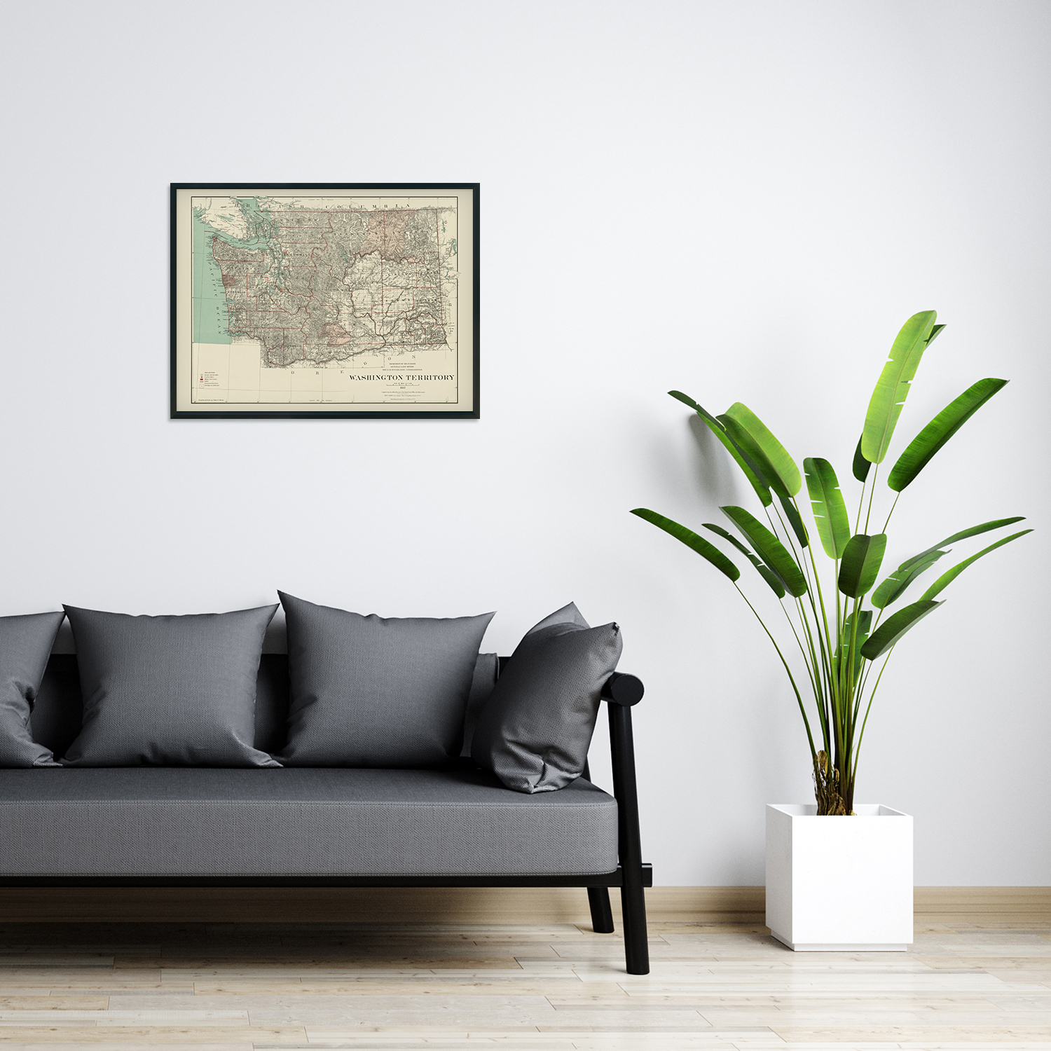
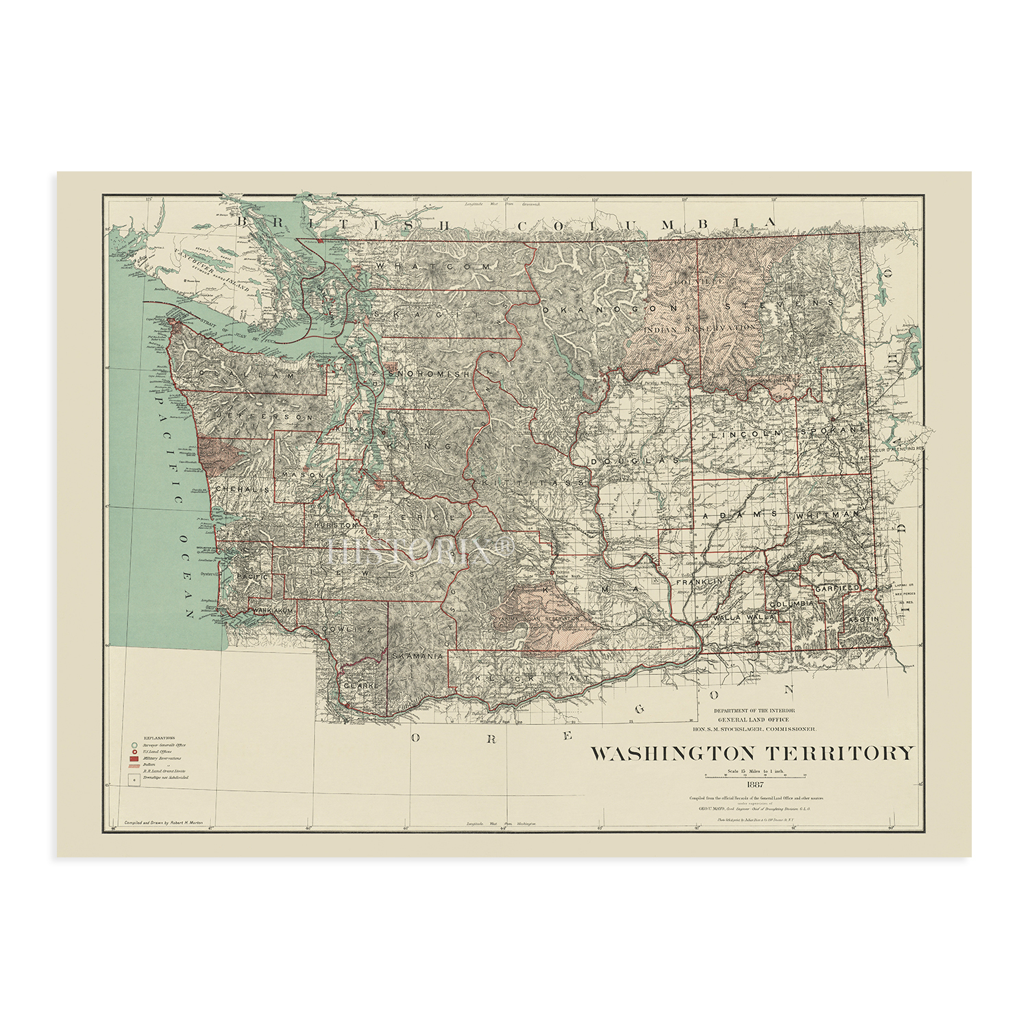
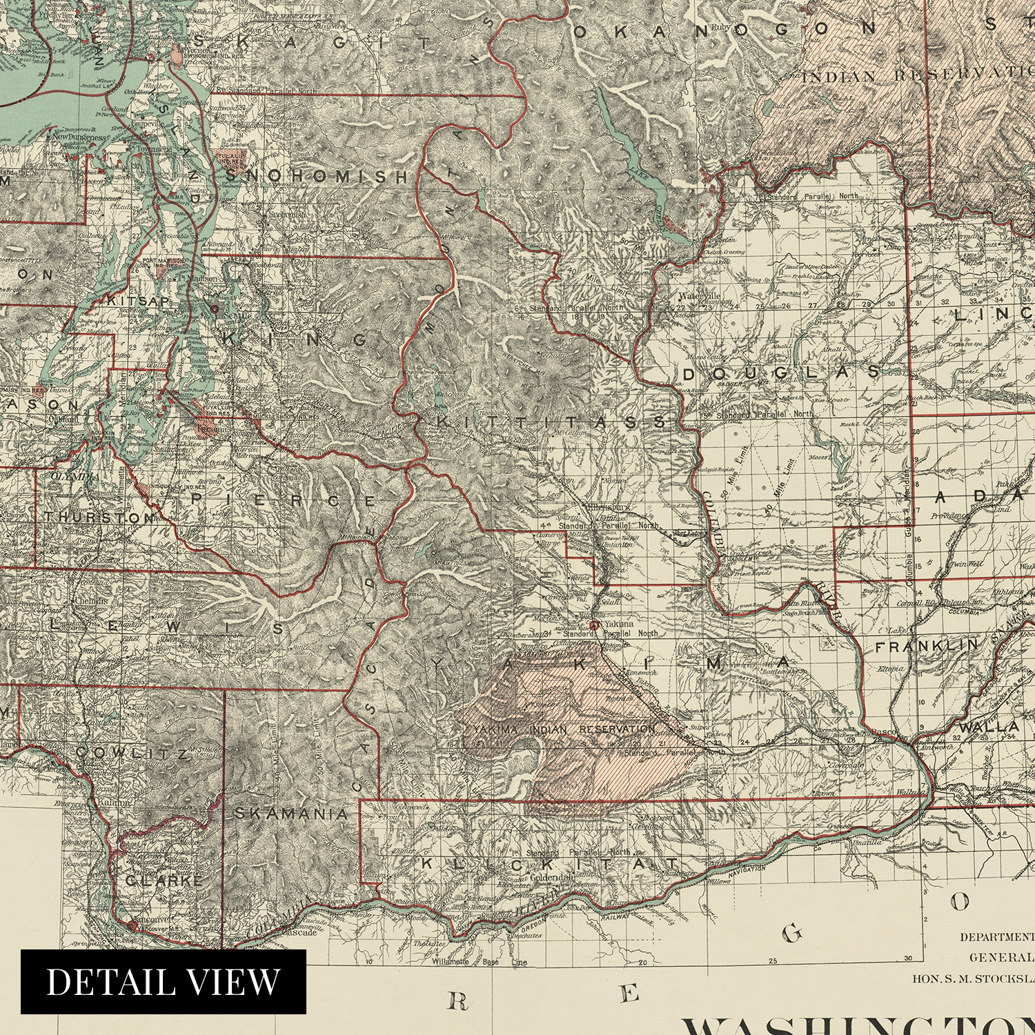
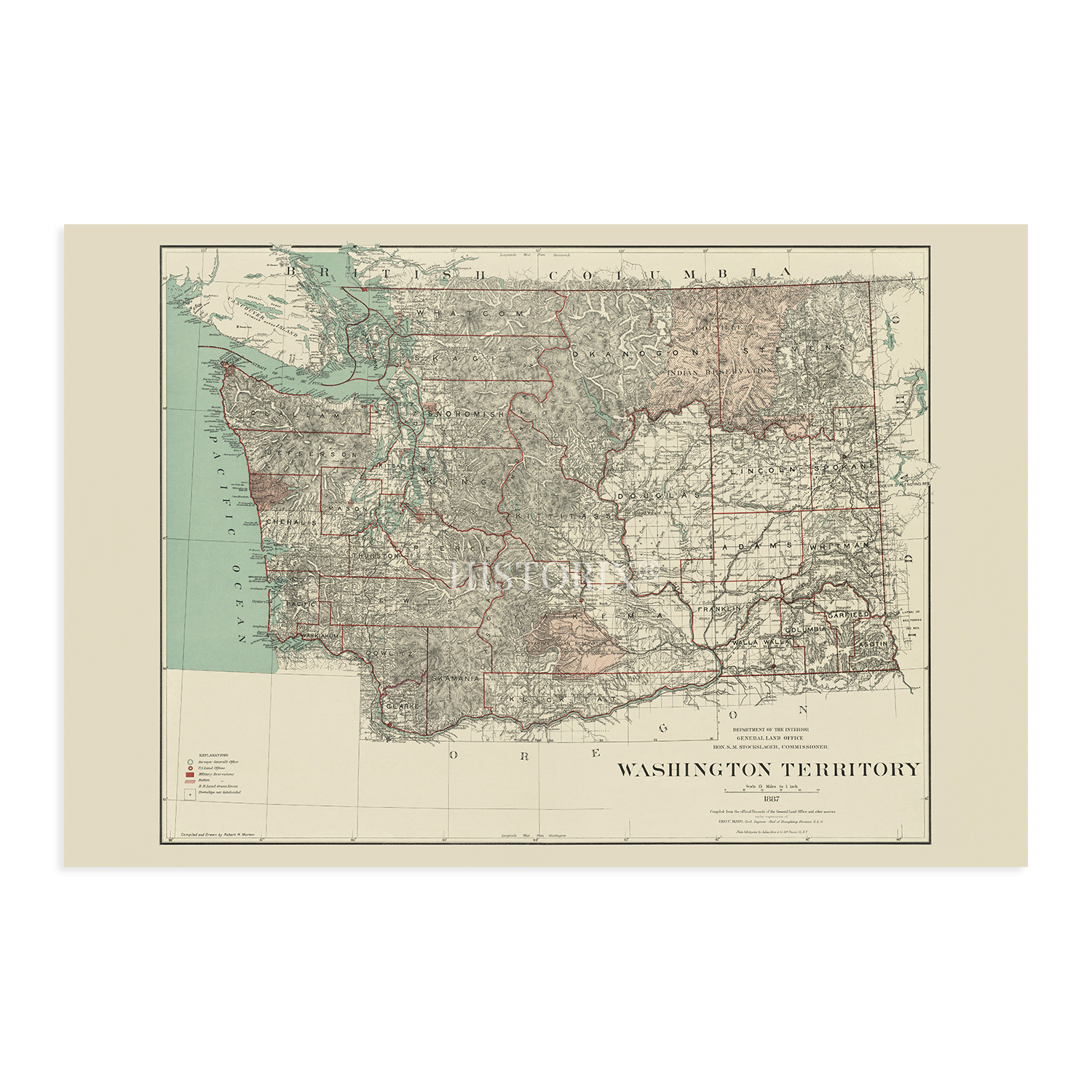
A LOOK BACK AT HISTORY: This is an impressive, historic reproduction of 1887 Washington State Wall Map. A true piece of history. See our product description section for more fascinating information about this historic map and its significance.
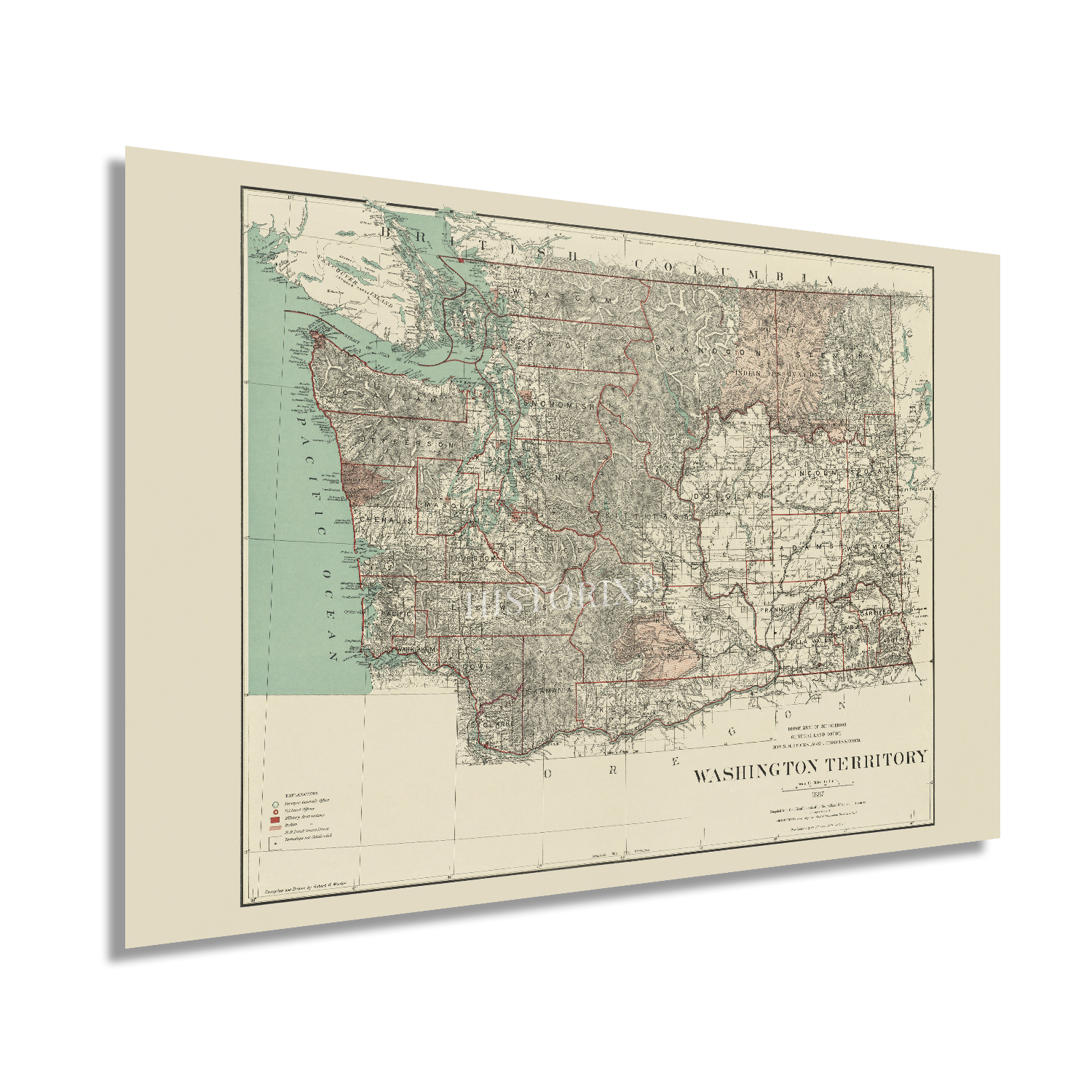
READY TO FRAME: This print includes a 0.2 inch border for a perfect frame fit and look. Our maps are designed to fit easy-to-find standard frame sizes, saving you money from having to pay for a custom frame. Each map is inspected for quality and shipped in a rigid tube.
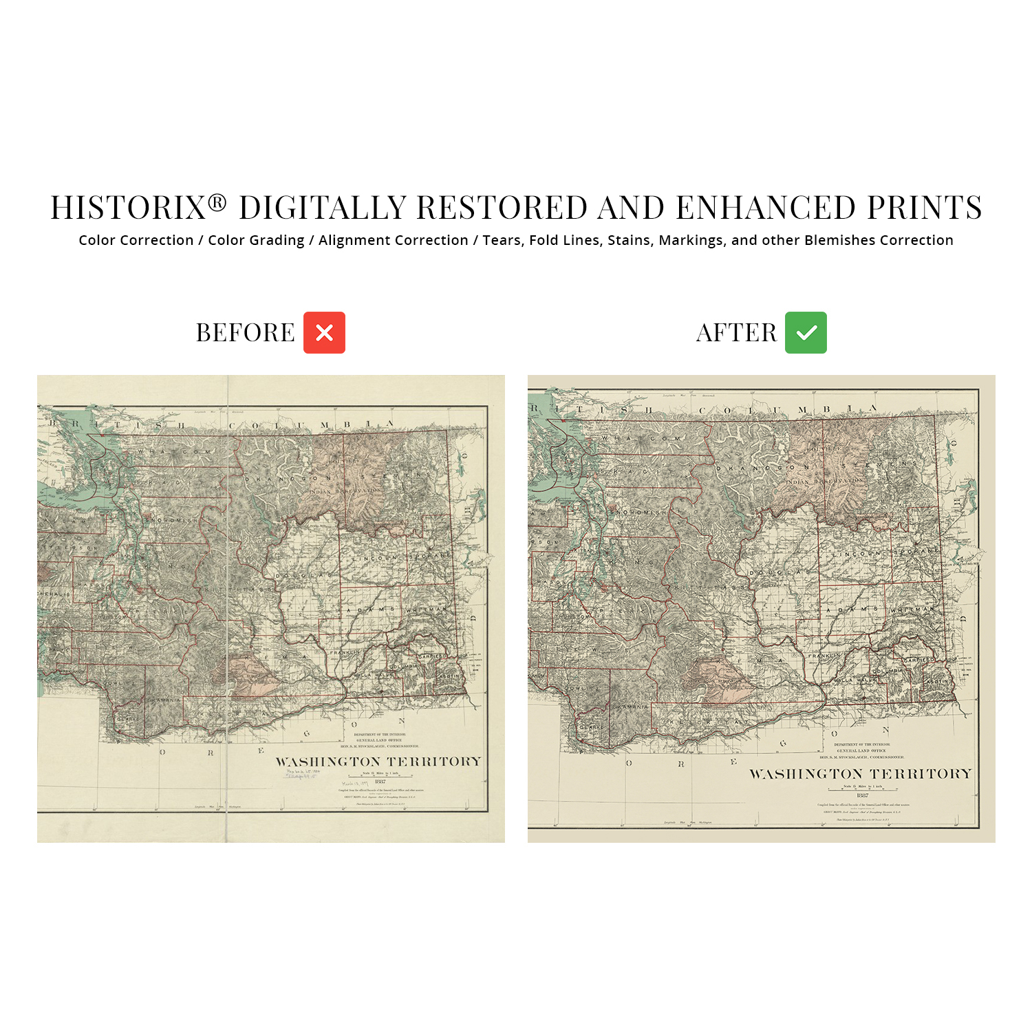
HISTORIX: We love history and art. Sometimes old maps have tears, folds, separations and other blemishes. We digitally restore and enhance maps while keeping its historical character. All our maps are proudly made in the USA. Customers all over the world love our vintage maps and we know you will too.
Additional Information
Published in the decade following the official inclusion of the Washington Territory into the United States, this depiction of the iconic Northwestern region shows it in a period of prosperity, growth, and cultural development. The Territory was first incorporated in 1853 following a dispute over self-governance within the Oregon Territory north of the Columbia River. The original boundary included much of Northern Idaho as well as Montana as far east as the Continental Divide. Following Oregon officially becoming a state in 1859, portions of Southern Idaho and Wyoming were annexed into the Washington Territory.
The latter portions of the nineteenth century saw a prosperous logging industry throughout the Northwest and Washington, which was preceded by a thriving mining industry spurred by the discovery of gold in San Francisco and British Columbia. The gold rush saw populations boom overnight as small towns became the entry point for the Canadian hills. Settlements in the Eastern portion of the Territory focused on Walla Walla, which attracted settlers who established numerous farms in the valley's fertile land. The Fort Nez trading post had been founded in 1818 as a thriving fur trading outpost.
The current US-Canada border was officially established in 1846 when Great Britain ceded their lands south of the 49th parallel in the Oregon Treaty. This map's classic style and distinctive aesthetic distinguish it from more modern depictions of the region. This is an authentic piece of American cartographical history.
Our museum quality giclee print comes printed with archival ink on premium heavyweight matte paper. Shipped in a sturdy cardboard tube your print will arrive ready to be framed. This eye-catching vintage map reproduction print makes the perfect gift for anyone that loves history and imagery.