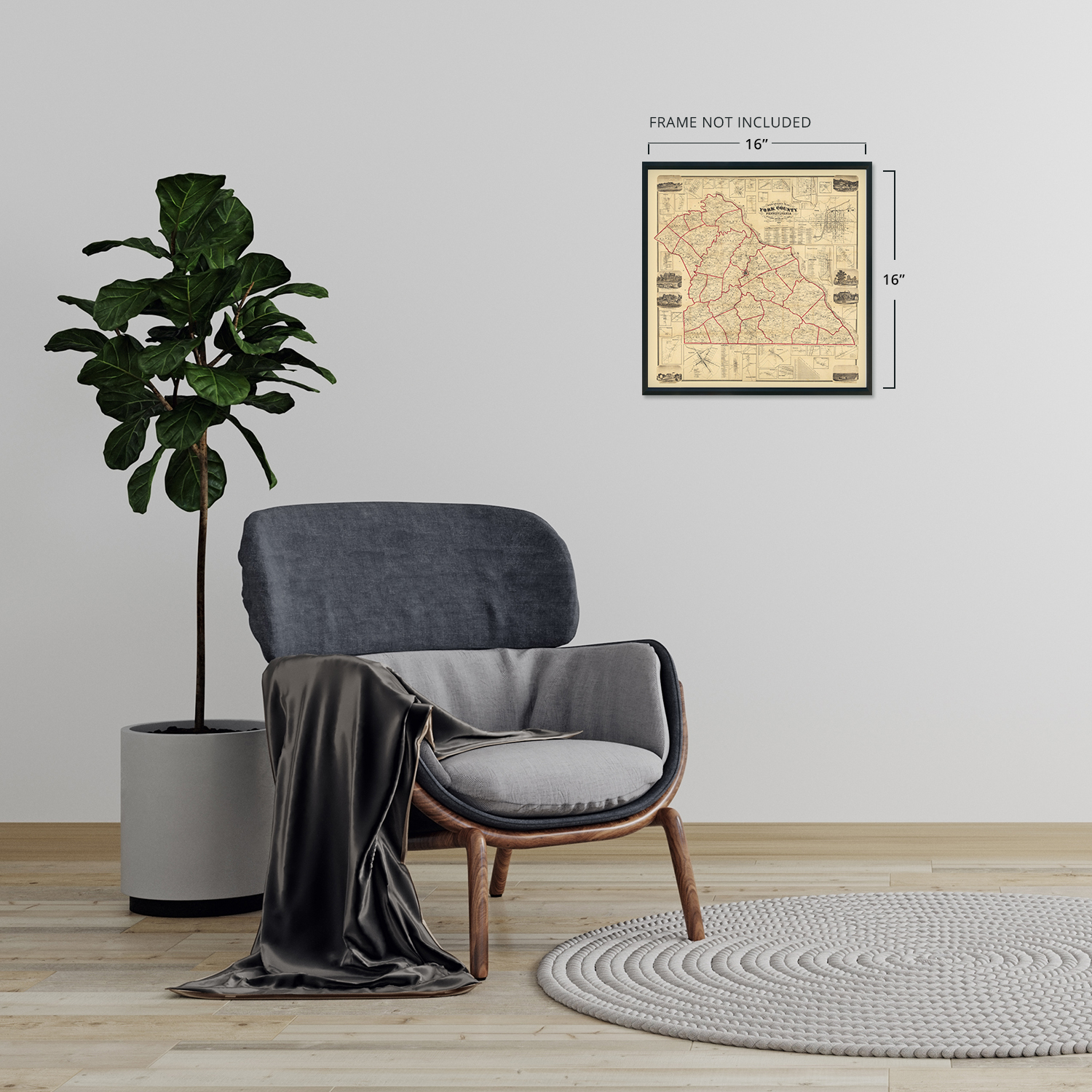
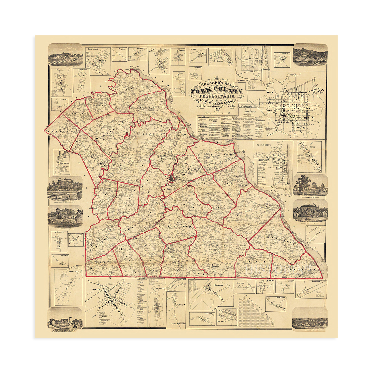
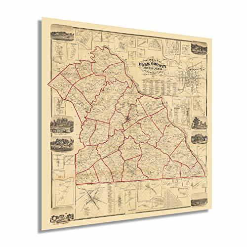
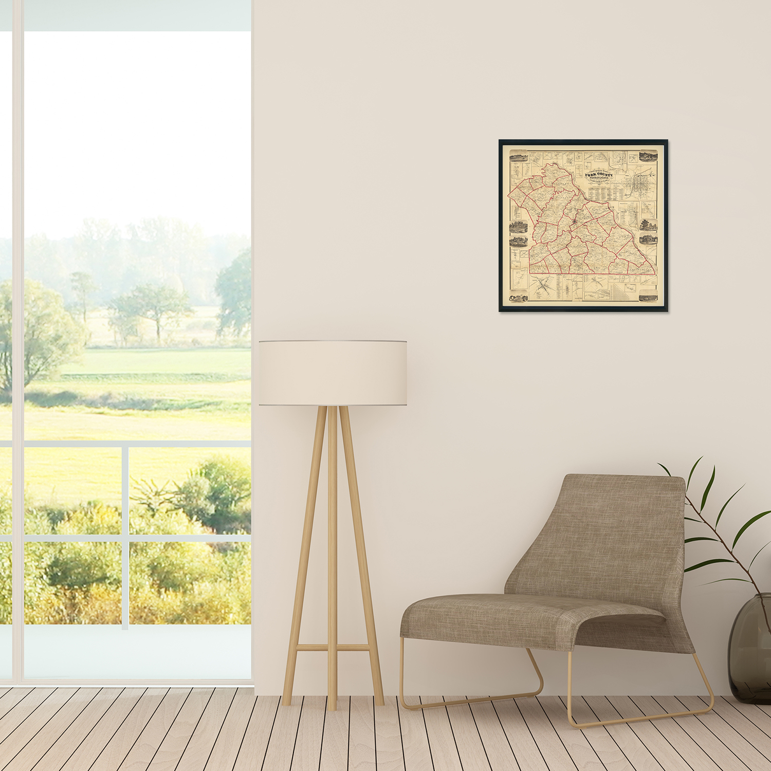
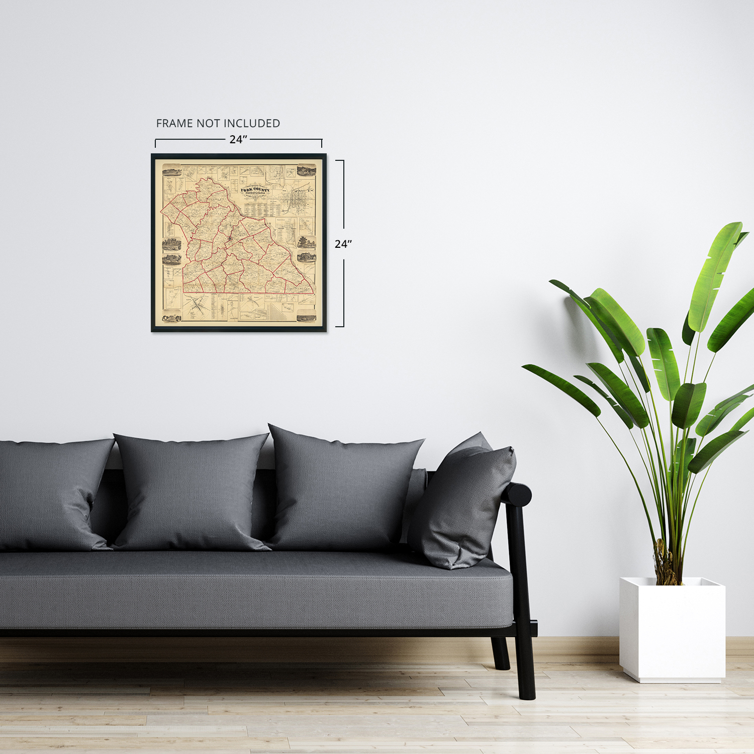
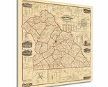
1860 York County Pennsylvania Map - Old Map of York County PA Wall Art Poster
Shipping options
Seller handling time is 2 business days Details
This reflects the seller's handling time and may not include time spent in transit.
If you have questions about shipping, please contact the seller.
FREE in United States
Return policy
Full refund available for DOAs
Details
- We guarantee our products and offer full refunds or exchange for defective items or items not as-described.
- Buyer must contact us within 30 days after receipt of shipment.
- The item must be received in the same condition as shipped.
- Items must be returned with all original packaging and accessories.
- Items must not be abused, modified or damaged by accident.
- A 20% restocking fee will be charged for returns
- Buyer is responsible for all return shipping and handling fees.
- Restocking and return shipping fees do not apply when item is returned as defective or because incorrect product was delivered.
Payment options
PayPal accepted
PayPal Credit accepted
Venmo accepted
PayPal, MasterCard, Visa, Discover, and American Express accepted
Maestro accepted
Amazon Pay accepted
Nuvei accepted
Item traits
| Category: |
Art Prints
|
| Quantity Available: |
15 in stock
|
| Condition: |
New
|
| Subject: |
Maps
|
| Style: |
Vintage
|
| Type: |
Wall Art
|
| Features: |
Museum Quality
|
| Theme: |
History
|
| Artist: |
Various
|
| Region of Origin: |
Made in the USA
|
| Framing: |
Unframed
|
| Brand: |
HISTORIX
|
| Sizes: |
View details
16x16 Inch (8 in stock)
24x24 Inch (7 in stock)
|
Listing details
|
Seller policies:
|
View seller policies
|
|
Shipping discount:
|
Seller pays shipping for this item.
|
|
Posted for sale:
|
More than a week ago
|
|
Item number:
|
1738795732
|
Feature Points
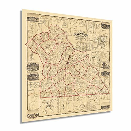
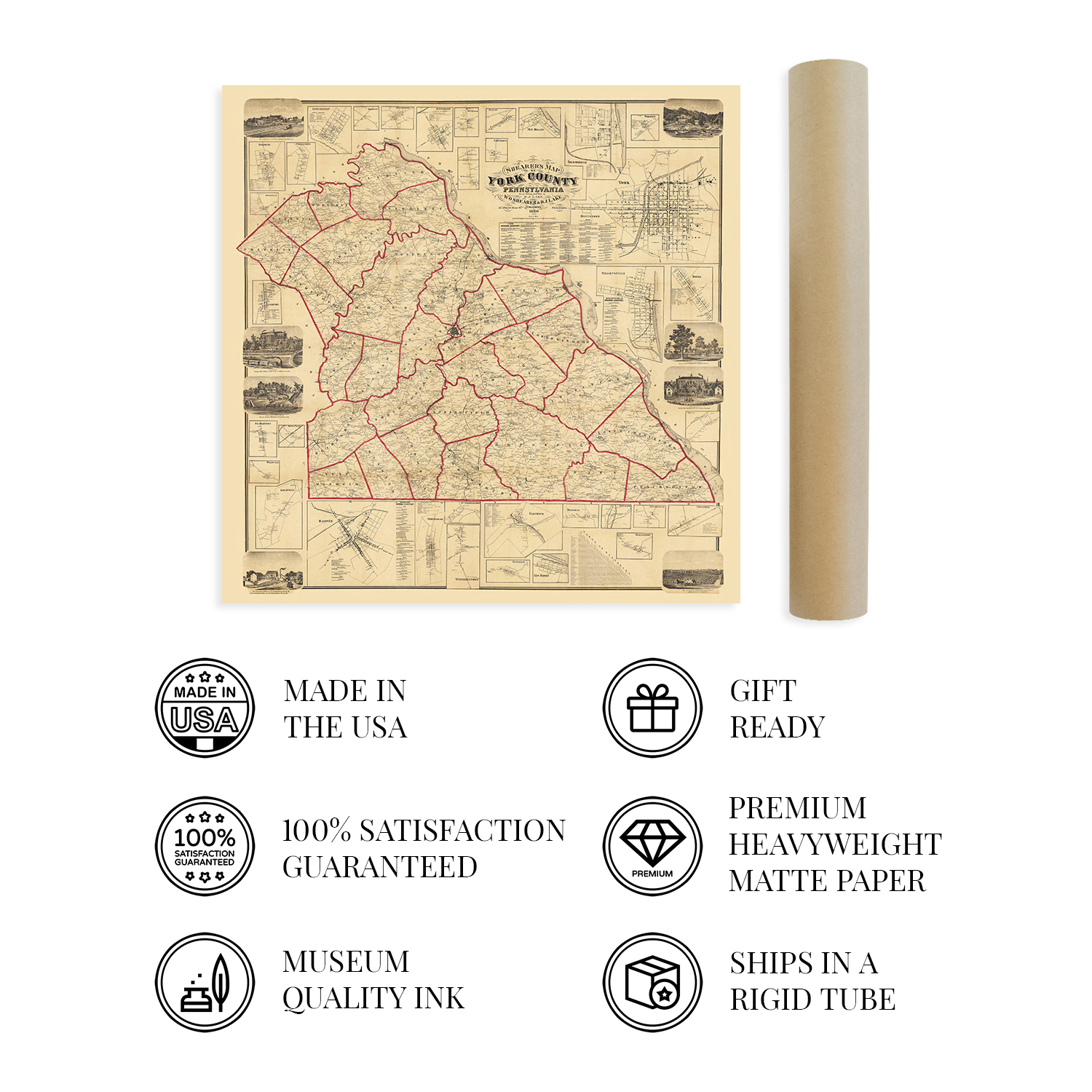
VINTAGE MAP REPRODUCTION: You?ll love this high quality historic reproduction of 1860 York Pennsylvania Map. Our museum quality maps are archival grade, which means it will look great and last without fading for over 100 years. Our print to order maps are made in the USA and each map is inspected for quality. This beautiful artwork is a perfect addition to your themed decor. Vintage maps look great in the home, study or office. They make a perfect gift as well.
MUSEUM QUALITY: This high quality map print will be a great addition to your vintage-themed wall. Don't waste money on cheap-looking, thin paper posters. We use thick, fine art print quality matte paper. Our professional?s choice matte paper displays artwork in high detail without glare. The color is vibrant and text is easy to read. When framed, this map looks absolutely stunning.
A LOOK BACK AT HISTORY: This is an impressive, historic reproduction of 1860 York County PA Map. A true piece of history. See our product description section for more fascinating information about this historic map and its significance.
READY TO FRAME: This print includes a 0.2 inch border for a perfect frame fit and look. Our maps are designed to fit easy-to-find standard frame sizes, saving you money from having to pay for a custom frame. Each map is inspected for quality and shipped in a rigid tube.
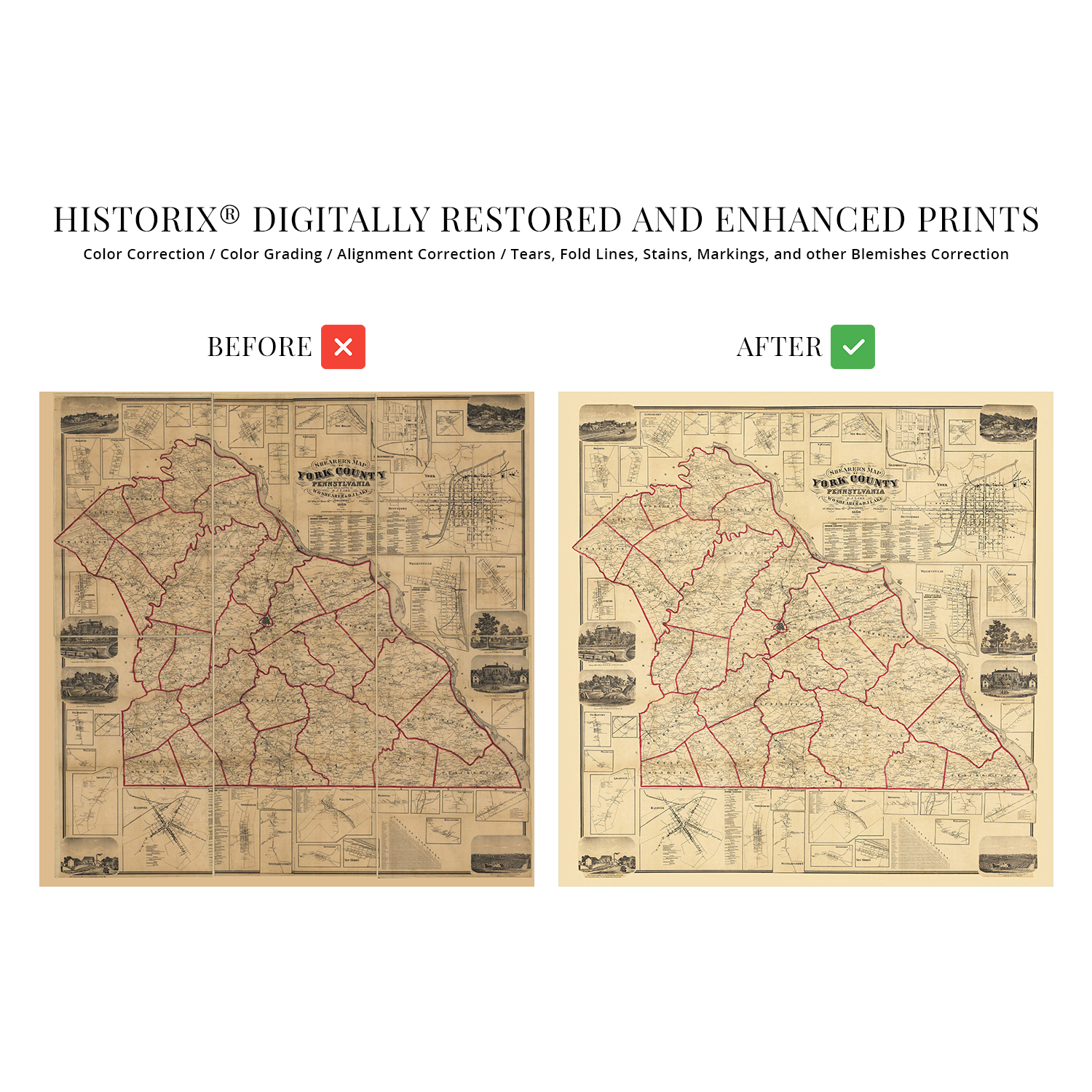
HISTORIX: We love history and art. Sometimes old maps have tears, folds, separations and other blemishes. We digitally restore and enhance maps while keeping its historical character. All our maps are proudly made in the USA. Customers all over the world love our vintage maps and we know you will too.
Additional Information
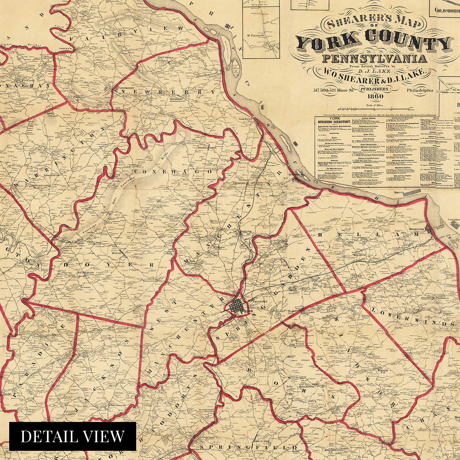
York County was first settled in 1749, and by the middle of the nineteenth century, the eponymous county seat was one of the most populous regions in the United States. This depiction was published one year prior to the outbreak of the Civil War, in which York became the northernmost town to be captured and occupied by Confederate forces. In the years following the conclusion of the conflict York would enjoy a period of economic prosperity as it became an industrial center with steam and railroad manufacturing as well as paper mills attracting residents and merchants alike.
York was the United States' first Capital after the Revolutionary War ended and had been the birthplace of the first Articles of Confederation, the first document uniting the original thirteen colonies, in 1777. This depiction contains an enormous amount of information and incredible detail with the inset illustrations of notable buildings and civic features. Hand-colored lines give this a unique character; the distinctive style and crisp aesthetic immediately transport the viewer back in time, creating an indelible link between the past and present. The surveys used to compile this map were conducted by hand and are remarkably accurate for the period.
York County was in a period of significant growth and transformation in 1860 as immigrants from across Western Europe, Ireland, and Denmark flocked to the region for work in both industrial centers as well as to establish farms in the area's rich soil. This is a genuine piece of American cartographical history.
Our museum quality giclee print comes printed with archival ink on premium heavyweight matte paper. Shipped in a sturdy cardboard tube your print will arrive ready to be framed. This eye-catching vintage map reproduction print makes the perfect gift for anyone that loves history and imagery.