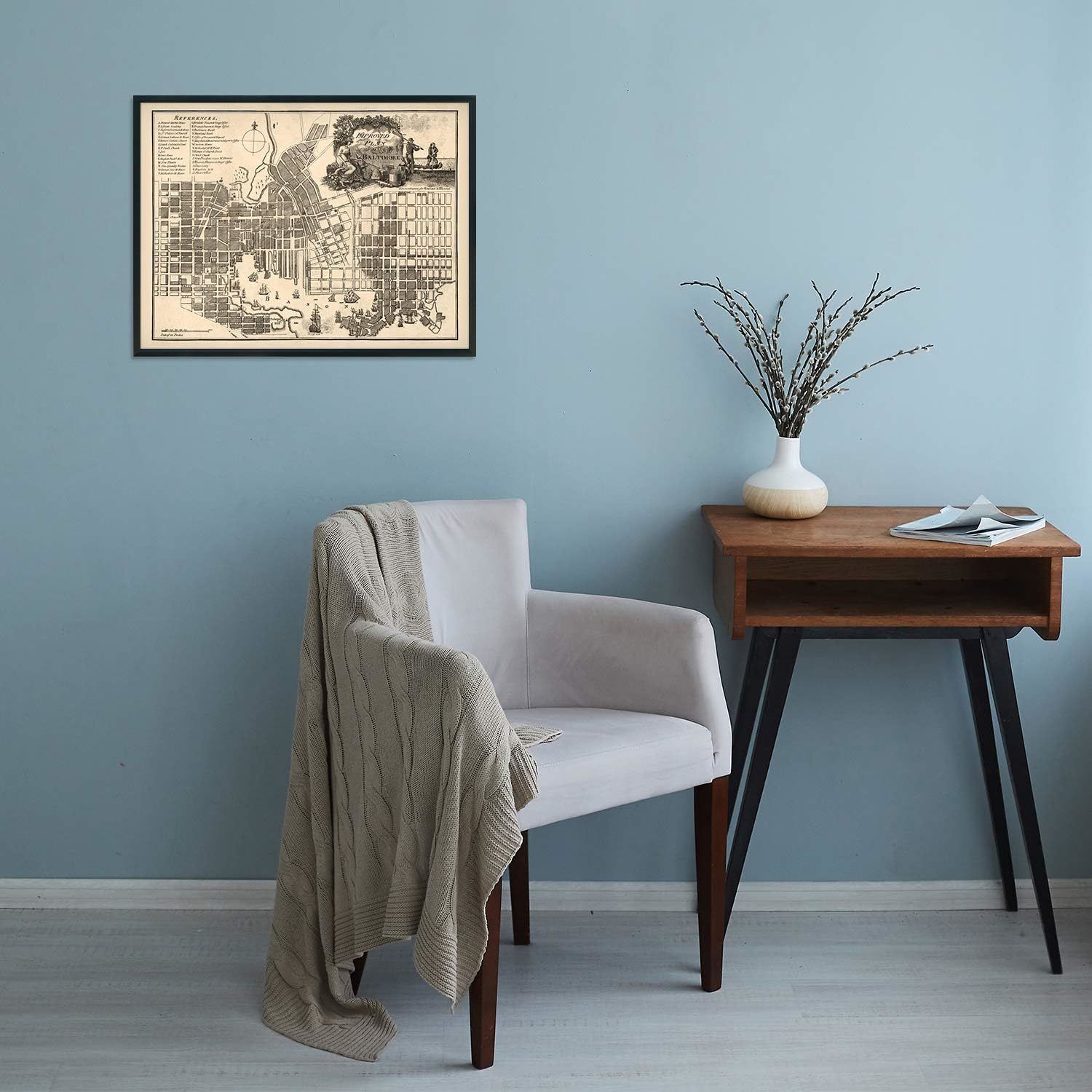
1804 Baltimore Map Poster - Vintage Plan of the City of Baltimore MD Wall Art
Shipping options
Seller handling time is 2 business days Details
This reflects the seller's handling time and may not include time spent in transit.
If you have questions about shipping, please contact the seller.
FREE in United States
Return policy
Full refund available for DOAs
Details
- We guarantee our products and offer full refunds or exchange for defective items or items not as-described.
- Buyer must contact us within 30 days after receipt of shipment.
- The item must be received in the same condition as shipped.
- Items must be returned with all original packaging and accessories.
- Items must not be abused, modified or damaged by accident.
- A 20% restocking fee will be charged for returns
- Buyer is responsible for all return shipping and handling fees.
- Restocking and return shipping fees do not apply when item is returned as defective or because incorrect product was delivered.
Payment options
PayPal accepted
PayPal Credit accepted
Venmo accepted
PayPal, MasterCard, Visa, Discover, and American Express accepted
Maestro accepted
Amazon Pay accepted
Nuvei accepted
Item traits
| Category: |
Art Prints
|
| Quantity Available: |
16 in stock
|
| Condition: |
New
|
| Subject: |
Maps
|
| Style: |
Vintage
|
| Type: |
Wall Art
|
| Features: |
Museum Quality
|
| Theme: |
History
|
| Artist: |
Various
|
| Region of Origin: |
Made in the USA
|
| Framing: |
Unframed
|
| Brand: |
HISTORIX
|
| Sizes: |
View details
18x24 Inch (8 in stock)
24x36 Inch (8 in stock)
|
Listing details
|
Seller policies:
|
View seller policies
|
|
Shipping discount:
|
Seller pays shipping for this item.
|
|
Posted for sale:
|
More than a week ago
|
|
Item number:
|
1738798271
|
Feature Points
VINTAGE MAP REPRODUCTION: You?ll love this high quality historic reproduction of 1805 Baltimore Map Poster. Our museum quality maps are archival grade, which means it will look great and last without fading for over 100 years. Our print to order maps are made in the USA and each map is inspected for quality. This beautiful artwork is a perfect addition to your themed decor. Vintage maps look great in the home, study or office. They make a perfect gift as well.
MUSEUM QUALITY: This high quality map print will be a great addition to your vintage-themed wall. Don't waste money on cheap-looking, thin paper posters. We use thick, fine art print quality matte paper. Our professional?s choice matte paper displays artwork in high detail without glare. The color is vibrant and the text is easy to read. When framed, this map looks absolutely stunning.
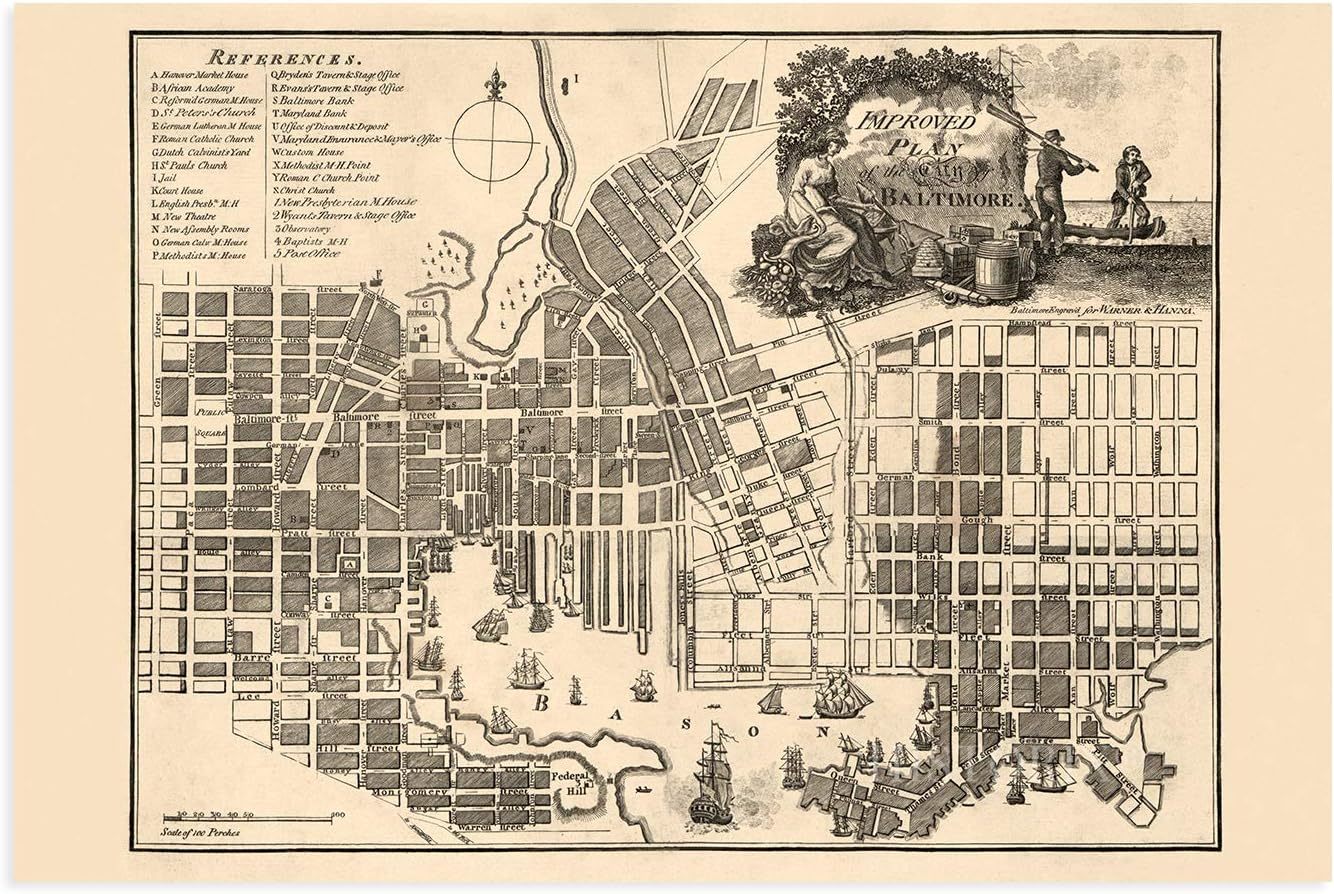
A LOOK BACK AT HISTORY: This is an impressive, historic reproduction of 1805 Baltimore Wall Art. This print is from an original found in the maps and geography division of the US Library of Congress. A true piece of history. See our product description section for more fascinating information about this historic map and its significance.
READY TO FRAME: This print includes a 0.2 inch border for a perfect frame fit and look. Our maps are designed to fit easy-to-find standard frame sizes, saving you money from having to pay for a custom frame. Each map is inspected for quality and shipped in a rigid tube.
HISTORIX: We love history and art. Sometimes old maps have tears, folds, separations and other blemishes. We digitally restore and enhance maps while keeping its historical character. All our maps are proudly made in the USA. Customers all over the world love our vintage maps and we know you will too.
Additional Information
Produced by early American mapmakers Warner Hanna, this rare depiction of Baltimore shows the City in a unique period in its rich history. By 1797 it was the largest American City in what was considered the South at the time, and its population was continuing to expand by this map?s publication in 1804. Baltimore?s economy thrived during the latter portions of the eighteenth century, and it even grew during the Revolutionary War. The City had become one of the major drivers for the emerging United States. Its location allowed for significant trade in iron ore and other metal manufacturing from the North and agricultural products coming from the more rural South.
This unique city plan bears a distinctive aesthetic that immediately transports the viewer back in time and creates a link between present and past. It also illustrates the cities' immense growth and evolution in the subsequent centuries. During the Revolutionary War, Baltimore experienced no significant battles or military action, which contributed to its flourishing economy in America's early years. The City?s productive harbor was another essential factor in its prosperity. Additionally, advances made in the milling industry allowed Baltimore to dominate the international and domestic flour trade.
City planning and development were still being refined during the beginning of the eighteenth century, and this rare depiction of the process stands as a testament to Baltimore?s rich history. This is a genuine piece of American cartographical history and stands as a legacy to Baltimore's distinct local culture.
Our museum quality giclee print comes printed with archival ink on premium heavyweight matte paper. Shipped in a sturdy cardboard tube your print will arrive ready to be framed. This eye-catching vintage map reproduction print makes the perfect gift for anyone that loves history and imagery.