HISTORIX Vintage 1865 Camp Dennison Map and similar items


Free Shipping
HISTORIX Vintage 1865 Camp Dennison Map Print - 24x36 Inch Vintage Bird's Eye Vi
$59.99
View full item details »

Shipping options
Seller handling time is 2 business days Details
FREE via to United States
Return policy
Full refund available for DOAs
Details
Purchase protection
Payment options
PayPal accepted
PayPal Credit accepted
Venmo accepted
PayPal, MasterCard, Visa, Discover, and American Express accepted
Maestro accepted
Amazon Pay accepted
Nuvei accepted
View full item details »
Shipping options
Seller handling time is 2 business days Details
FREE via to United States
Return policy
Full refund available for DOAs
Details
Purchase protection
Payment options
PayPal accepted
PayPal Credit accepted
Venmo accepted
PayPal, MasterCard, Visa, Discover, and American Express accepted
Maestro accepted
Amazon Pay accepted
Nuvei accepted
Item traits
| Category: | |
|---|---|
| Quantity Available: |
8 in stock |
| Condition: |
New |
| UPC: |
705514892119 |
| MPN: |
ENMAP06842436A |
| Style: |
Vintage/Retro |
| EAN: |
0705514892119 |
| Color: |
Natural |
| manufacturer: |
HISTORIX |
| Externally Assigned Product Identifier: |
0705514892119 |
| Item Shape: |
Rectangular |
| Bullet Point: | |
| Product Description: | |
| Brand: |
HISTORIX |
| Unspsc Code: |
55101500 |
| orientation: |
Landscape |
| Item Name: | |
| Item Type Keyword: |
prints |
| Mounting Type: |
Wall Mount |
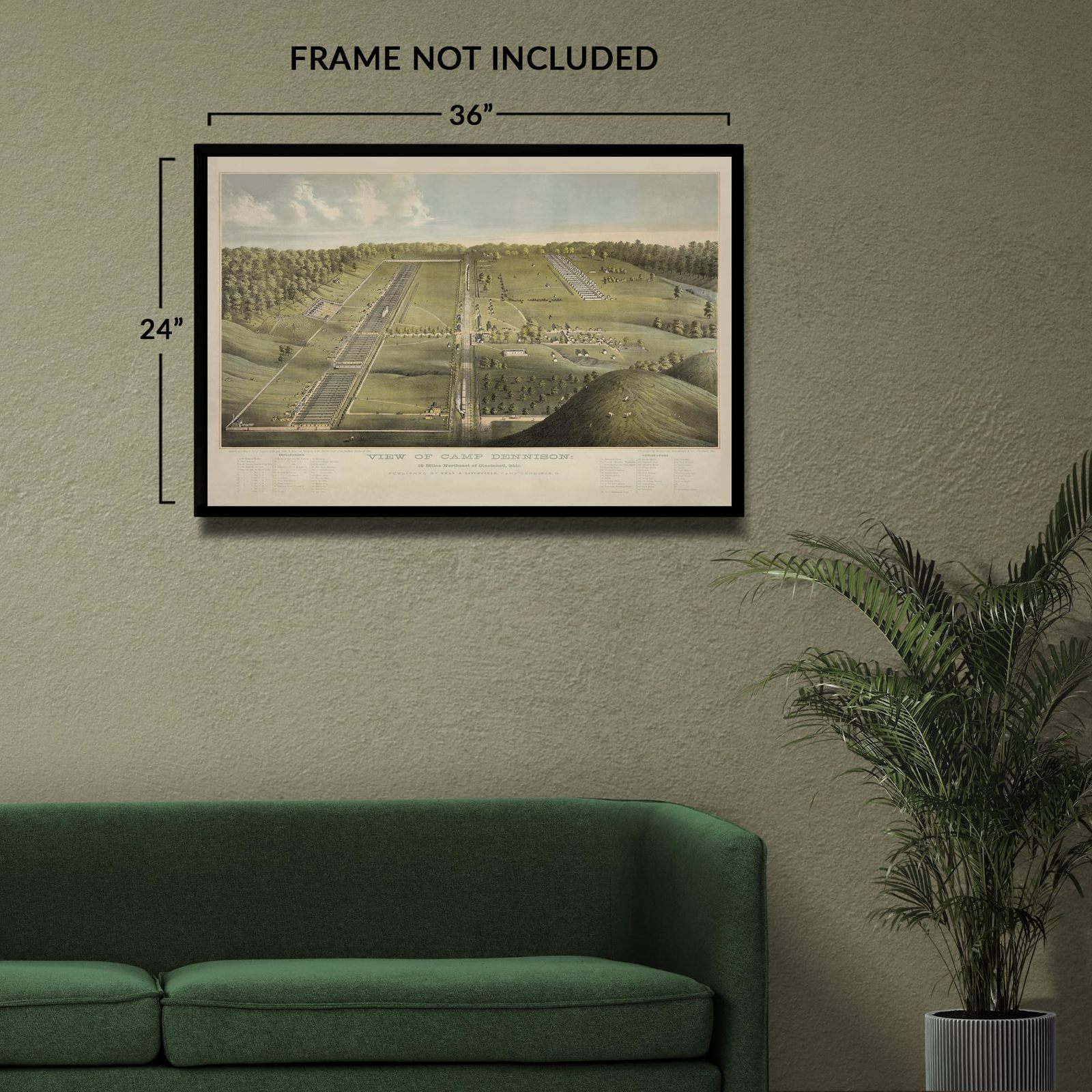
| size: |
36L" x 24W" |
| Part Number: |
ENMAP06842436A |
| Wall Art Form: |
poster |
| Target Gender: |
unisex |
Listing details
| Seller policies: | |
|---|---|
| Shipping discount: |
Seller pays shipping for this item. |
| Posted for sale: |
More than a week ago |
| Item number: |
1735827219 |
Item description
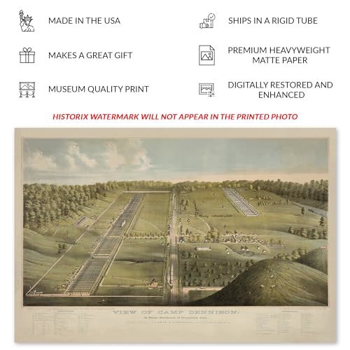
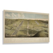
Founded during the outbreak of the American Civil War in 1861, Camp Dennison's prime location on the banks of the Ohio River and proximity to Cincinnati made it a central base for Union troops as a training center, recruitment source, and location for launching invasions into Confederate states including Kentucky and Virginia where large encampments of rebel troops were based. This bird's eye perspective was produced by the Strobridge Lithographing Company, which was located in Cincinnati and was one of the most popular firms in the region that created numerous distinct works throughout the latter portions of the nineteenth century.
Named after the Governor of Ohio at the time, Camp Dennison was home to up to fifty thousand Union troops during its active years. The encampment was deactivated with the conclusion of the Civil War in September of 1865. The Waldschmidt-Camp Dennison District was placed on the National Register of Historic Places in 1973 as a historic district, which remains to this day. Panoramic maps bear a distinctive style that was not required to be true to navigational scale and was widely popular during the late nineteenth and early twentieth century. They were created to memorialize and highlight notable areas across the United States.
Bird's eye perspective have a unique style that is immediately recognizable and transports the viewer back in time creating an indelible bond between the past and present. This panoramic map captures Camp Dennison in one of the most significant and transformative moments in American history.
Additional Details
------------------------------
Bullet point: VINTAGE MAP REPRODUCTION: You?ll love this high quality historic reproduction of 1865 Camp Dennison Map Print. Our museum quality prints are archival grade, which means it will look great and last without fading for over 100 years. Our print to order maps are made in the USA and each map is inspected for quality. This beautiful artwork is a perfect addition to your themed decor. Vintage maps look great in the home, study or office. They make a perfect gift as well.
Product description:
Founded during the outbreak of the American Civil War in 1861, Camp Dennison's prime location on the banks of the Ohio River and proximity to Cincinnati made it a central base for Union troops as a training center, recruitment source, and location for launching invasions into Confederate states including Kentucky and Virginia where large encampments of rebel troops were based. This bird's eye perspective was produced by the Strobridge Lithographing Company, which was located in Cincinnati and was one of the most popular firms in the region that created numerous distinct works throughout the latter portions of the nineteenth century.
Named after the Governor of Ohio at the time, Camp Dennison was home to up to fifty thousand Union troops during its active years. The encampment was deactivated with the conclusion of the Civil War in September of 1865. The Waldschmidt-Camp Dennison District was placed on the National Register of Historic Places in 1973 as a historic district, which remains to this day. Panoramic maps bear a distinctive style that was not required to be true to navigational scale and was widely popular during the late nineteenth and early twentieth century. They were created to memorialize and highlight notable areas across the United States.
Bird's eye perspective have a unique style that is immediately recognizable and transports the viewer back in time creating an indelible bond between the past and present. This panoramic map captures Camp Dennison in one of the most significant and transformative moments in American history.
Style: Retro
Loading
This item has been added to your cart
 HISTORIX Vintage 1865 Camp Dennison Map Print - 24x36 Inch Vintage Bird's Eye Vi added to cart.
8 available in stock
HISTORIX Vintage 1865 Camp Dennison Map Print - 24x36 Inch Vintage Bird's Eye Vi added to cart.
8 available in stock
View Cart or continue shopping.
 Please wait while we finish adding this item to your cart.
Get an item reminder
We'll email you a link to your item now and follow up with a single reminder (if you'd like one). That's it! No spam, no hassle.
Already have an account?
Log in and add this item to your wish list.