Welcome to Bonanza, an online marketplace with the best prices.
With over 25 million items and 40,000 sellers, Bonanza is the place to find the items you need at the prices you want.
| Category: | |
|---|---|
| Quantity Available: |
Only one in stock, order soon |
| Condition: |
Unspecified by seller, may be new. |
| Original/Reproduction: |
Vintage Original |
| Date Range: |
1960-1969 |
| Year: |
1960 |
| Country/Region: |
Canada |
| Canadian Province: |
British Columbia |
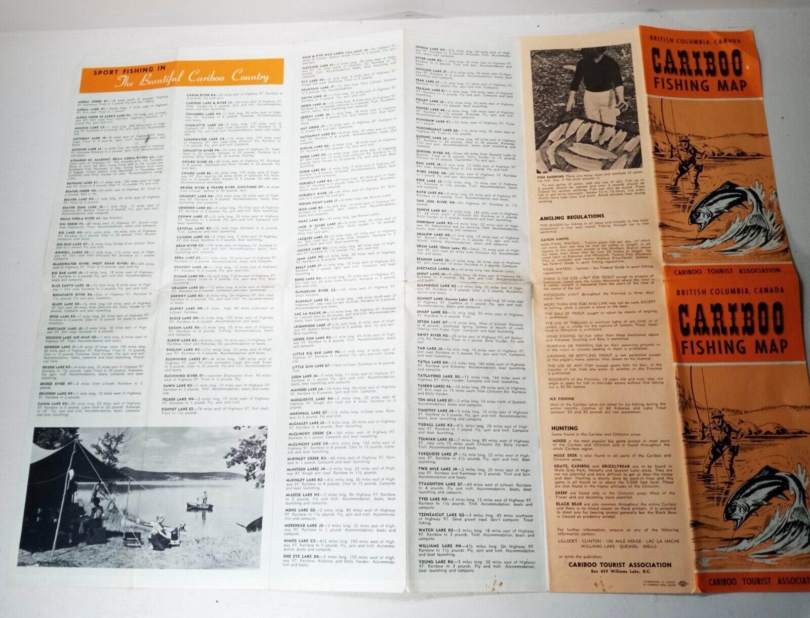
| Format: |
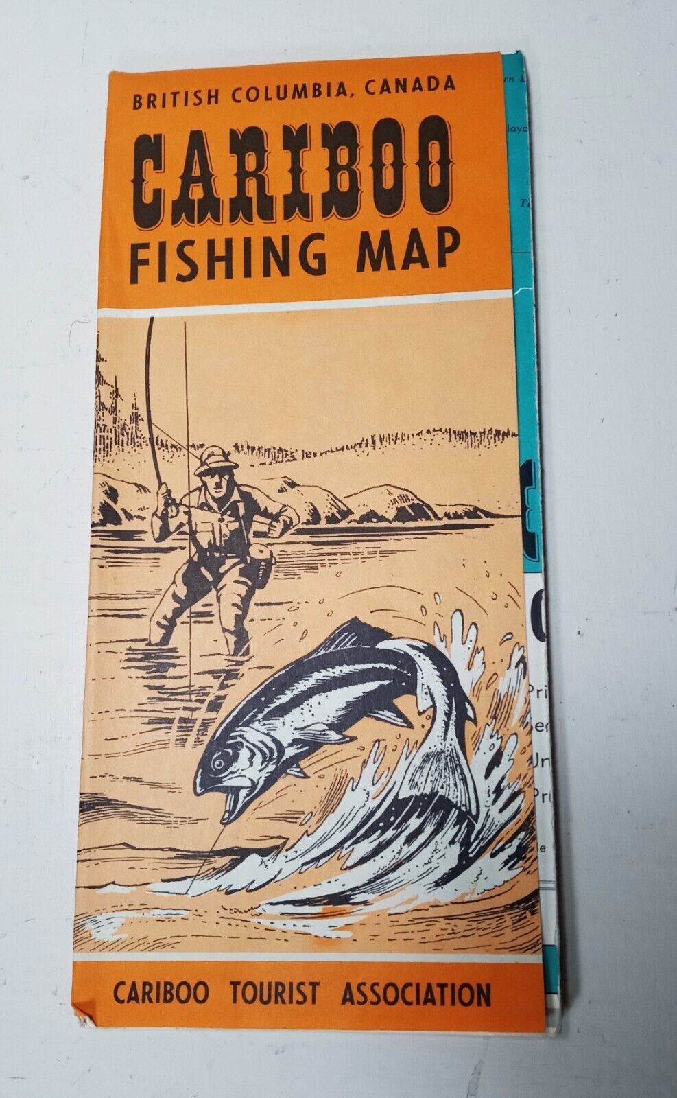
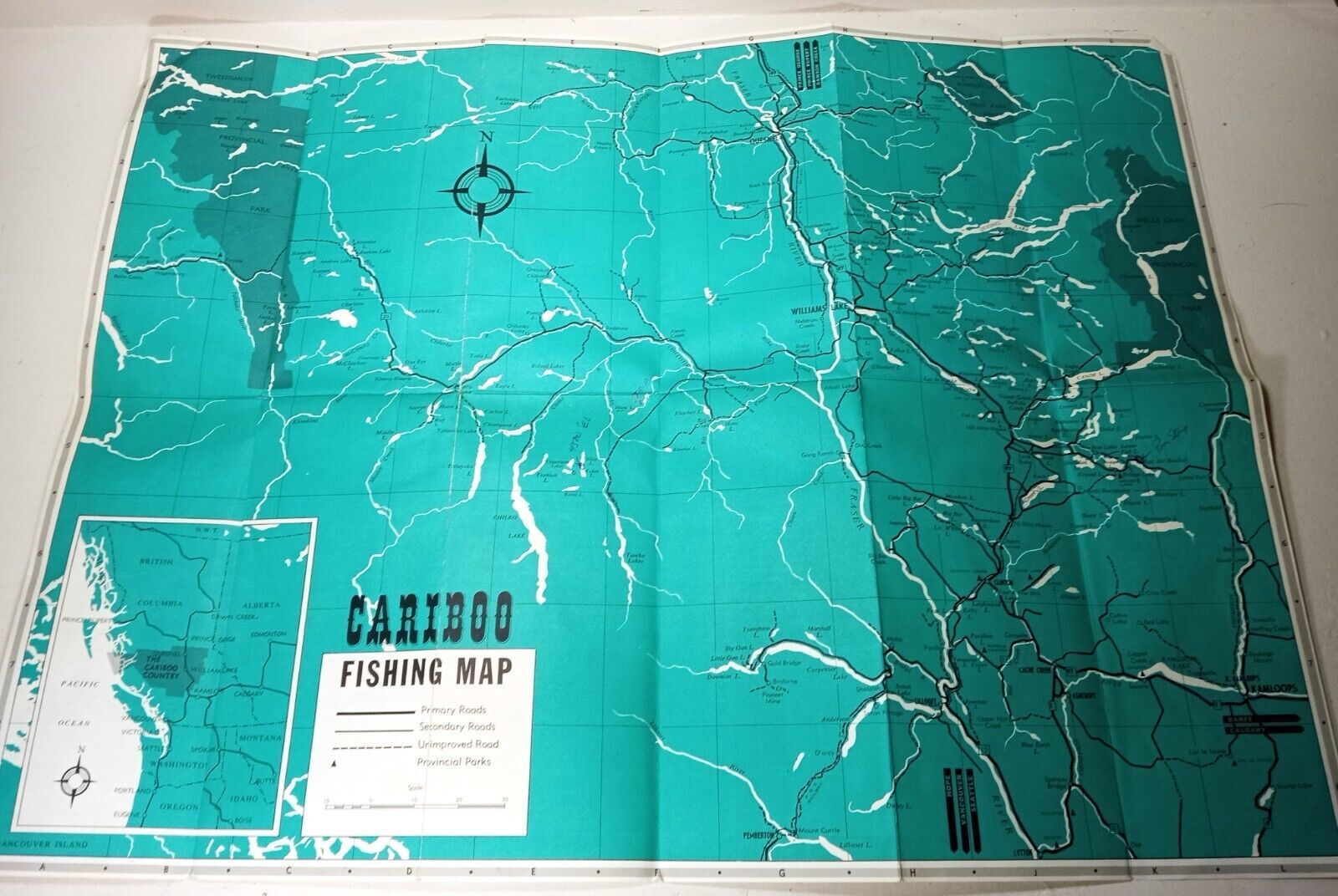
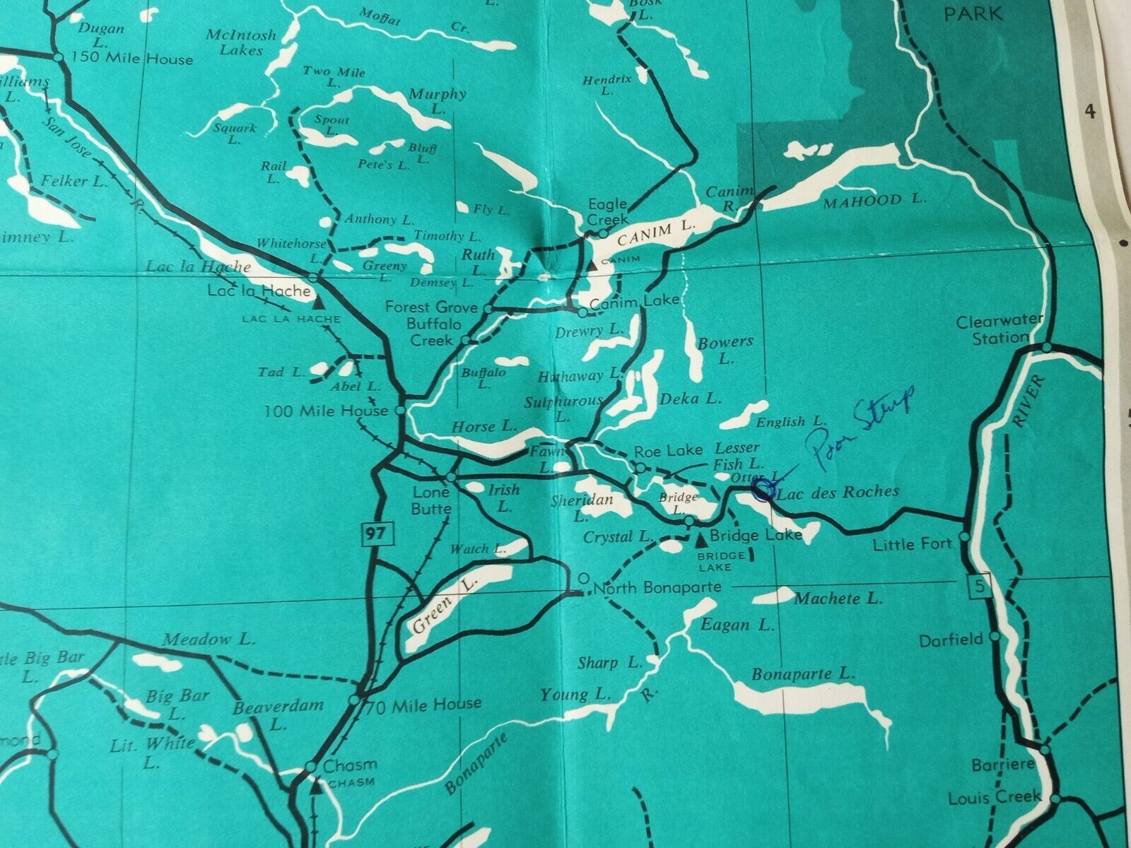
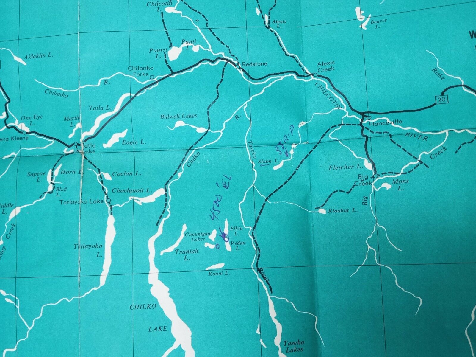
Folding Map |
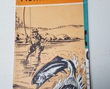
| Type: |
River & Lake Fishing Map |
| US State: |
British Columbia |
| Shipping discount: |
No combined shipping offered |
|---|---|
| Posted for sale: |
More than a week ago |
| Item number: |
1601533774 |
We'll email you a link to your item now and follow up with a single reminder (if you'd like one). That's it! No spam, no hassle.
