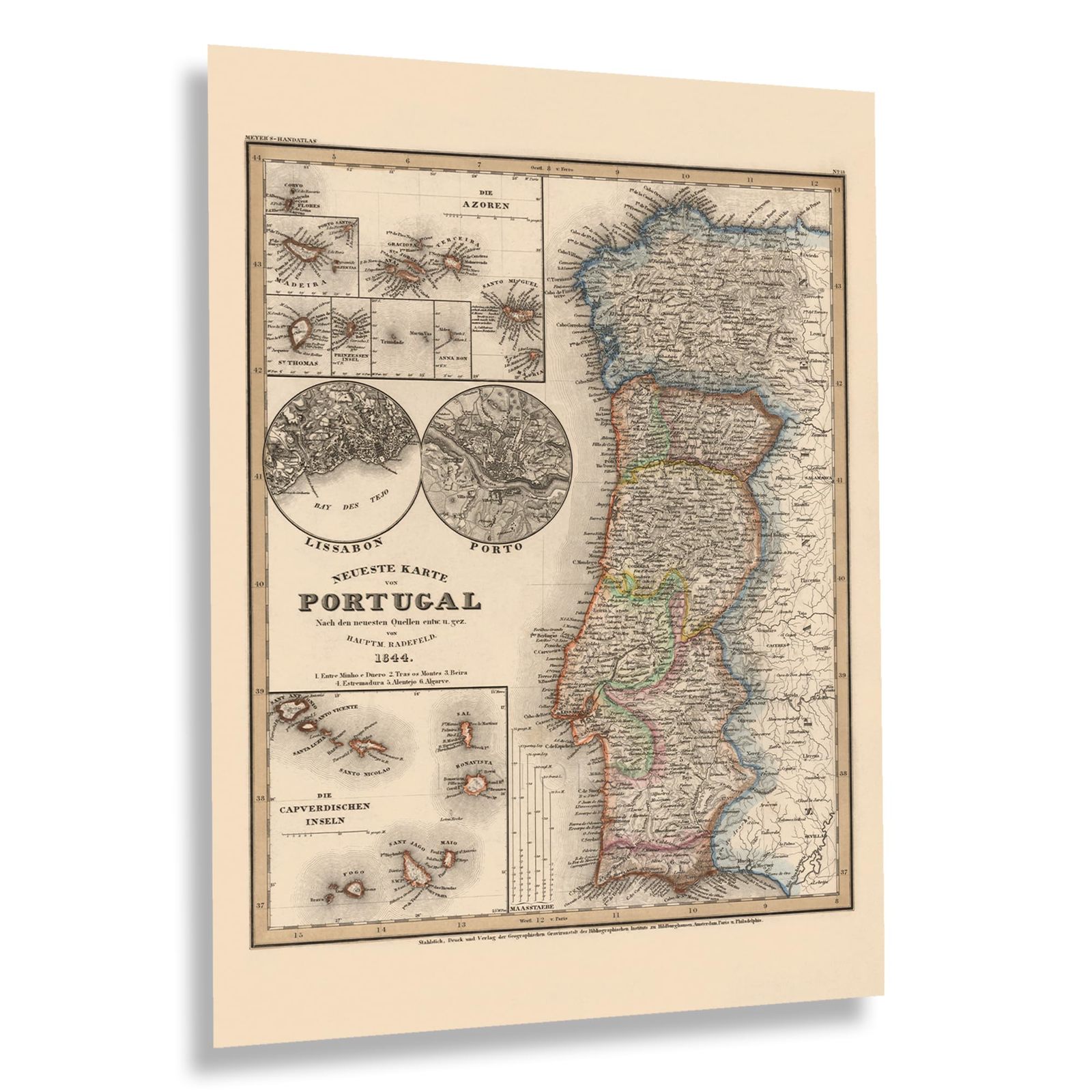
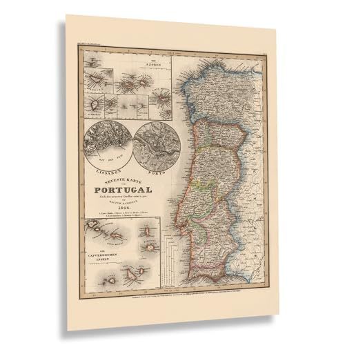
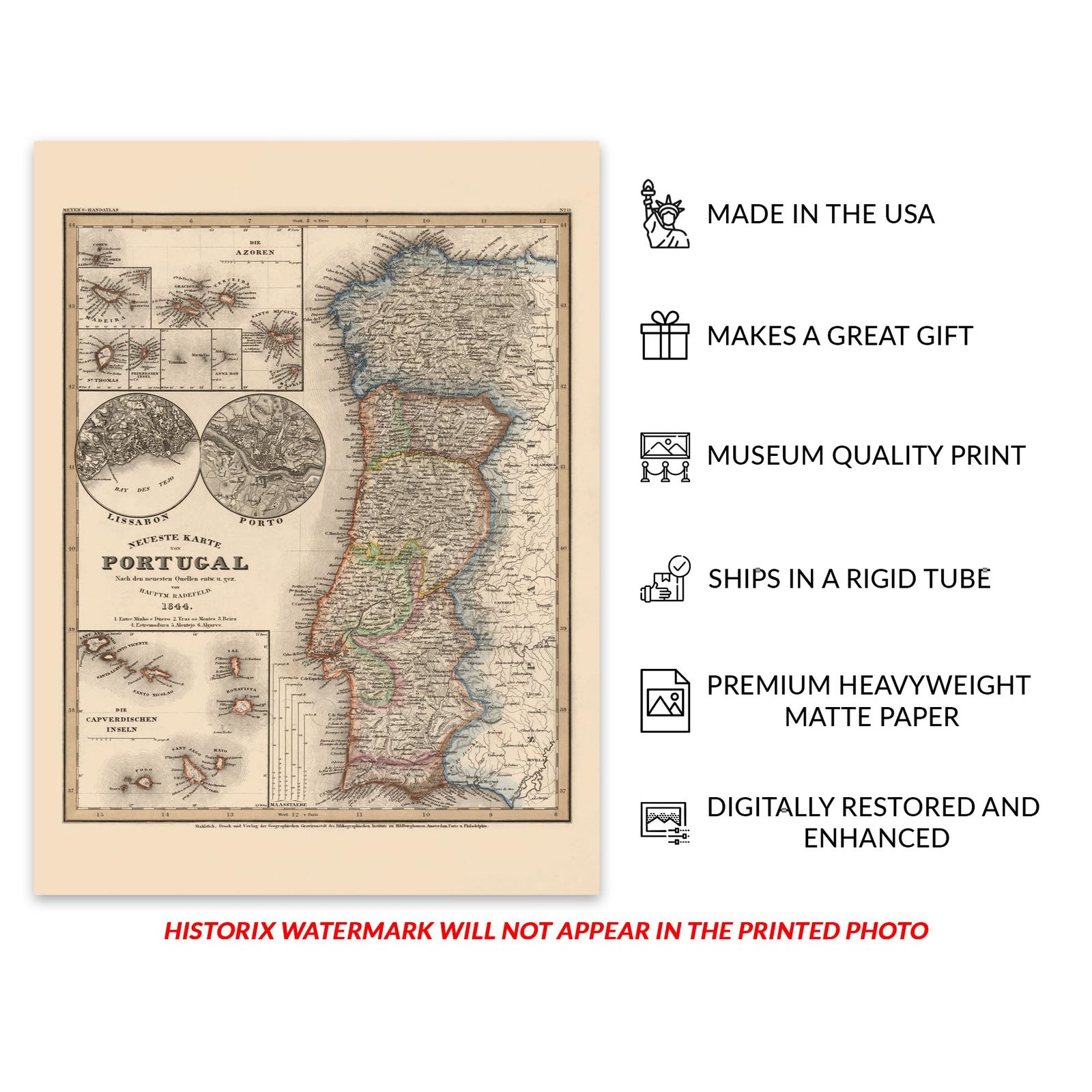
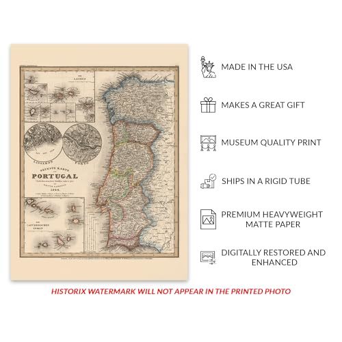
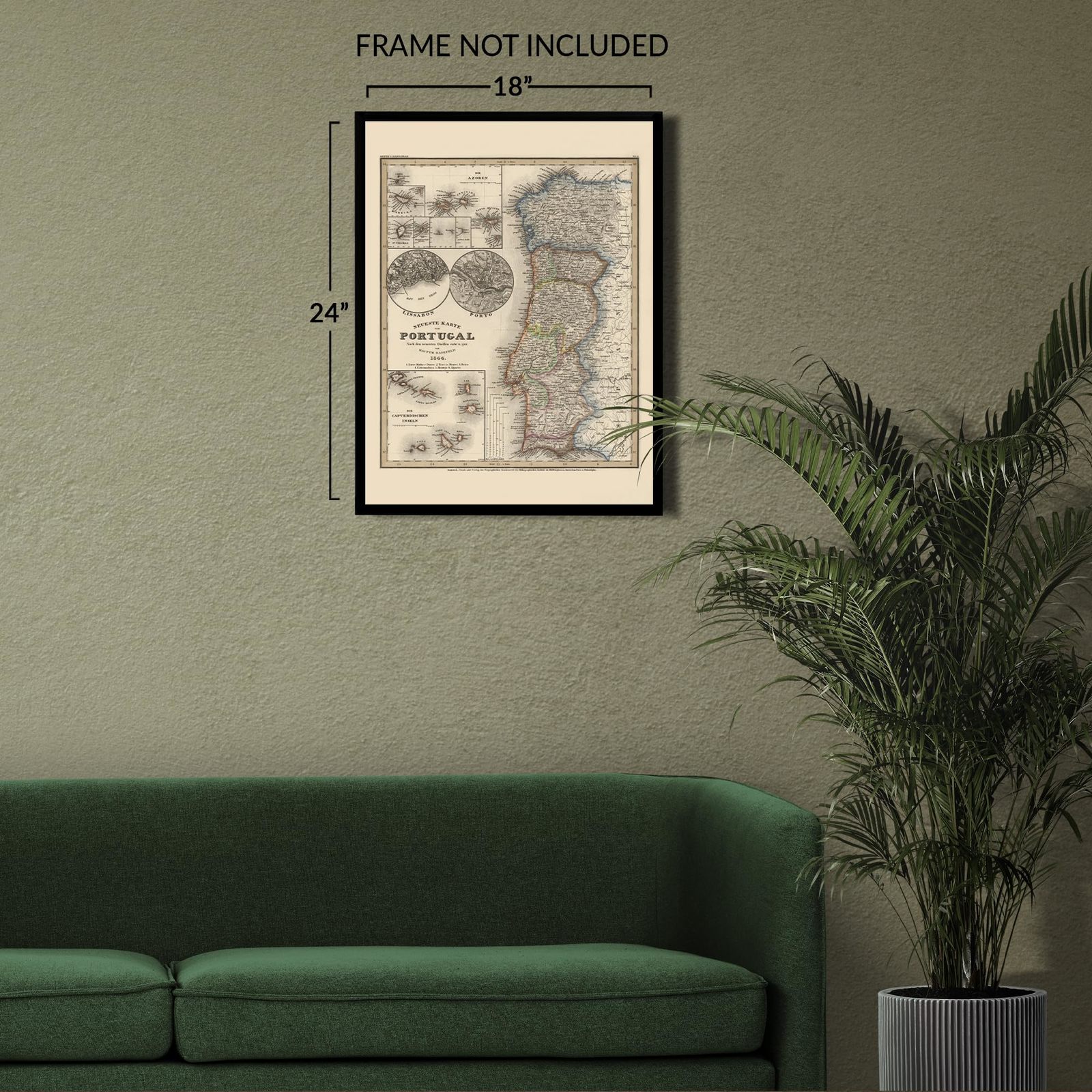
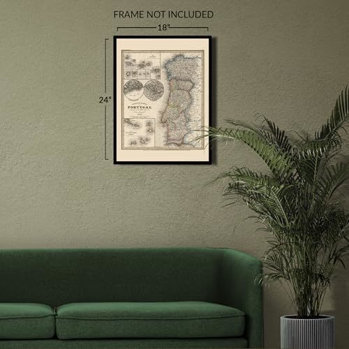
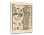
The oldest nation-state in Europe, Portugal, was founded in 1143 and has a rich history, cuisine, language, and culture that continues to evolve and develop. Produced in 1844, this map of Portugal offers a rare glimpse into the past with a unique aesthetic and distinctive style that immediately transports the viewer back in time and creates an indelible bond to the nation's deep roots. Portugal also features the westernmost point in Europe, and its vast coastline contributed to its maritime history as one of the most skilled nations to sail around the globe, establishing colonies on numerous continents and spreading their language and culture.
During the fifteenth and sixteenth centuries, Portugal emerged as a key player in the Age of Discovery. It was one of the most prominent leaders and established one of Europe's longest-running maritime and commercial empires. However, the middle portions of the nineteenth century brought challenges such as occupation during the Napoleonic Wars, the 1755 Lisbon Earthquake, and the independence of Brazil in 1922, leading to a period of economic decline. Despite this, Portugal continues to be a significant influence in architecture, music, and literature, and today, there are over three hundred million Portuguese speakers across the globe.
Portugal has been inhabited by a wide variety of different cultures and nations, which have all contributed to the rich tapestry that represents the diversity of Portuguese culture. This diversity is reflected in Portuguese cuisine, art, and society, which remains one of the most distinct in all of Western Europe. This is an authentic piece of cartographical history.
Additional Details
------------------------------
Bullet point: VINTAGE MAP REPRODUCTION: You?ll love this high quality historic reproduction of 1844 Portugal Map Poster. Our museum quality prints are archival grade, which means it will look great and last without fading for over 100 years. Our print to order maps are made in the USA and each map is inspected for quality. This beautiful artwork is a perfect addition to your themed decor. Vintage maps look great in the home, study or office. They make a perfect gift as well.
Product description:
The oldest nation-state in Europe, Portugal, was founded in 1143 and has a rich history, cuisine, language, and culture that continues to evolve and develop. Produced in 1844, this map of Portugal offers a rare glimpse into the past with a unique aesthetic and distinctive style that immediately transports the viewer back in time and creates an indelible bond to the nation's deep roots. Portugal also features the westernmost point in Europe, and its vast coastline contributed to its maritime history as one of the most skilled nations to sail around the globe, establishing colonies on numerous continents and spreading their language and culture.
During the fifteenth and sixteenth centuries, Portugal emerged as a key player in the Age of Discovery. It was one of the most prominent leaders and established one of Europe's longest-running maritime and commercial empires. However, the middle portions of the nineteenth century brought challenges such as occupation during the Napoleonic Wars, the 1755 Lisbon Earthquake, and the independence of Brazil in 1922, leading to a period of economic decline. Despite this, Portugal continues to be a significant influence in architecture, music, and literature, and today, there are over three hundred million Portuguese speakers across the globe.
Portugal has been inhabited by a wide variety of different cultures and nations, which have all contributed to the rich tapestry that represents the diversity of Portuguese culture. This diversity is reflected in Portuguese cuisine, art, and society, which remains one of the most distinct in all of Western Europe. This is an authentic piece of cartographical history.