HISTORIX Vintage 1895 Map of Detroit and similar items


Free Shipping
HISTORIX Vintage 1895 Map of Detroit Michigan - 18x24 Inch Vintage Detroit Map P
$39.99 - $59.99
View full item details »

Shipping options
Seller handling time is 1 business day Details
FREE via to United States
Return policy
Full refund available for DOAs
Details
Purchase protection
Payment options
PayPal accepted
PayPal Credit accepted
Venmo accepted
PayPal, MasterCard, Visa, Discover, and American Express accepted
Maestro accepted
Amazon Pay accepted
Nuvei accepted
View full item details »
Shipping options
Seller handling time is 1 business day Details
FREE via to United States
Return policy
Full refund available for DOAs
Details
Purchase protection
Payment options
PayPal accepted
PayPal Credit accepted
Venmo accepted
PayPal, MasterCard, Visa, Discover, and American Express accepted
Maestro accepted
Amazon Pay accepted
Nuvei accepted
Item traits
| Category: | |
|---|---|
| Quantity Available: |
16 in stock |
| Condition: |
New |
| UPC: |
737214972792 |
| Item Name: |
1895 Detroit, Michigan |
| Item Type Keyword: |
prints |
| Unspsc Code: |
60121013 |
| sizes: |
Listing details
| Seller policies: | |
|---|---|
| Shipping discount: |
Seller pays shipping for this item. |
| Posted for sale: |
April 23 |
| Item number: |
1741850237 |
Item description
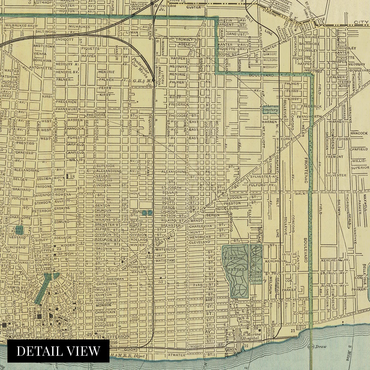
Detroit was experiencing a significant period of prosperity, growth, and development during the so-called Gilded Age. By the time of this publication, Detroit’s location had allowed its port to become one of the busiest in the world, and by the early parts of the twentieth century, it exceeded New York by three times in shipping commerce volume. The iconic Midwest city was the second-largest behind Chicago and the fourth largest in the United States. Its proximity to the Lawrence Seaway allowed goods to flow throughout the Midwest, Canada, and the Eastern United States. This period was so prosperous that Detroit became known as the Paris of the West due to its distinctive architecture, grand avenues, and an electric lighting system designed by Thomas Edison himself.
This detailed depiction was produced by one of the most trusted American mapmaking companies of the nineteenth century, Matthews-Northrup, based out of Buffalo, New York. Their works often detailed rail lines and bore a unique aesthetic and classic style that immediately transports the viewer back in time, creating an indelible bond between the past and present.
The city attracted thousands of immigrants from across Europe and America looking for work in the thriving port and steel mills which created a population boom during the late nineteenth century. Immigrants established numerous communities throughout the city along cultural lines, many of which exist to this day. This is truly an authentic piece of American cartographical history that illustrates the grandeur of Detroit in the 1890s.
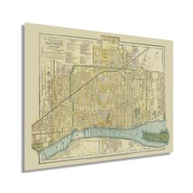
Our museum quality giclee print comes printed with archival ink on premium heavyweight matte paper. Shipped in a sturdy cardboard tube your print will arrive ready to be framed. This eye-catching vintage map reproduction print makes the perfect gift for anyone that loves history and imagery.
Loading
This item has been added to your cart
 HISTORIX Vintage 1895 Map of Detroit Michigan - 18x24 Inch Vintage Detroit Map P added to cart.
16 available in stock
HISTORIX Vintage 1895 Map of Detroit Michigan - 18x24 Inch Vintage Detroit Map P added to cart.
16 available in stock
View Cart or continue shopping.
 Please wait while we finish adding this item to your cart.
Get an item reminder
We'll email you a link to your item now and follow up with a single reminder (if you'd like one). That's it! No spam, no hassle.
Already have an account?
Log in and add this item to your wish list.