HISTORIX Vintage 1892 Wauwatosa Wisconsin and similar items


Free Shipping
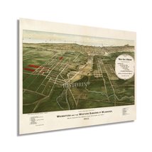
HISTORIX Vintage 1892 Wauwatosa Wisconsin Map - 18x24 Inch History Map of Wauwat
$39.99 - $59.99
View full item details »

Shipping options
Seller handling time is 1 business day Details
FREE via to United States
Return policy
Full refund available for DOAs
Details
Purchase protection
Payment options
PayPal accepted
PayPal Credit accepted
Venmo accepted
PayPal, MasterCard, Visa, Discover, and American Express accepted
Maestro accepted
Amazon Pay accepted
Nuvei accepted
View full item details »
Shipping options
Seller handling time is 1 business day Details
FREE via to United States
Return policy
Full refund available for DOAs
Details
Purchase protection
Payment options
PayPal accepted
PayPal Credit accepted
Venmo accepted
PayPal, MasterCard, Visa, Discover, and American Express accepted
Maestro accepted
Amazon Pay accepted
Nuvei accepted
Item traits
| Category: | |
|---|---|
| Quantity Available: |
16 in stock |
| Condition: |
New |
| UPC: |
737214979449 |
| Item Name: |
1892 Wauwatosa and the western suburbs of Milwaukee Poster Print |
| Item Type Keyword: |
prints |
| sizes: |
Listing details
| Seller policies: | |
|---|---|
| Shipping discount: |
Seller pays shipping for this item. |
| Posted for sale: |
April 23 |
| Item number: |
1741848270 |
Item description
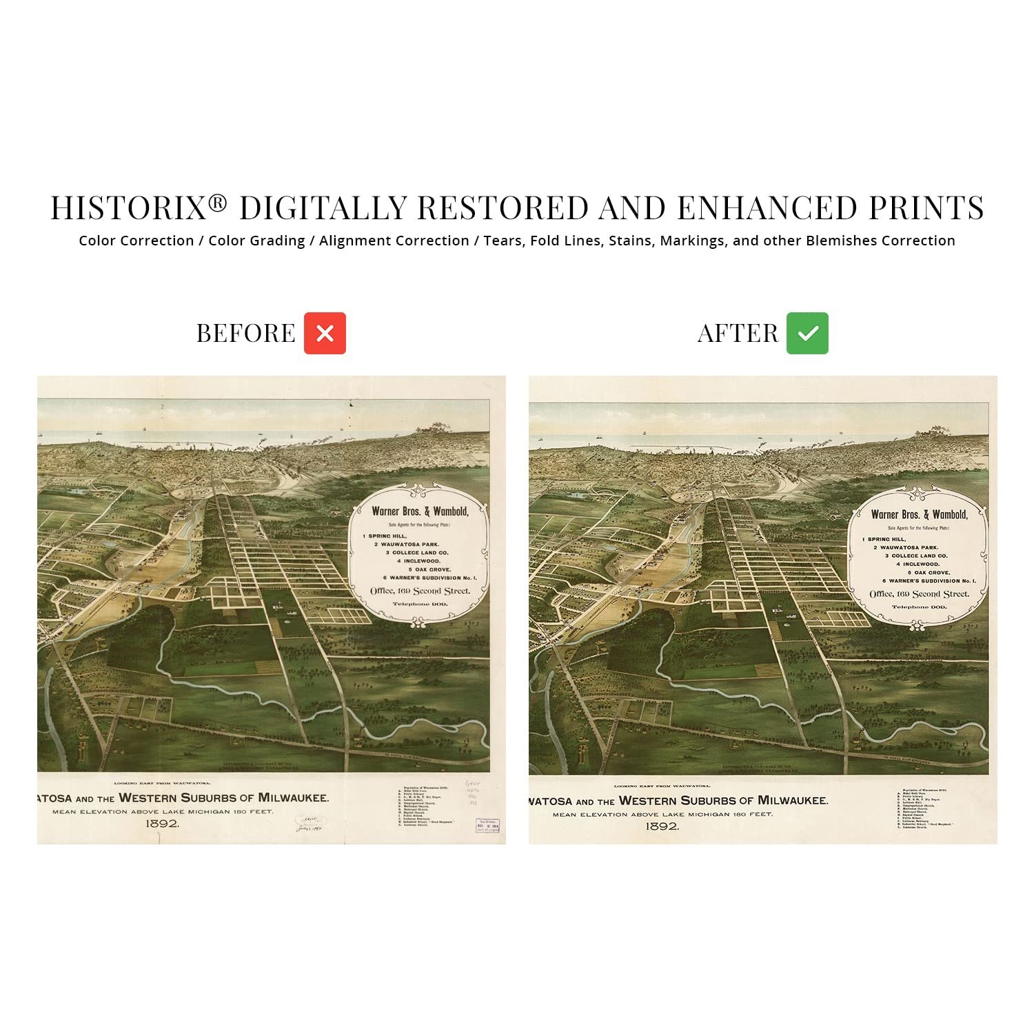
First settled in 1835, Wauwatosa became a critical overland link between the fertile farmlands of the Menomonee Valley and the Port of Milwaukee. Originally called Hart’s Mill after the first settler Charles Hart, the town of Wauwatosa was officially established in 1840. It is located due west of Milwaukee, making it part of the Milwaukee metropolitan region, and in 1851 the city became home to the western terminus of Wisconsin’s first railroad. Though the town and surrounding area would remain largely agrarian during the nineteenth century, its expansion as an industrial manufacturing hub would grow as the nation neared the turn of the twentieth century.
Panoramic maps were created as marketing materials to attract residents and merchants alike and featured prominent civic features, educational institutions, and economic features. They were widely popular during the mid-nineteenth century and early parts of the twentieth century until technological advances in aviation and photography allowed for aerial photography. These maps are historically significant representations that capture cities in transformative moments throughout history. This birds eye perspective bears a signature style for the time and classic aesthetic that transports the viewer back in time.
This map was published in the same year that the village was officially incorporated. The city’s classic Victorian architecture remains an enduring part of its distinct culture, and historic homes and businesses remain to this day. This is an authentic piece of American cartographical history that creates an indelible bond between the past and present with stunning detail and artistic flourishes.
Our museum quality giclee print comes printed with archival ink on premium heavyweight matte paper. Shipped in a sturdy cardboard tube your print will arrive ready to be framed. This vintage map makes the perfect gift for anyone that loves history and imagery.
Loading
This item has been added to your cart
 HISTORIX Vintage 1892 Wauwatosa Wisconsin Map - 18x24 Inch History Map of Wauwat added to cart.
16 available in stock
HISTORIX Vintage 1892 Wauwatosa Wisconsin Map - 18x24 Inch History Map of Wauwat added to cart.
16 available in stock
View Cart or continue shopping.
 Please wait while we finish adding this item to your cart.
Get an item reminder
We'll email you a link to your item now and follow up with a single reminder (if you'd like one). That's it! No spam, no hassle.
Already have an account?
Log in and add this item to your wish list.