HISTORIX Vintage 1820 Map of Maine Poster - and similar items


Free Shipping
HISTORIX Vintage 1820 Map of Maine Poster - 19x25 Inch Nordic Oak (Natural) Fram
$287.99 - $382.99
View full item details »

Shipping options
Seller handling time is 1 business day Details
FREE via to United States
Return policy
Full refund available for DOAs
Details
Purchase protection
Payment options
PayPal accepted
PayPal Credit accepted
Venmo accepted
PayPal, MasterCard, Visa, Discover, and American Express accepted
Maestro accepted
Amazon Pay accepted
Nuvei accepted
View full item details »
Shipping options
Seller handling time is 1 business day Details
FREE via to United States
Return policy
Full refund available for DOAs
Details
Purchase protection
Payment options
PayPal accepted
PayPal Credit accepted
Venmo accepted
PayPal, MasterCard, Visa, Discover, and American Express accepted
Maestro accepted
Amazon Pay accepted
Nuvei accepted
Item traits
| Category: | |
|---|---|
| Quantity Available: |
16 in stock |
| Condition: |
New |
| ASIN: |
B09G741PRJ |
| Item Name: |
1820 Maine State |
| Item Type Keyword: |
prints |
| Product Site Launch Date: |
2021-09-18T10:44:33.653Z |
| Unspsc Code: |
60121013 |
| colors: |
Nordic Oak (Natural) Frame (16 in stock) |
| sizes: |
Listing details
| Seller policies: | |
|---|---|
| Shipping discount: |
Seller pays shipping for this item. |
| Posted for sale: |
April 15 |
| Item number: |
1739669740 |
Item description
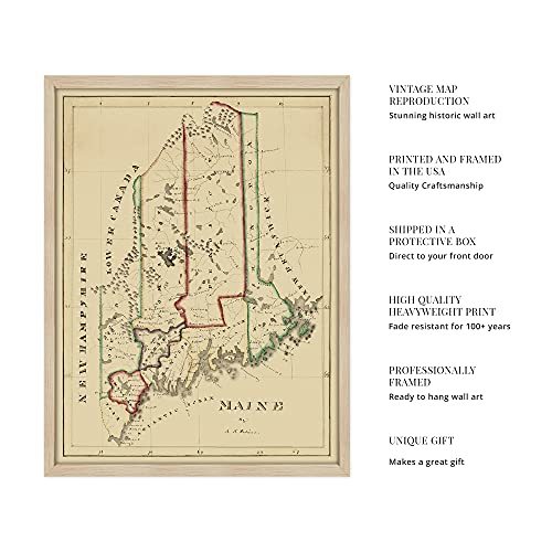
Published in the same year that Maine achieved statehood following secession from Massachusetts, this early map of the state shows it as the agricultural economy expanded, and immigration into Maine continued to spur settlement. Maine's farms were typically small family-run operations, and the state's natural geography proved formidable. Thin soil, dense forests, and unpredictable weather all created difficulties for Maine's farmers.
Mining also gained momentum as an economic driver in the early 19th century as massive granite quarries were established to ship slabs south for construction of statehouses and other notable buildings. Tanning also became a prominent industry for the state utilizing abundant hemlock stands for bark extract. The state lumber industry also allowed it to become the number one shipbuilder in the United States in the 1820s. At its pinnacle, Maine's shipyards were producing one-third of the nation’s sailing vessels.
The coastline offered numerous natural harbors with sloping beaches that allowed more substantial ships to get inland and allow greater access. The long coast also allowed the expansion of the commercial fishing industry, which would attract fishermen from around the globe to immigrate to the state. Maine's fishing industry supplied one-fifth of American fish in this period.
Maine had experienced some conflict during the War of 1812 as British forces attempted annexation of the region. The unique aesthetic of this map immediately transports the viewer back in time and illustrates the state in its formative years; this depiction is truly an authentic piece of American cartographical history.
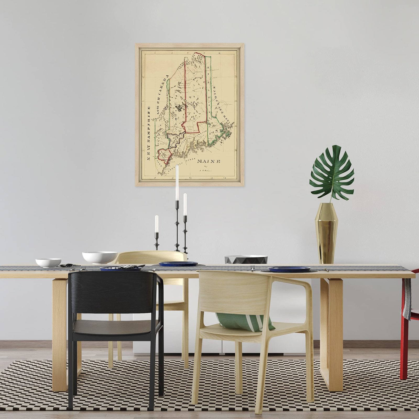
Our ready-to-hang wall art are printed and framed in the USA using the highest quality materials with professional craftsmanship. This beautiful artwork is a perfect addition to your themed decor. Historic prints look great in the home, study or office.
Loading
This item has been added to your cart
 HISTORIX Vintage 1820 Map of Maine Poster - 19x25 Inch Nordic Oak (Natural) Fram added to cart.
16 available in stock
HISTORIX Vintage 1820 Map of Maine Poster - 19x25 Inch Nordic Oak (Natural) Fram added to cart.
16 available in stock
View Cart or continue shopping.
 Please wait while we finish adding this item to your cart.
Get an item reminder
We'll email you a link to your item now and follow up with a single reminder (if you'd like one). That's it! No spam, no hassle.
Already have an account?
Log in and add this item to your wish list.