1893 Hawaiian Islands Map - Framed Vintage and 46 similar items


Free Shipping
1893 Hawaiian Islands Map - Framed Vintage Map of Hawaiian Islands Wall Art
$275.99 - $382.99
View full item details »

Shipping options
Estimated to arrive by Thu, Jun 19th.
Details
FREE via UPS Ground (1 to 5 business days) to United States
Return policy
Full refund available for DOAs
Details
Purchase protection
Payment options
PayPal accepted
PayPal Credit accepted
Venmo accepted
PayPal, MasterCard, Visa, Discover, and American Express accepted
Maestro accepted
Amazon Pay accepted
Nuvei accepted
View full item details »
Shipping options
Estimated to arrive by Thu, Jun 19th.
Details
FREE via UPS Ground (1 to 5 business days) to United States
Return policy
Full refund available for DOAs
Details
Purchase protection
Payment options
PayPal accepted
PayPal Credit accepted
Venmo accepted
PayPal, MasterCard, Visa, Discover, and American Express accepted
Maestro accepted
Amazon Pay accepted
Nuvei accepted
Item traits
| Category: | |
|---|---|
| Quantity Available: |
64 in stock |
| Condition: |
New |
| Style: |
Vintage |
| Type: |
|
| Sizes: | |
| Colors: |
Listing details
| Seller policies: | |
|---|---|
| Shipping discount: |
Seller pays shipping for this item. |
| Posted for sale: |
More than a week ago |
| Item number: |
1738802345 |
Item description
Feature Points
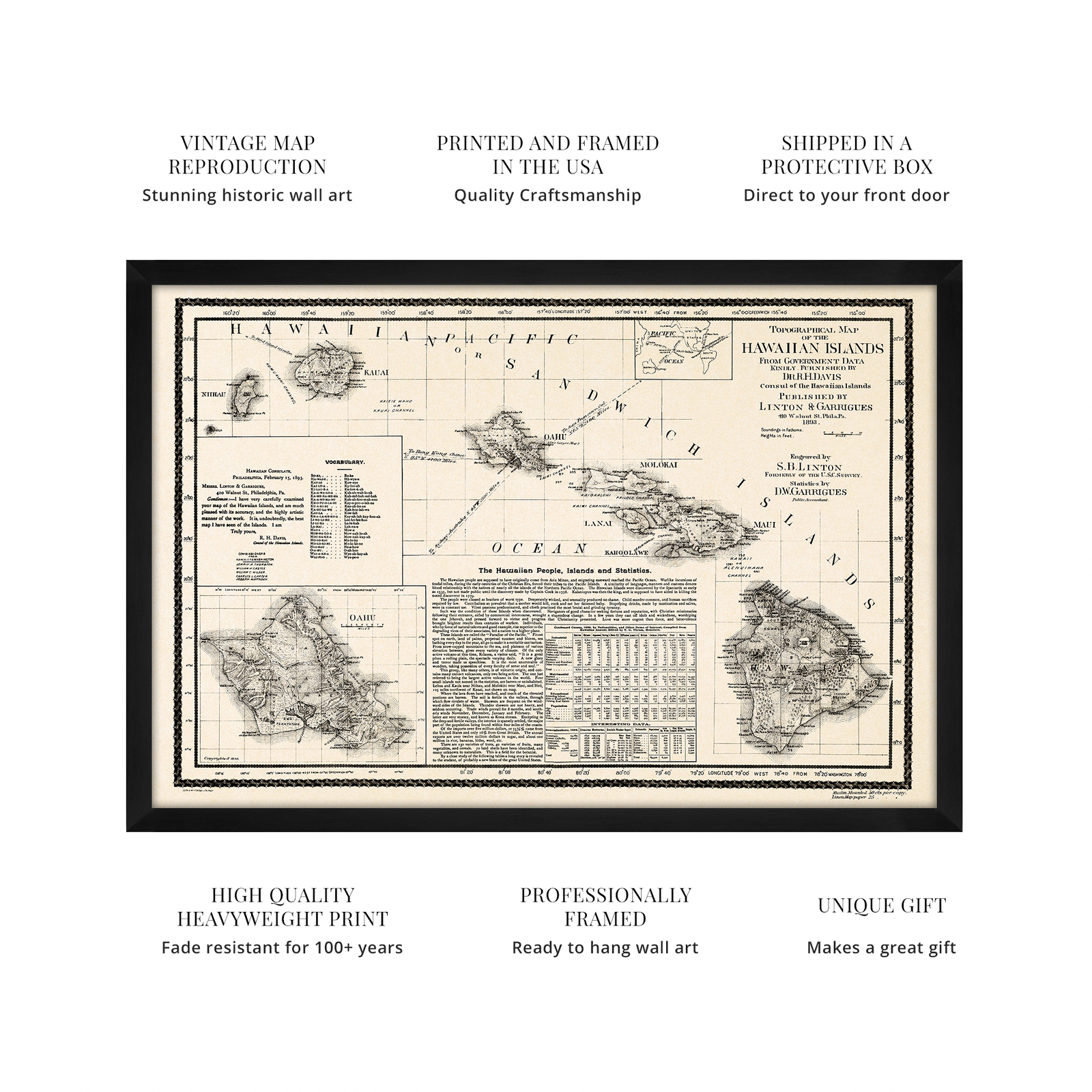
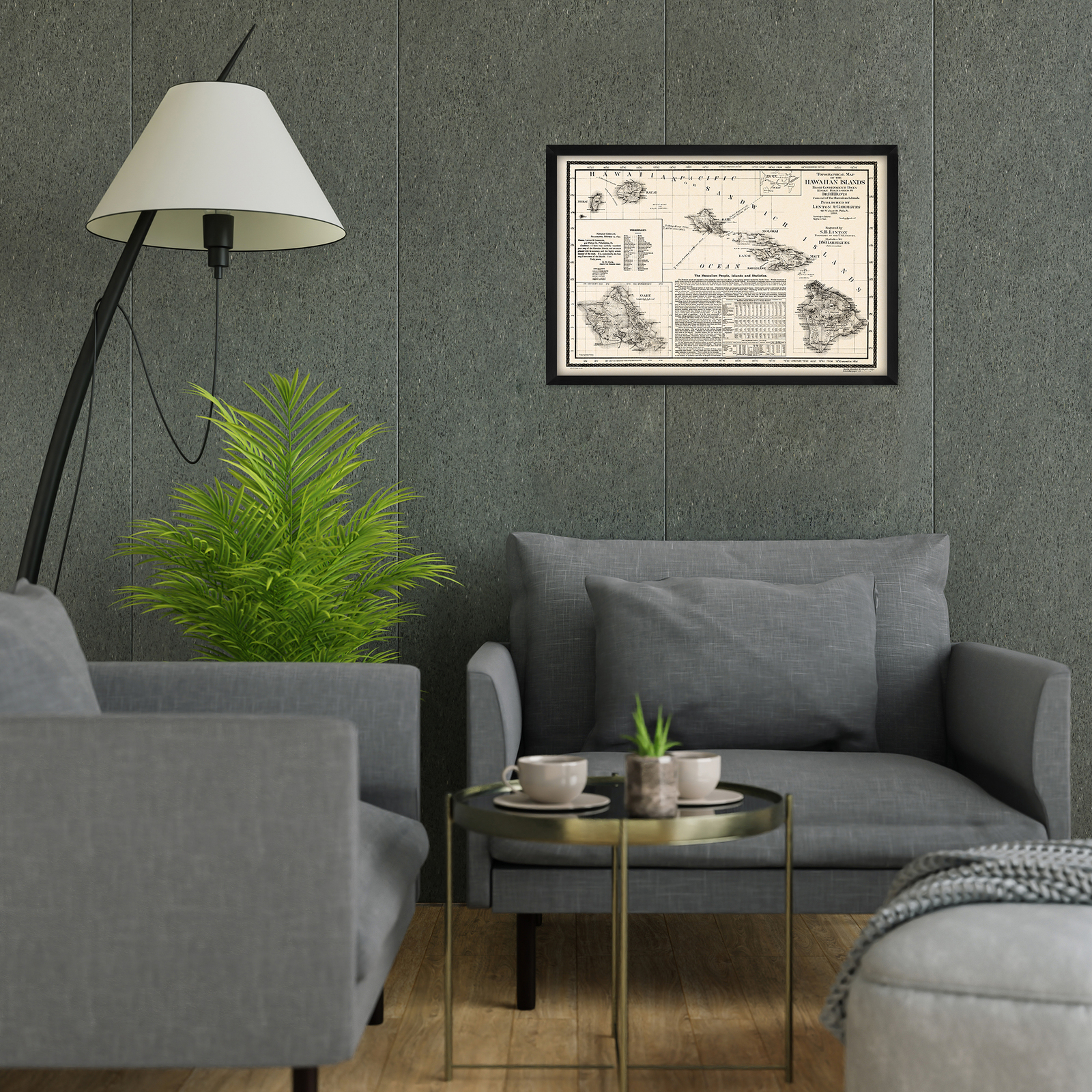
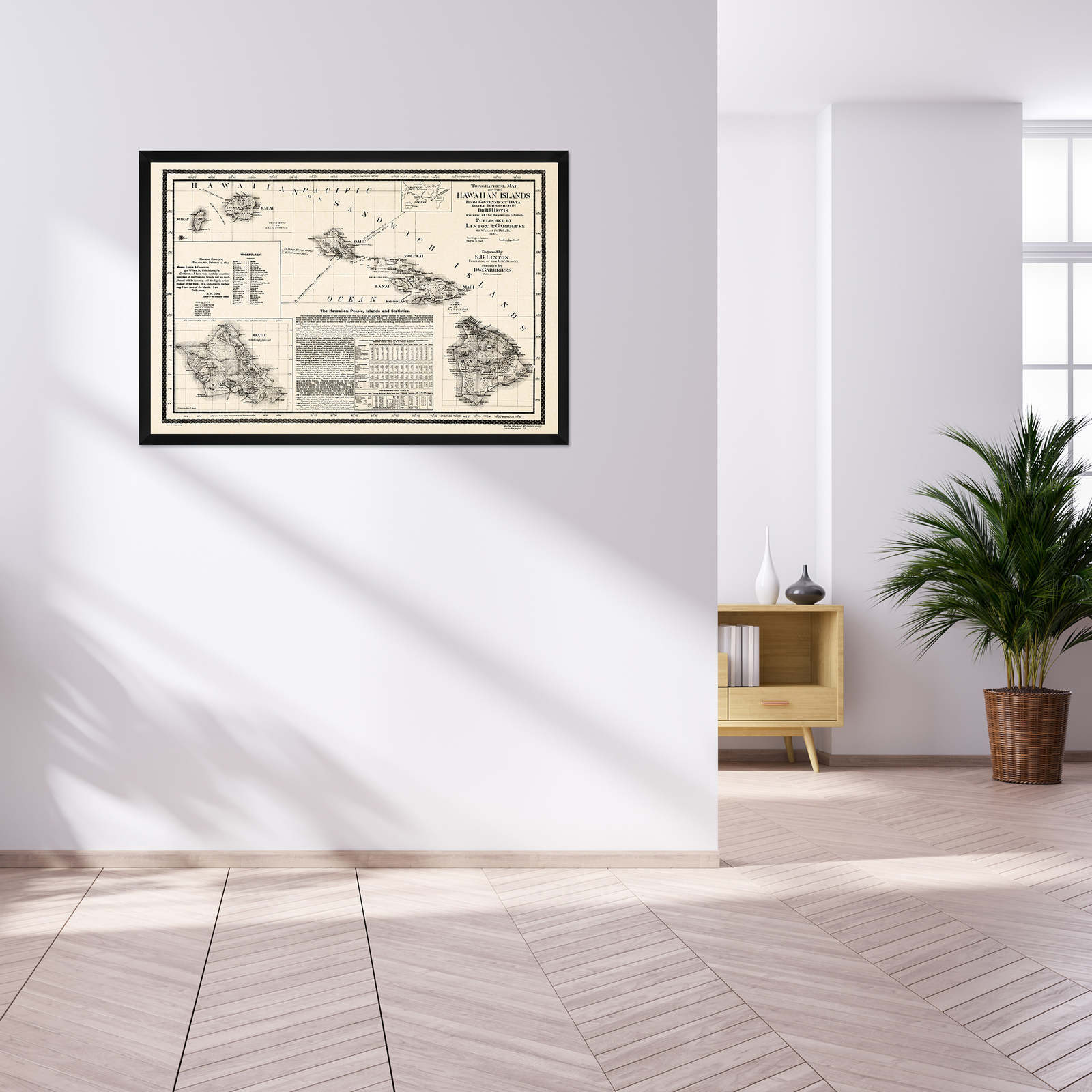
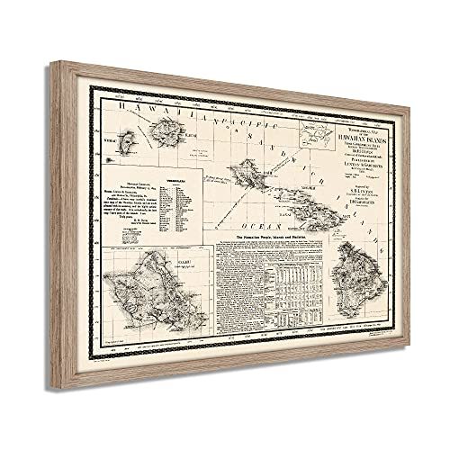
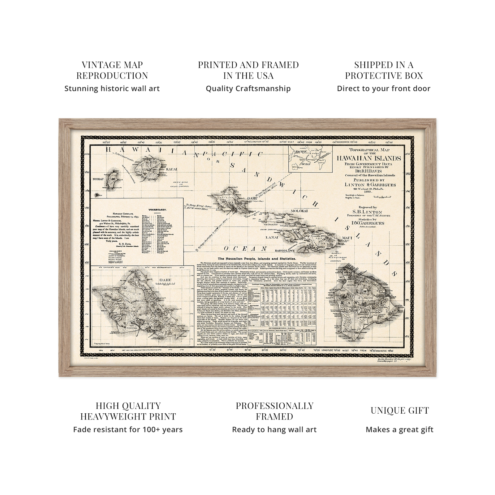
VINTAGE MAP FRAMED: You?ll love this high-quality framed historic reproduction of 1893 Hawaiian Islands Map Poster. Our ready-to-hang maps are printed and framed in the USA by professional art framers using the highest quality materials. Each order is inspected for quality. This beautiful artwork is a perfect addition to your themed decor. Vintage maps look great in the home, study or office. They also make an unforgettable gift.
A LOOK BACK AT HISTORY: This is an impressive, historic reproduction of 1893 Map of Hawaiian Islands Poster. A true piece of history. Historic prints beautifully link the past with the present. You may find yourself staring at your historic wall art for hours in amazement. See our product description section for more fascinating information about this historic map and its significance.
PREMIUM QUALITY: To display this amazing piece of history, we use museum-quality heavyweight (230gsm), fine art print matte paper. Our paper is acid-free which allows the print to retain its color quality for generations. Our paper displays vintage map art with accurate color reproduction. This high quality print will be a wonderful addition to your vintage-themed wall.
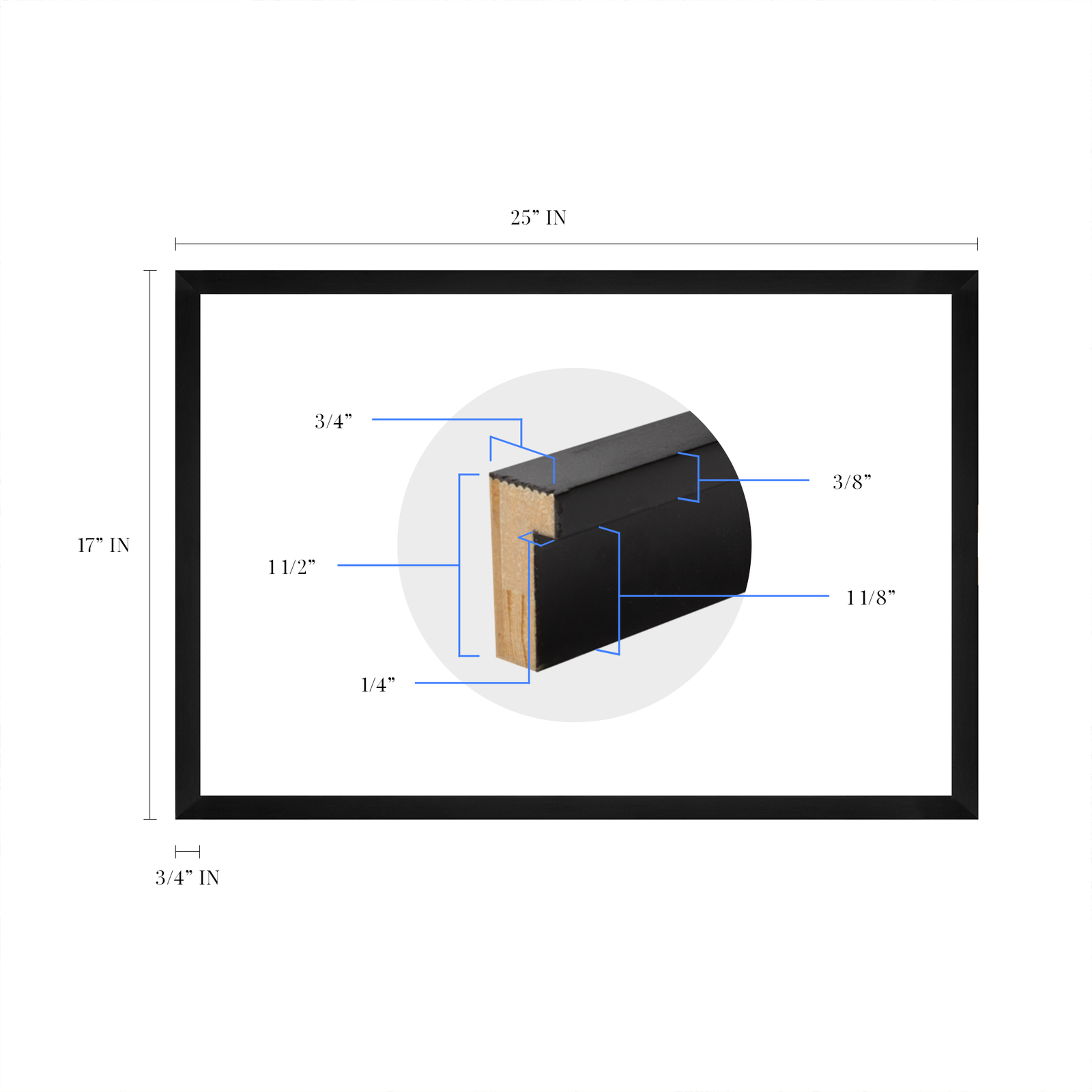
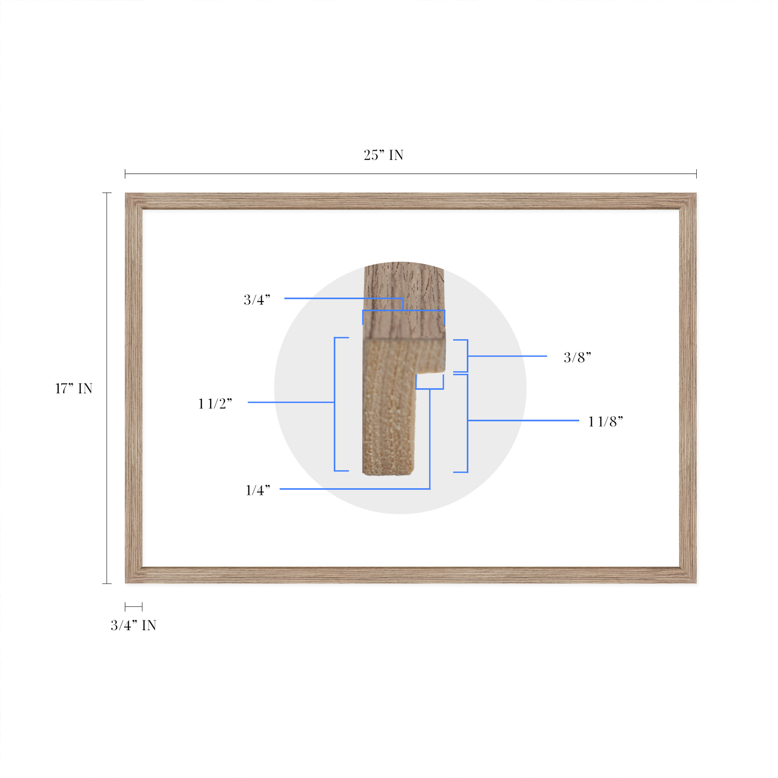
READY TO HANG: This high-quality frame displays art beautifully in almost any environment. The frame is made out of poplar wood (for black and white) and pine wood (for walnut and natural) with a matte finish. The frame profile is 1.5 inches high and 0.75 inches wide. To protect artwork, we use high-quality, lightweight, shatter-resistant frame-grade acrylic. Frames arrive ready-to-hang, preinstalled with hanging hardware.
HISTORIC PRINTS: We love history and art. Sometimes old maps have tears, folds, stamps, separations and other blemishes. We digitally restore and enhance maps while keeping its historical character. Our framed prints are made-to-order in the USA by professional art framers. Customers all over the world love our historic prints and we know you will too.
Additional Information
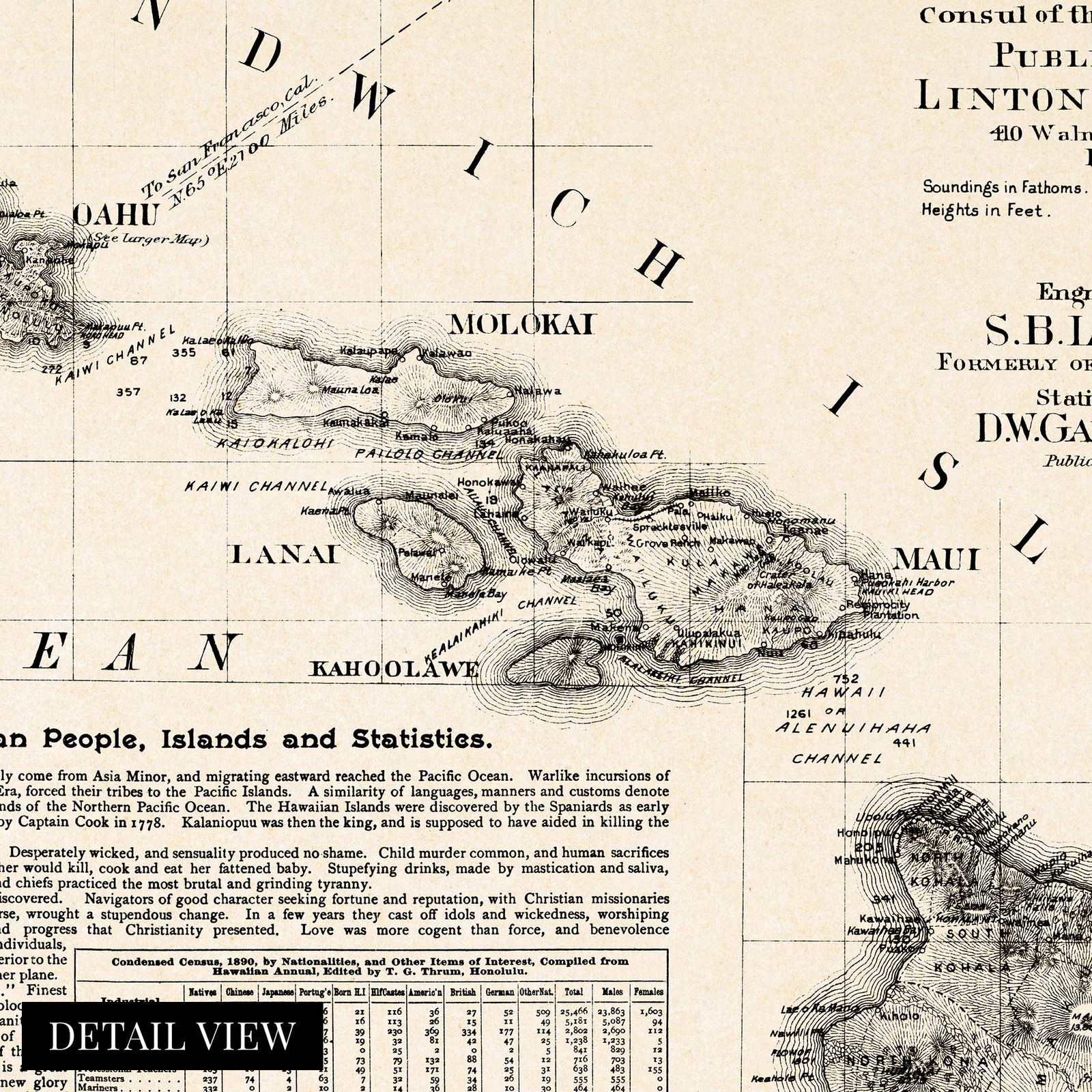
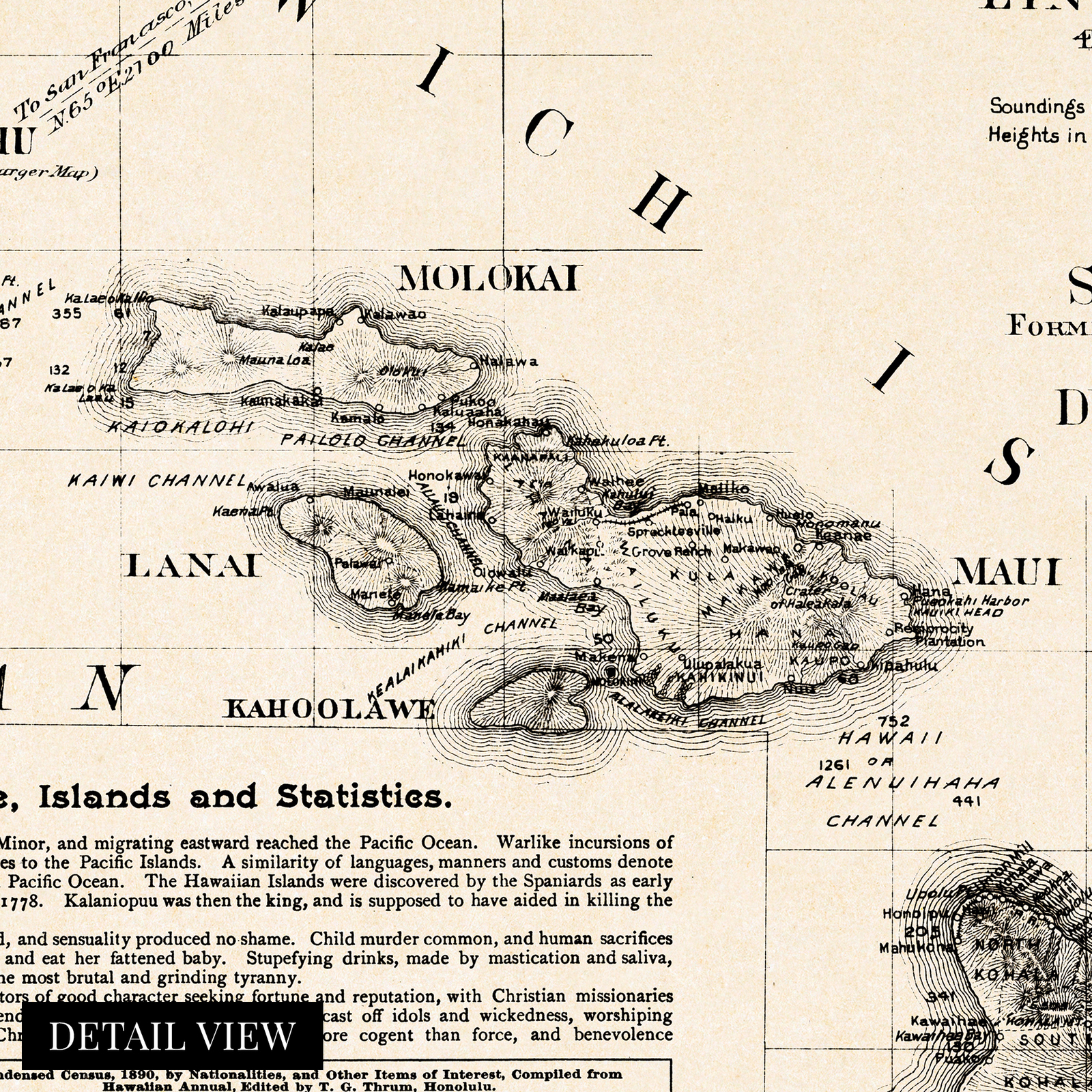
The 1890s were a time of significant transition for the Hawaiian Islands, and the depiction of the iconic archipelago in this 1893 publication transports the viewer back in time. Printed just five years before The United States would annex the island chain, the area was already being transformed by a thriving sugarcane farming industry, and vast fortunes were being made. 1893 marked the overthrowing of the last monarch following her attempt to ratify a new constitution granting her absolute authority, and a provisional government was formed.
This map was published before the five years when Hawaii was recognized as a sovereign nation, one of two states in the Union to have done so. The Islands were first documented in 1778 by British explorer Captain James Cook and were dubbed The Sandwich Islands. Cook was killed by natives on the island in 1779 following a dispute over the theft of a small ship.
The storied history of the islands has captivated American tourists for years, and tourism has always been a primary economic driver. The 1890s saw advances in sea travel, and the ability to quickly cross vast oceans opened the islands up to visitors. Tales spread through mainland America after authors Mark Twain and Jack London experienced the local tradition of ?wave sliding? or surfing.
This topographical map represented the vanguard of depth maps, with soundings being laboriously produced by vessels in coastal waters and surveyors using the latest technology to indicate the heights of the mountain; this an authentic piece of cartographical history.
Our ready-to-hang wall art are printed and framed in the USA using the highest quality materials with professional craftsmanship. This beautiful artwork is a perfect addition to your themed decor. Historic prints look great in the home, study or office. They also make an unforgettable gift.
|
Why are we showing these items?
Search Results
Print, art prints"print" Category "Art Prints"
|


-
Refine your browsing experience
We can show you more items that are exactly like the original item, or we can show you items that are similar in spirit. By default we show you a mix.


This item has been added to your cart
 1893 Hawaiian Islands Map - Framed Vintage Map of Hawaiian Islands Wall Art added to cart.
64 available in stock
1893 Hawaiian Islands Map - Framed Vintage Map of Hawaiian Islands Wall Art added to cart.
64 available in stock
View Cart or continue shopping.
 Please wait while we finish adding this item to your cart.
Get an item reminder
We'll email you a link to your item now and follow up with a single reminder (if you'd like one). That's it! No spam, no hassle.
Already have an account?
Log in and add this item to your wish list.