1906 Map of Casco Bay Portland Maine - and 50 similar items


Free Shipping
1906 Map of Casco Bay Portland Maine - Vintage Casco Bay Wall Art Poster Print
$39.99 - $59.99
View full item details »

Shipping options
Seller handling time is 1 business day Details
FREE in United States
Return policy
Full refund available for DOAs
Details
Purchase protection
Payment options
PayPal accepted
PayPal Credit accepted
Venmo accepted
PayPal, MasterCard, Visa, Discover, and American Express accepted
Maestro accepted
Amazon Pay accepted
Nuvei accepted
View full item details »
Shipping options
Seller handling time is 1 business day Details
FREE in United States
Return policy
Full refund available for DOAs
Details
Purchase protection
Payment options
PayPal accepted
PayPal Credit accepted
Venmo accepted
PayPal, MasterCard, Visa, Discover, and American Express accepted
Maestro accepted
Amazon Pay accepted
Nuvei accepted
Item traits
| Category: | |
|---|---|
| Quantity Available: |
8 in stock |
| Condition: |
New |
| Subject: |
Maps |
| Style: |
Vintage |
| Type: |
Wall Art |
| Features: |
Museum Quality |
| Theme: |
History |
| Artist: |
Various |
| Region of Origin: |
Made in the USA |
| Framing: |
Unframed |
| Brand: |
HISTORIX |
| Sizes: |
Listing details
| Seller policies: | |
|---|---|
| Shipping discount: |
Seller pays shipping for this item. |
| Posted for sale: |
April 13 |
| Item number: |
1738798013 |
Item description
Feature Points
VINTAGE MAP REPRODUCTION: You?ll love this high quality historic reproduction of 1906 Map of Casco Bay Portland Maine. Our museum quality maps are archival grade, which means it will look great and last without fading for over 100 years. Our print to order maps are made in the USA and each map is inspected for quality. This beautiful artwork is a perfect addition to your themed decor. Vintage maps look great in the home, study or office. They make a perfect gift as well.
MUSEUM QUALITY: This high quality map print will be a great addition to your vintage-themed wall. Don't waste money on cheap-looking, thin paper posters. We use thick, fine art print quality matte paper. Our professional?s choice matte paper displays artwork in high detail without glare. The color is vibrant and text is easy to read. When framed, this map looks absolutely stunning.
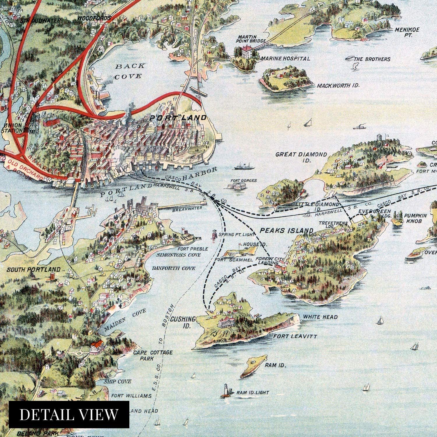
A LOOK BACK AT HISTORY: This is an impressive, historic reproduction of 1906 Map of Casco Bay Portland Maine. This print is from an original found in the maps and geography division of the US Library of Congress. A true piece of history. See our product description section for more fascinating information about this historic map and its significance.
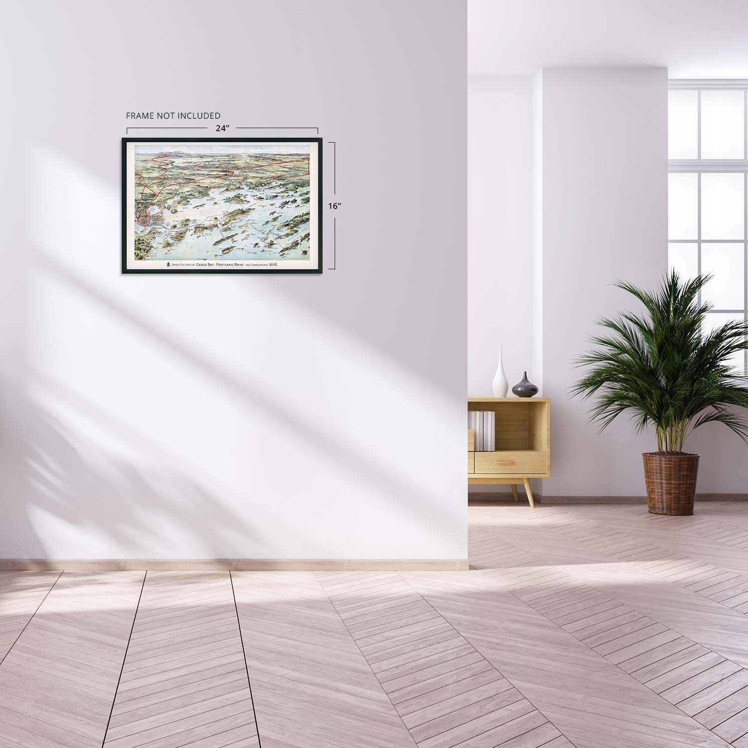
READY TO FRAME: This print includes a 0.2 inch border for a perfect frame fit and look. Our maps are designed to fit easy-to-find standard frame sizes, saving you money from having to pay for a custom frame. Each map is inspected for quality and shipped in a rigid tube.
HISTORIX: We love history and art. Sometimes old maps have tears, folds, separations and other blemishes. We digitally restore and enhance maps while keeping its historical character. All our maps are proudly made in the USA. Customers all over the world love our vintage maps and we know you will too.
Additional Information
With an official 136 islands in the Casco Bay, it figured prominently in the War of 1812, serving as an anchorage for US Naval ships. The waters that are surrounded by Portland, Maine have long served as the primary economic driver for the city, and commercial fishing is an essential industry.
Produced by George H. Walker?s lithography company in 1906, this stunning depiction shows the railroads and steamship lines that were so important to the region. Walker?s grandson and great-grandson would later both become President of the United States. The peninsula was originally settled in 1632 as a fishing and trading village. By the turn of the 20th century, the region was well known for its sailing and sport fishing.
By 1911 five railroads used the city as a hub, and it remains the largest city in Maine. These hubs were essential for the region, and goods flowed into the Northeast and Canada. The nearby town of Deering was annexed by Portland in 1899 and greatly expanded the area for development away from the shoreline.
The Grand Trunk Railroad was completed in 1852 and served as the primary source for imports to Montreal, especially crucial in the winter months when the city became inaccessible by water. This trade route was an important income source for residents of Portland, and the Portland Rail Company produced more than 600 locomotives. This stunning depiction shows the city in a time of great prosperity and is truly an authentic piece of cartographical history.
Ourmuseum quality giclee print comes printed with archival ink on premium heavyweight matte paper. Shipped in a sturdy cardboard tube your print will arrive ready to be framed. This eye-catching vintage map reproduction print makes the perfect gift for anyone that loves history and imagery.


 - $15.00")


-
Refine your browsing experience
We can show you more items that are exactly like the original item, or we can show you items that are similar in spirit. By default we show you a mix.


 *Francine De... - $75.00")


 Edition Lithograph on Paper- Las... - $1,695.00")
This item has been added to your cart
 1906 Map of Casco Bay Portland Maine - Vintage Casco Bay Wall Art Poster Print added to cart.
8 available in stock
1906 Map of Casco Bay Portland Maine - Vintage Casco Bay Wall Art Poster Print added to cart.
8 available in stock
View Cart or continue shopping.
 Please wait while we finish adding this item to your cart.
Get an item reminder
We'll email you a link to your item now and follow up with a single reminder (if you'd like one). That's it! No spam, no hassle.
Already have an account?
Log in and add this item to your wish list.