1910 Dominican Republic Map Poster - History and 47 similar items


Free Shipping
1910 Dominican Republic Map Poster - History Map of Dominican Republic Wall Art
$39.99 - $59.99
View full item details »

Shipping options
Seller handling time is 2 business days Details
FREE in United States
Return policy
Full refund available for DOAs
Details
Purchase protection
Payment options
PayPal accepted
PayPal Credit accepted
Venmo accepted
PayPal, MasterCard, Visa, Discover, and American Express accepted
Maestro accepted
Amazon Pay accepted
Nuvei accepted
View full item details »
Shipping options
Seller handling time is 2 business days Details
FREE in United States
Return policy
Full refund available for DOAs
Details
Purchase protection
Payment options
PayPal accepted
PayPal Credit accepted
Venmo accepted
PayPal, MasterCard, Visa, Discover, and American Express accepted
Maestro accepted
Amazon Pay accepted
Nuvei accepted
Item traits
| Category: | |
|---|---|
| Quantity Available: |
16 in stock |
| Condition: |
New |
| Subject: |
Maps |
| Style: |
Vintage |
| Type: |
Wall Art |
| Features: |
Museum Quality |
| Theme: |
Vintage |
| Artist: |
Various |
| Region of Origin: |
Made in the USA |
| Brand: |
HISTORIX |
| Sizes: |
Listing details
| Seller policies: | |
|---|---|
| Shipping discount: |
Seller pays shipping for this item. |
| Posted for sale: |
More than a week ago |
| Item number: |
1738794770 |
Item description
Feature Points
VINTAGE MAP REPRODUCTION: You?ll love this high quality historic reproduction of 1910 Dominican Republic Map Poster. Our museum quality prints are archival grade, which means it will look great and last without fading for over 100 years. Our print to order maps are made in the USA and each map is inspected for quality. This beautiful artwork is a perfect addition to your themed decor. Vintage maps look great in the home, study or office. They make a perfect gift as well.
MUSEUM QUALITY: This high quality map print will be a great addition to your vintage-themed wall. Don't waste money on cheap-looking, thin paper posters. We use thick, fine art print quality matte paper. Our professional?s choice matte paper displays artwork in high detail without glare. The color is vibrant and text is easy to read. When framed, this map looks absolutely stunning.
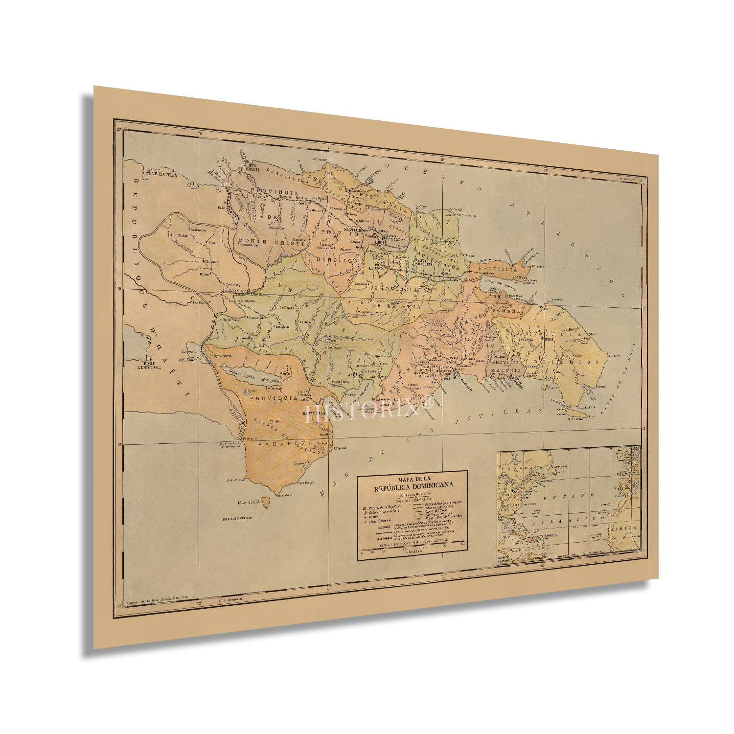
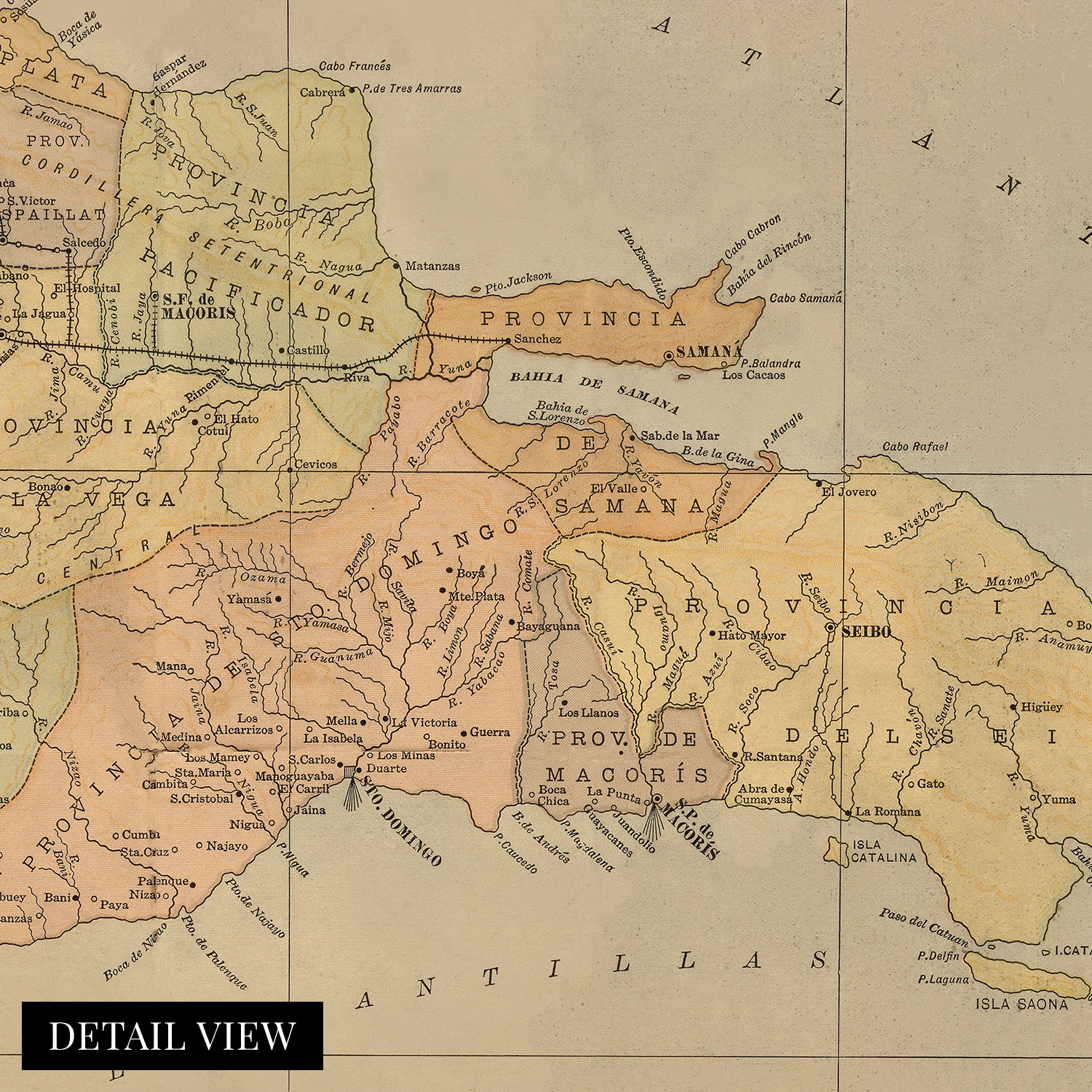
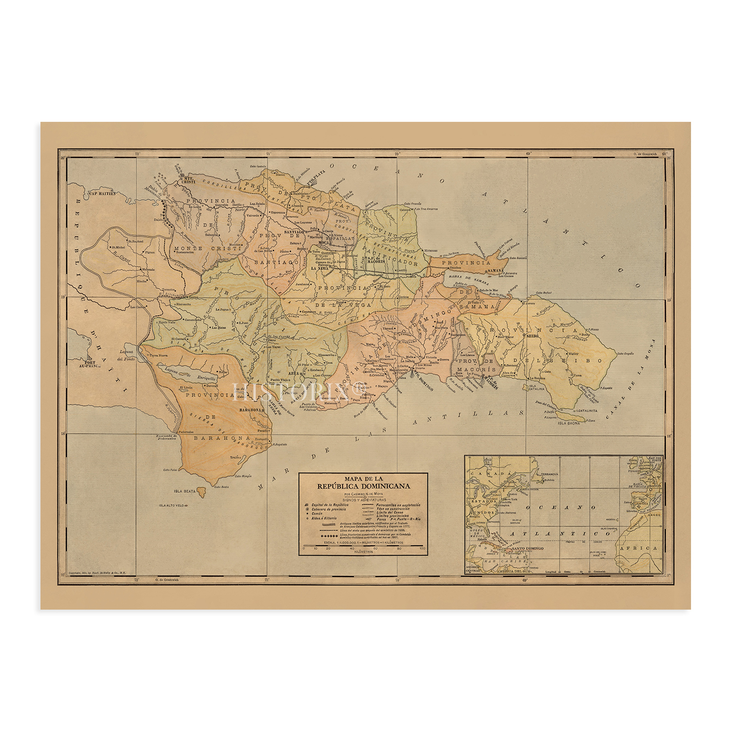
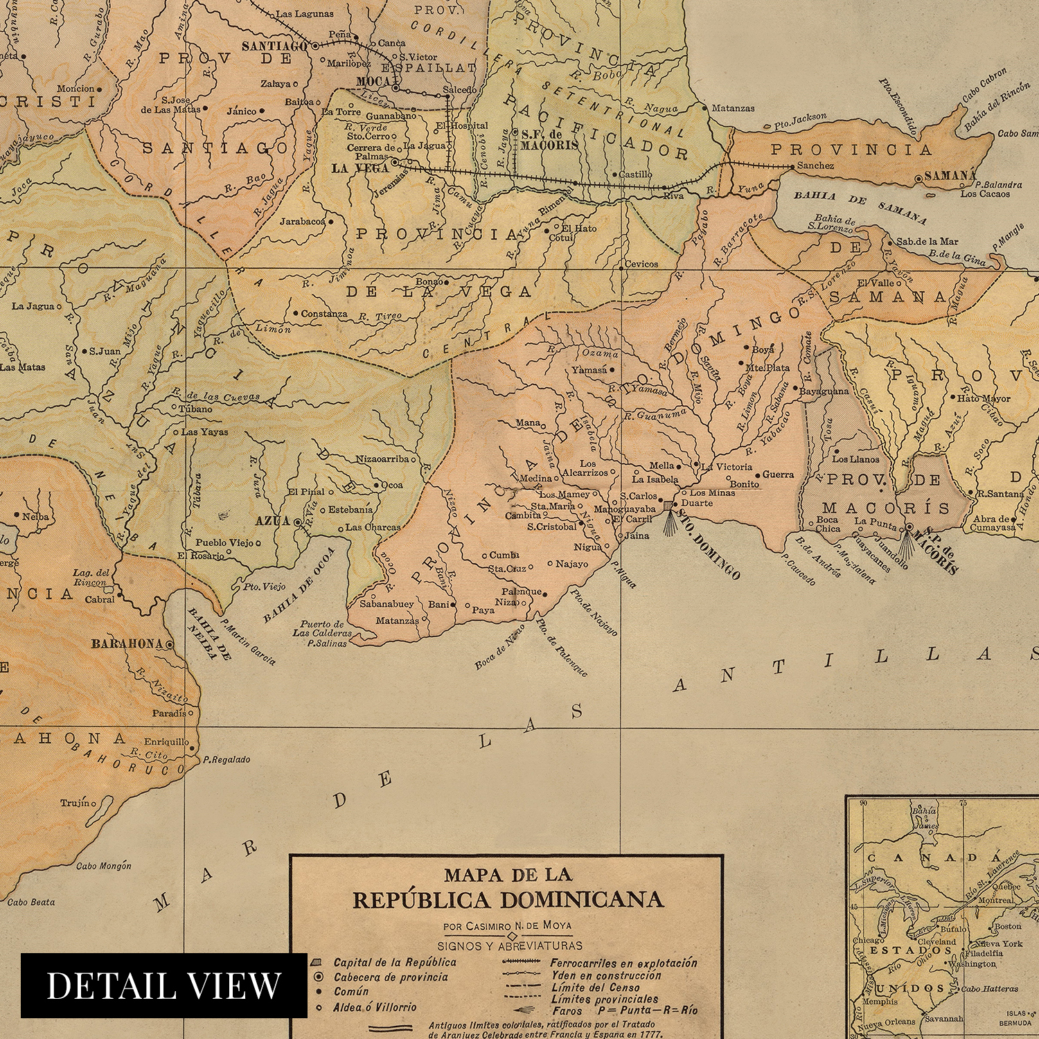
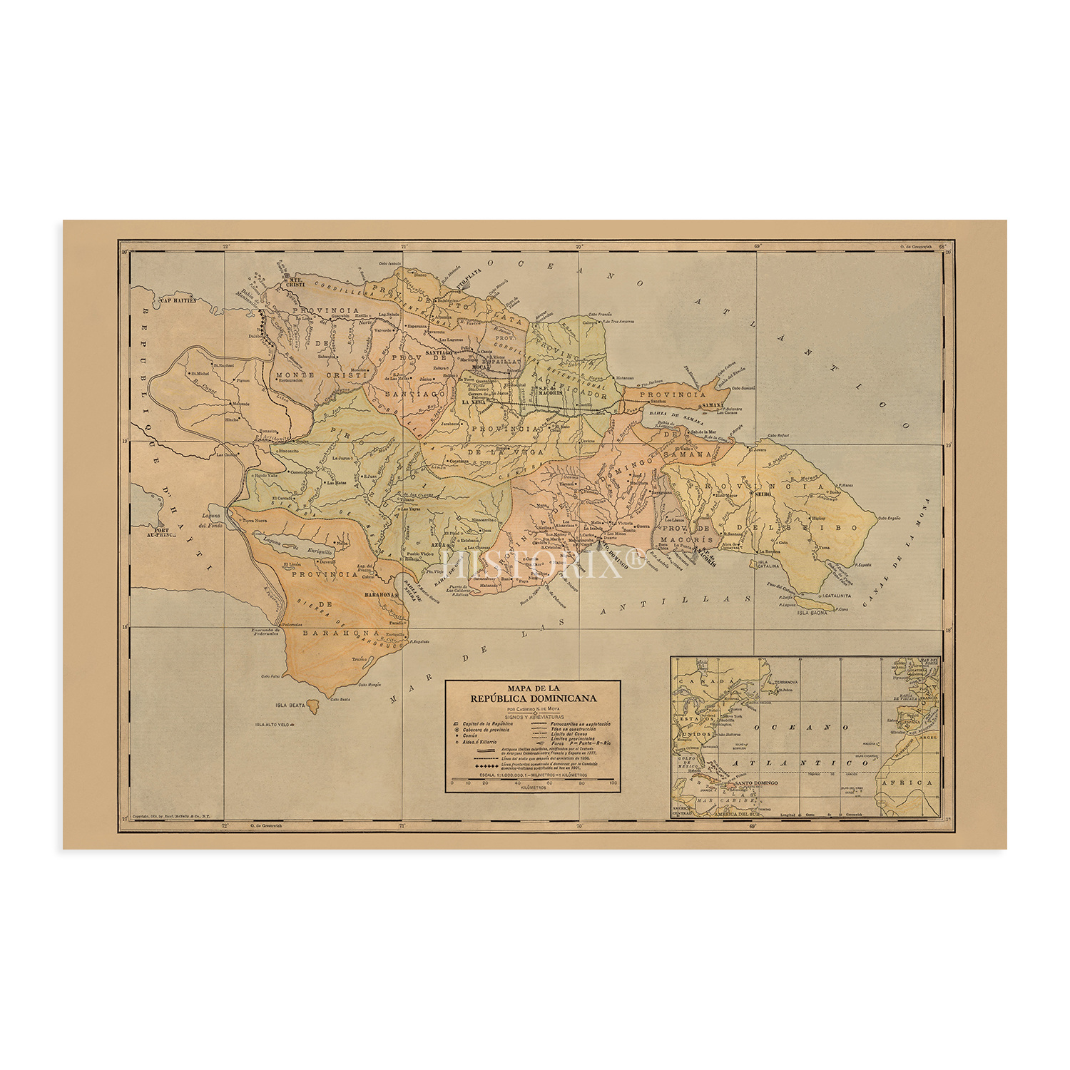
A LOOK BACK AT HISTORY: This is an impressive, historic reproduction of 1910 Dominican Republic Historical Map. A true piece of history. See our product description section for more fascinating information about this historic map and its significance.
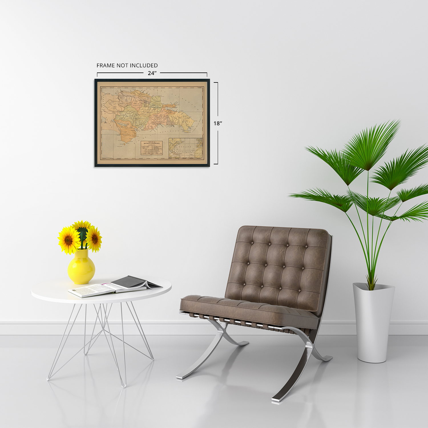
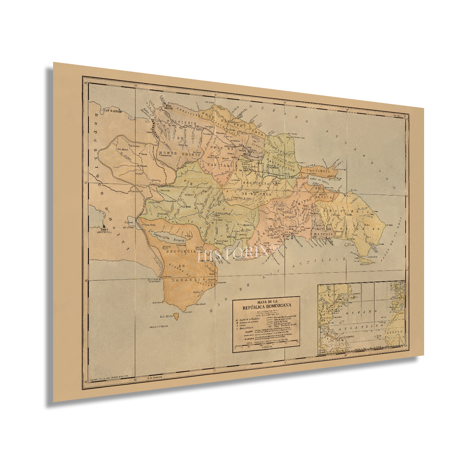
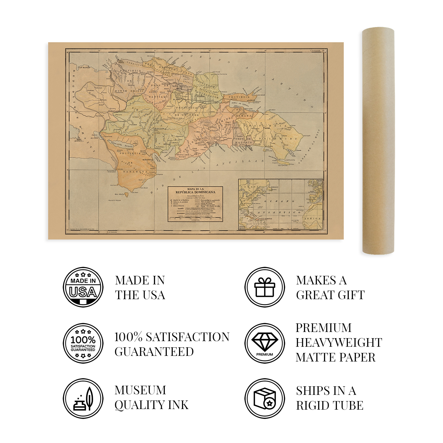
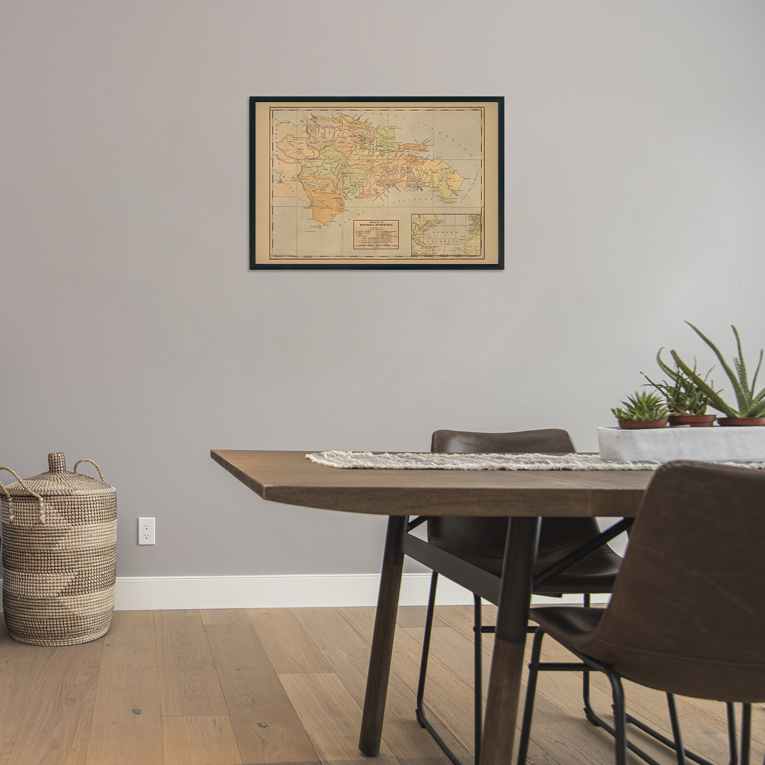
READY TO FRAME: This print includes a 0.2 inch border for a perfect frame fit and look. Our maps are designed to fit easy-to-find standard frame sizes, saving you money from having to pay for a custom frame. Each map is inspected for quality and shipped in a rigid tube.
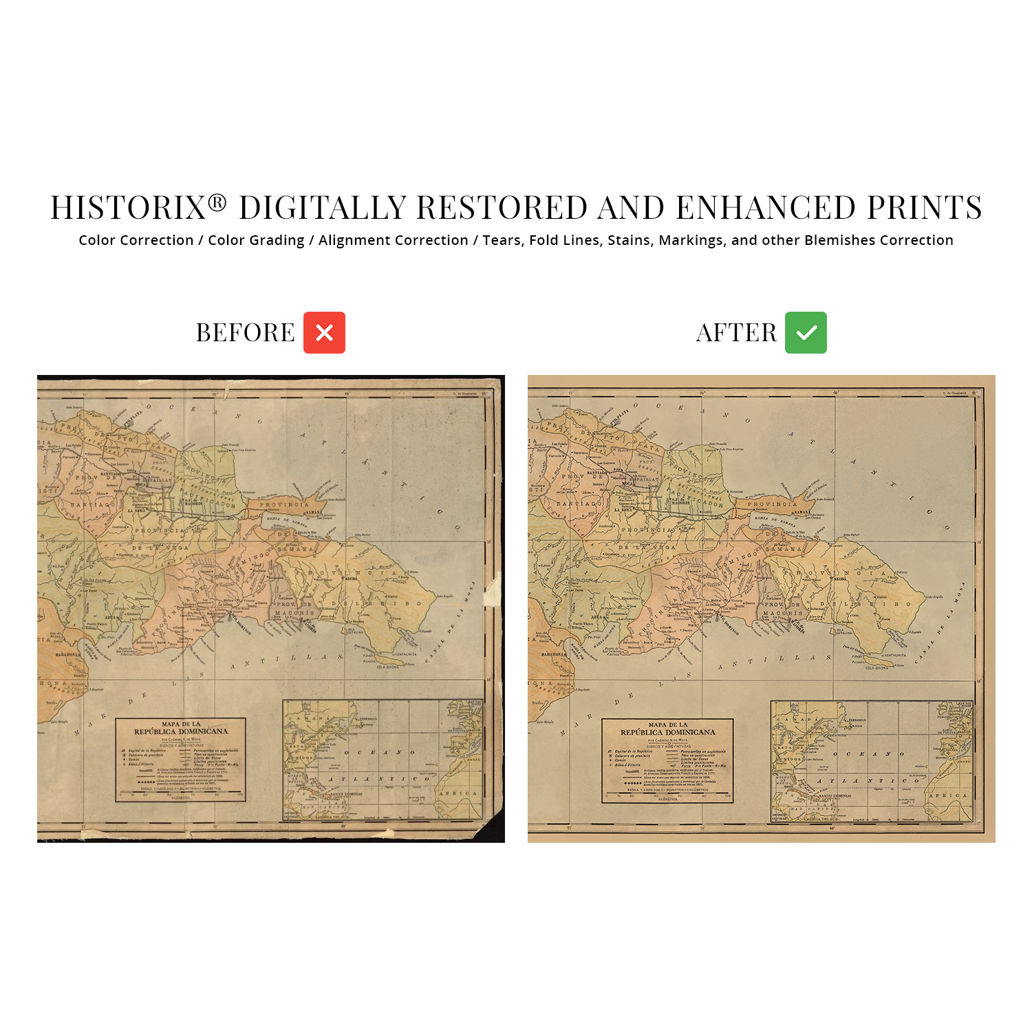
HISTORIX: We love history and art. Sometimes old maps have tears, folds, separations and other blemishes. We digitally restore and enhance maps while keeping its historical character. All our maps are proudly made in the USA. Customers all over the world love our vintage maps and we know you will too.
Additional Information
Produced and published by the iconic American cartography company Rand McNally this stunning depiction of the eastern two-thirds of the island of Hispaniola shows it in a period of significant cultural and economic transformation. The Dominican Republic is the site of the first permanent European settlement in Santo Domingo, following the first European contact with North America in 1492. Santo Domingo is now the capital of the Dominican Republic and has a population of more than three million. As the cultural, economic, and political center of the Dominican Republic, it also supports a bustling economy spurred by the significant seaport at the mouth of the Ozama River.
The nation achieved independence from Spanish colonial rule in 1821 after nearly three hundred years under the governance of the European nation. The country bears a distinctive culture with European influences blended with indigenous traditions. Santo Domingo was an essential port for nearly all of its five centuries of development, with some of the most significant voyages departing from the city as a waypoint from Europe to the Southern Pacific and Indian Oceans.
The Dominican Republic has a long, storied history since it was the first permanently settled region in North America. This publication shows it in a period of significant advances with modern technology allowing nations throughout the Caribbean to improve infrastructure and advance agricultural practices. The distinctive aesthetic and unique style immediately transport the viewer back in time, creating an indelible bond between the past and present in this piece of authentic cartographical history.
Our museum quality giclee print comes printed with archival ink on premium heavyweight matte paper. Shipped in a sturdy cardboard tube your print will arrive ready to be framed. This eye-catching vintage map reproduction print makes the perfect gift for anyone that loves history and imagery.
|
Why are we showing these items?
Search Results
Poster, art prints"poster" Category "Art Prints"
|


-
Refine your browsing experience
We can show you more items that are exactly like the original item, or we can show you items that are similar in spirit. By default we show you a mix.


This item has been added to your cart
 1910 Dominican Republic Map Poster - History Map of Dominican Republic Wall Art added to cart.
16 available in stock
1910 Dominican Republic Map Poster - History Map of Dominican Republic Wall Art added to cart.
16 available in stock
View Cart or continue shopping.
 Please wait while we finish adding this item to your cart.
Get an item reminder
We'll email you a link to your item now and follow up with a single reminder (if you'd like one). That's it! No spam, no hassle.
Already have an account?
Log in and add this item to your wish list.